
The Route des Grandes Alpes, i.e. the Great Alpine Road, is an extraordinary journey through the land of alpine peaks, lazy melting snow and endless narrow curves.
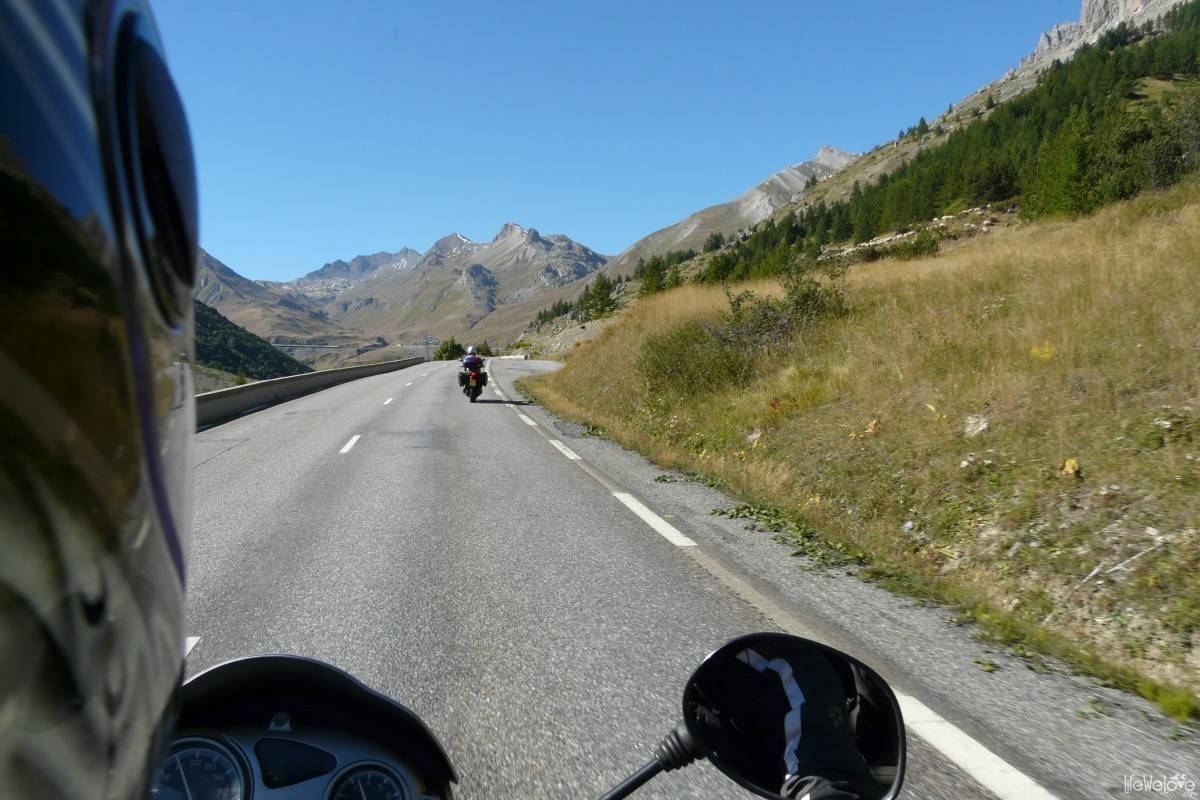
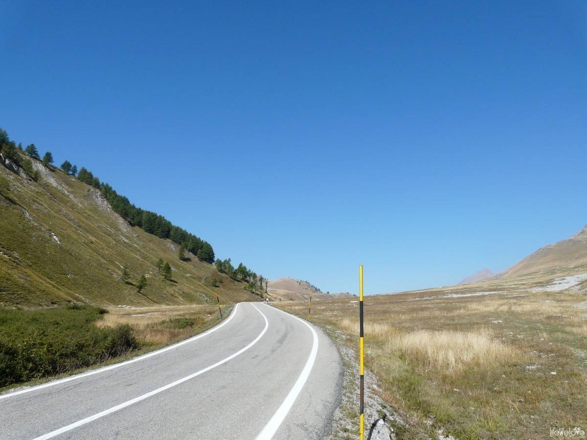
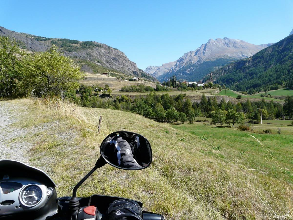
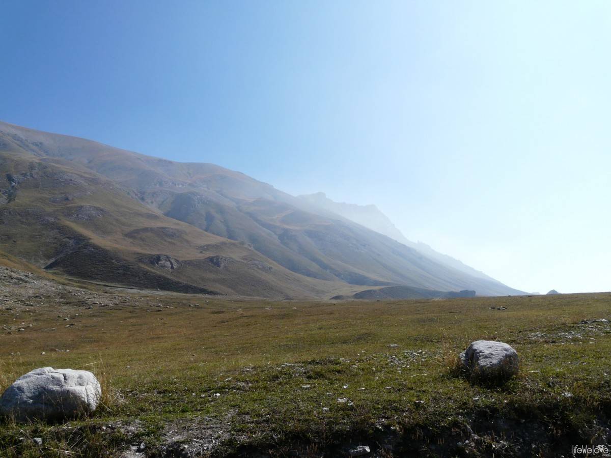
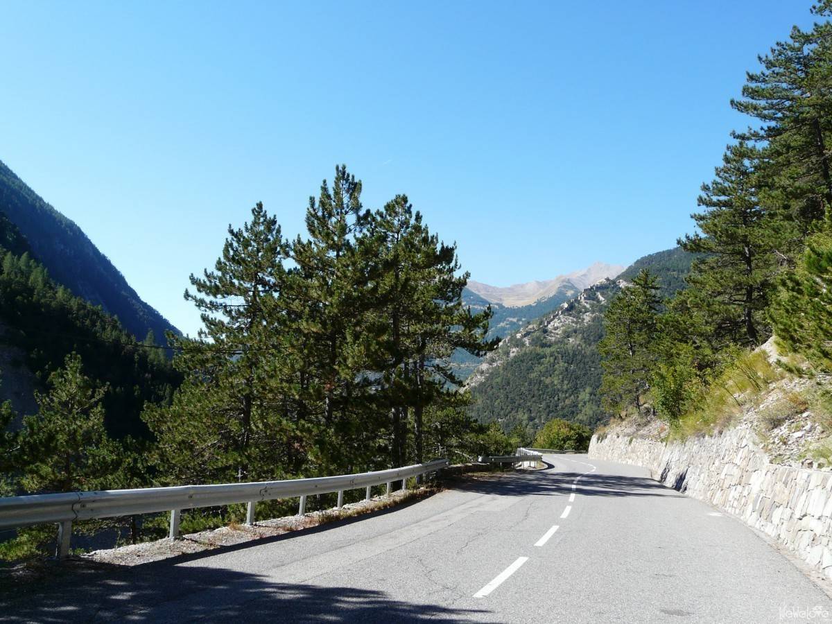
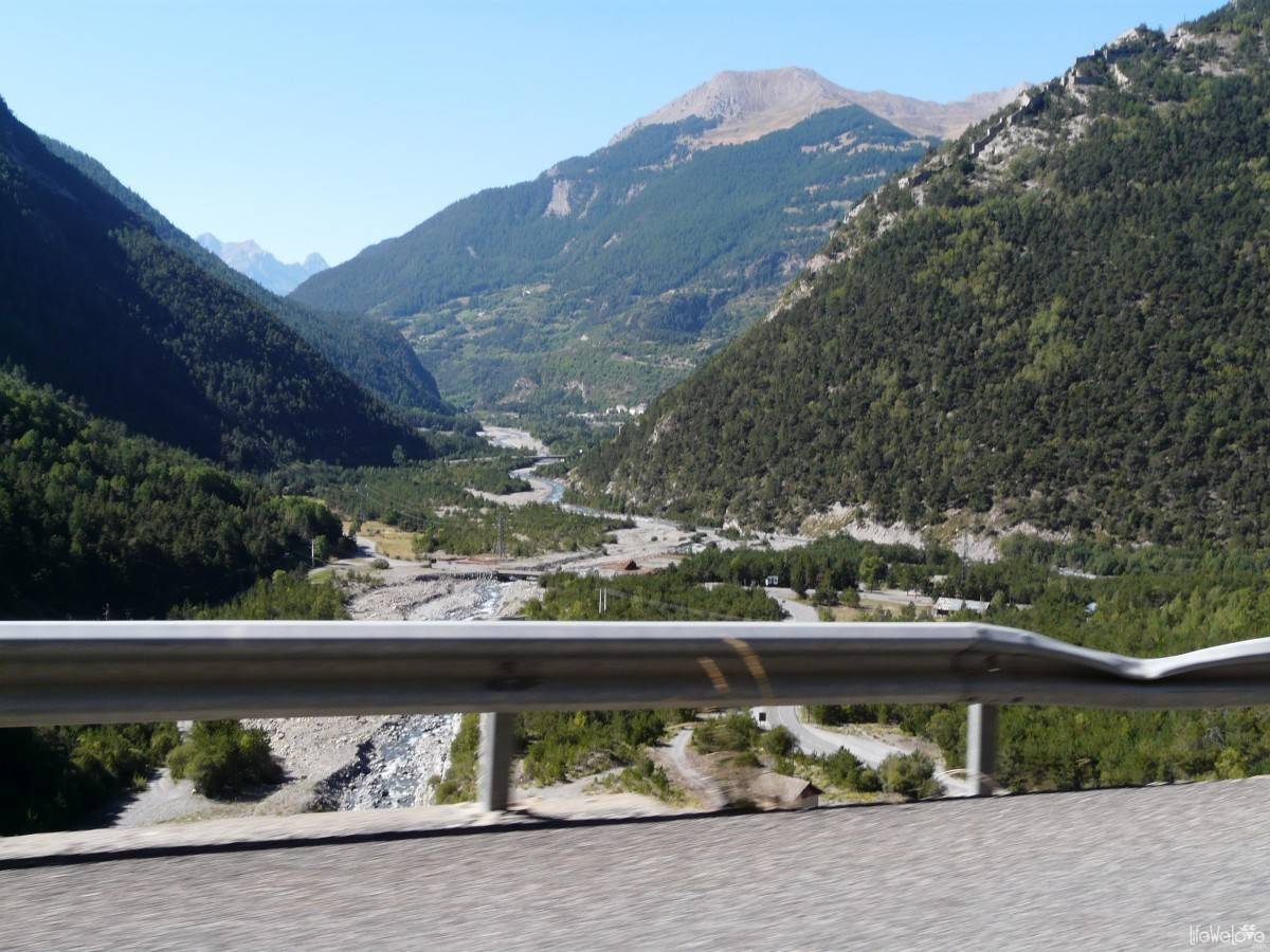
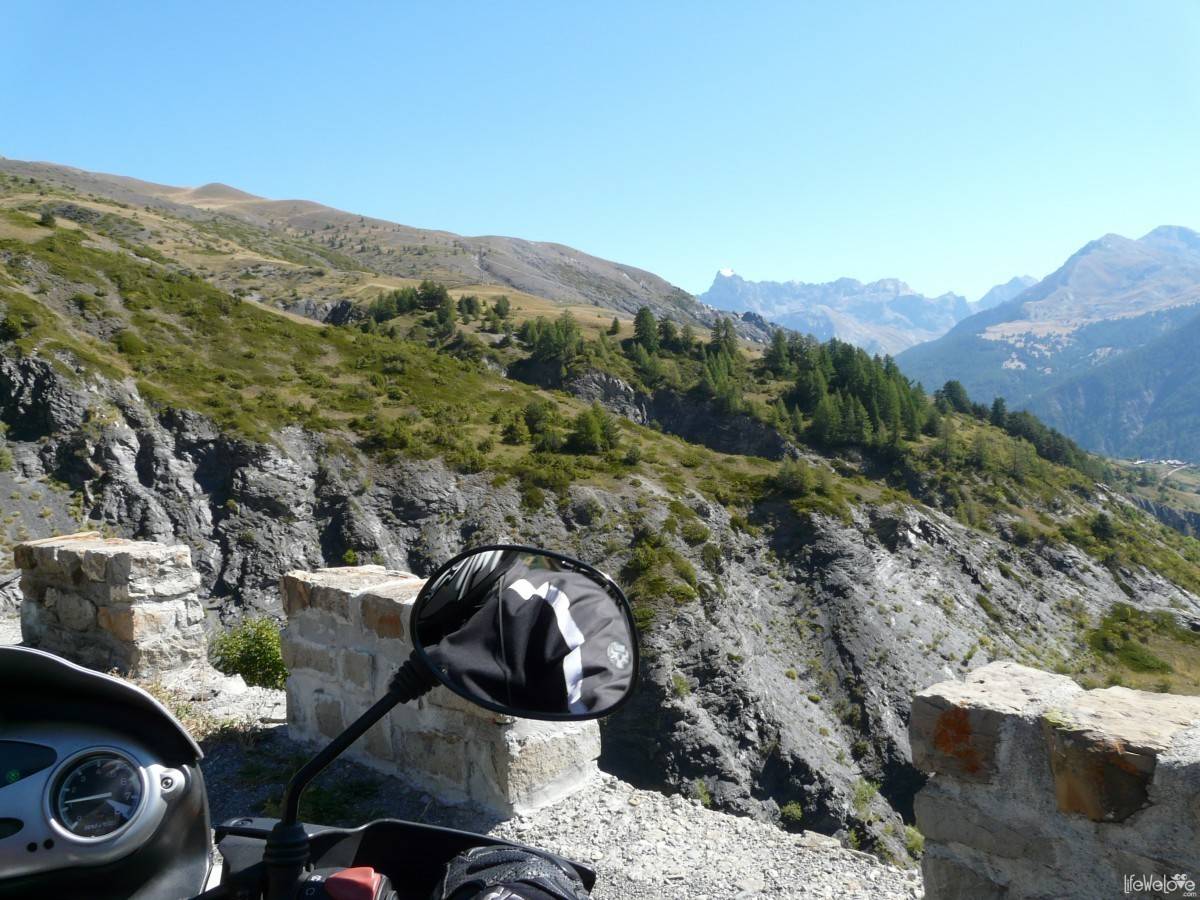
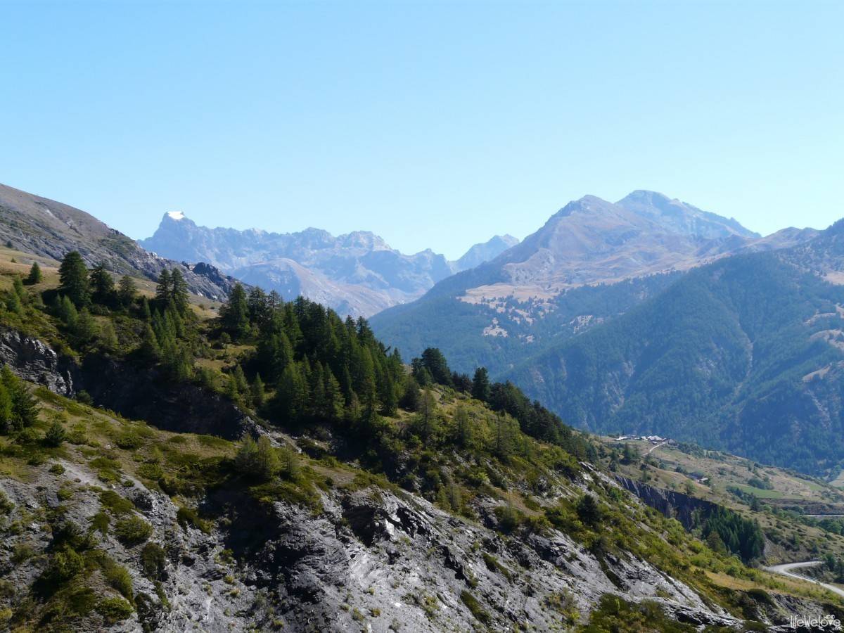
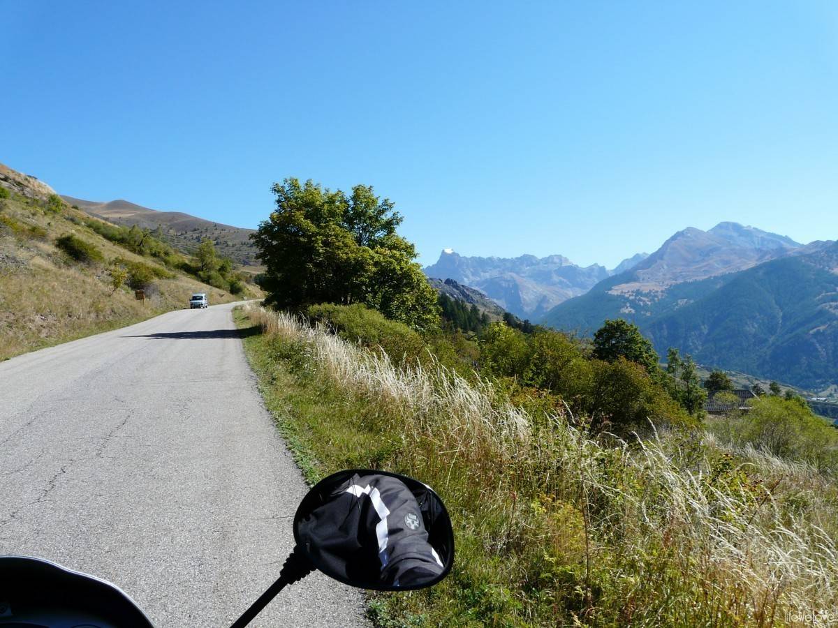
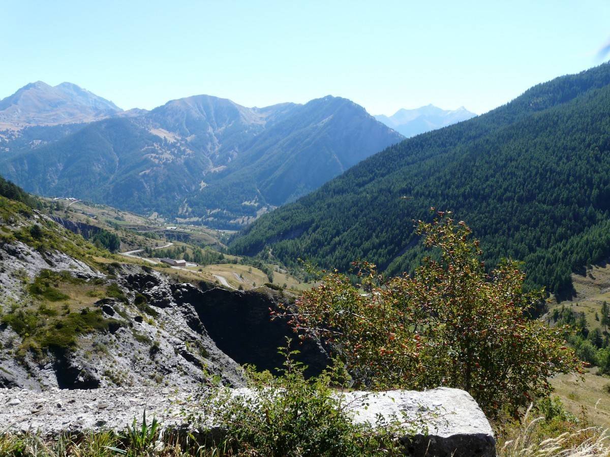
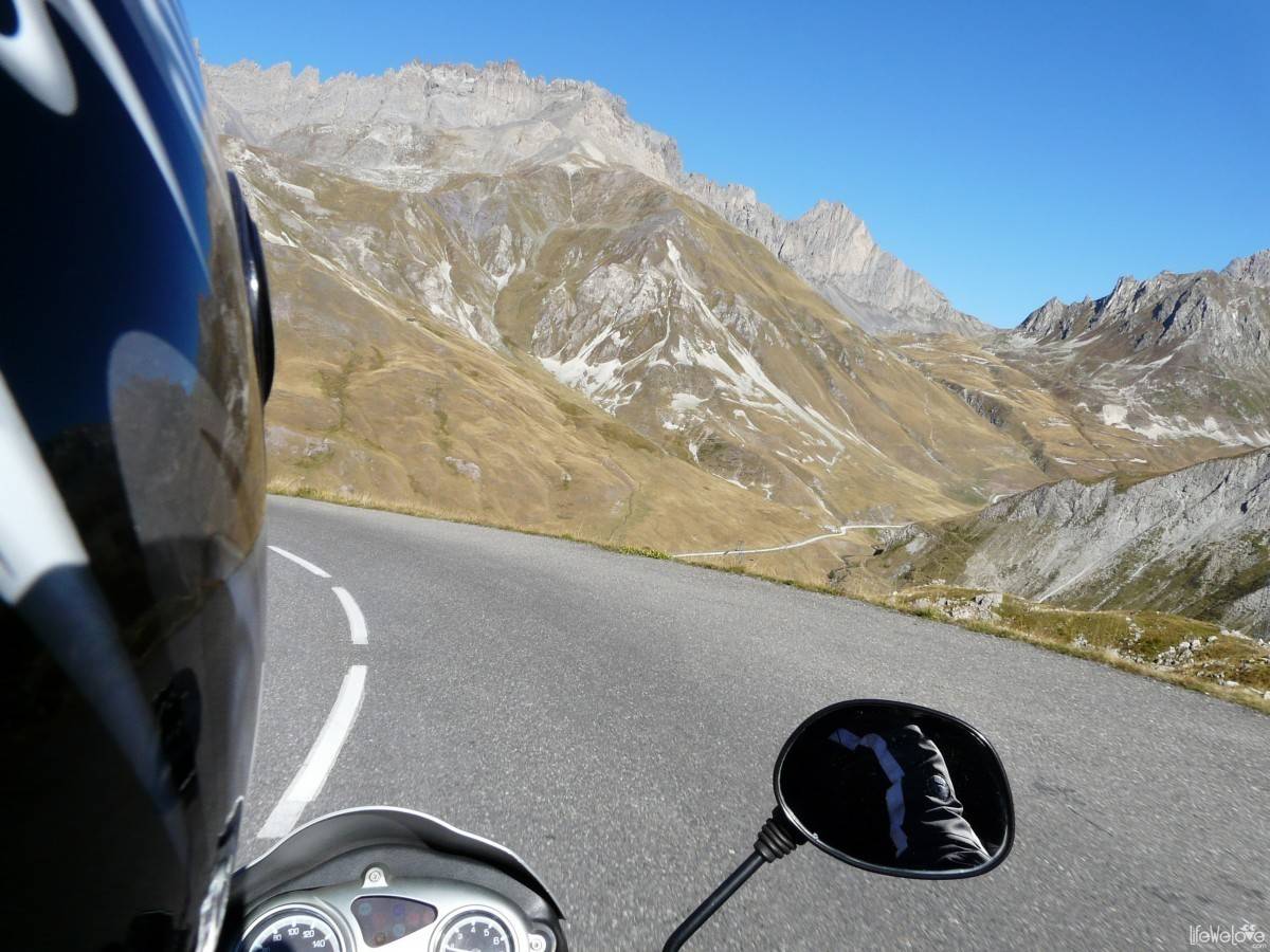
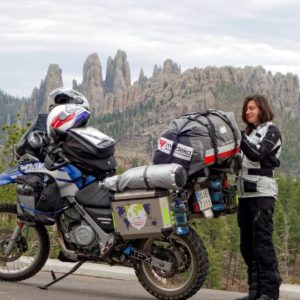
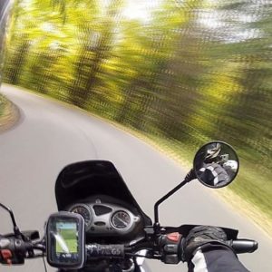
The fragment of the motorcycle route, captured by the digital camera:
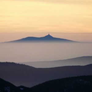
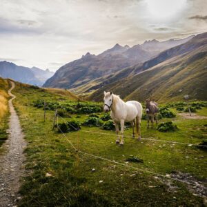
Looking from the south, where we were going, the route begins on the coast of France in the city of Menton and ends at Lake Geneva. According to the sources, the total length of the track is nearly 700 km and runs through 16 passes. Five of them are located at a height of over 2,000 meters above the sea level and, among them, the highest points: the Col de la Bonette (2,802 m), the Col de l’Iseran (2,770 m) and the Col du Galibier (2,645 m). The route is passable from June to October, but June does not belong to the safest months and some sections may still be closed due to the snow lying around.
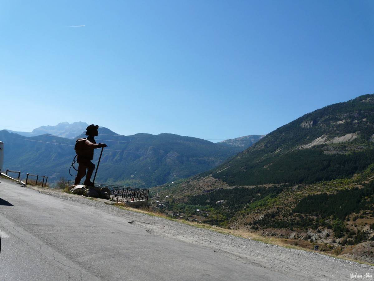
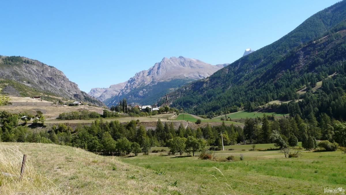
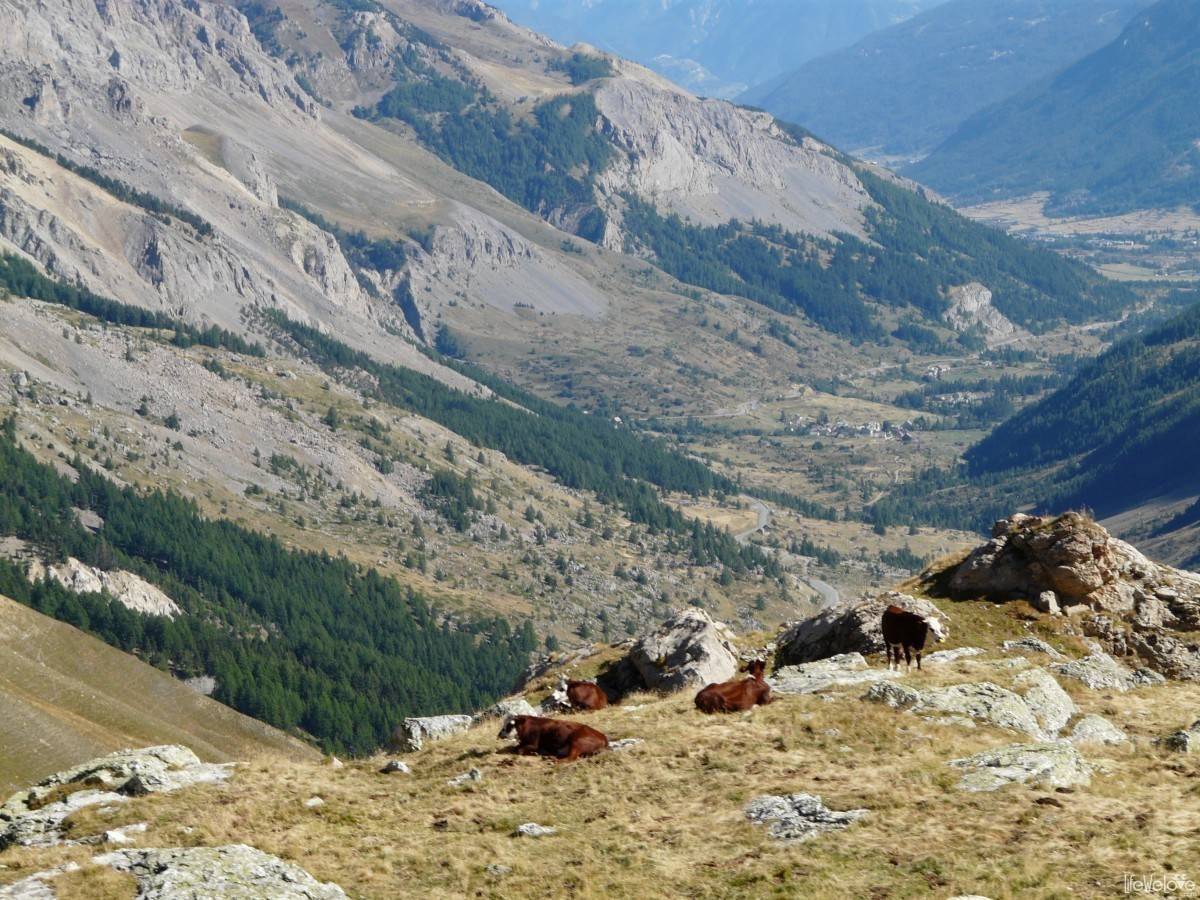
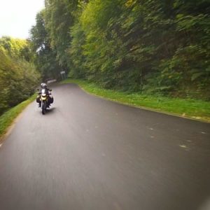
We began our adventure of the Great Alpine Road in a beautiful September afternoon, saying goodbye to Monaco and the Côte d’Azur. Rushed by the ending vacation and planned overnight stay in Annecy, we could not experience all of the passes, which require at least 3 days. We had only one and a half, so our path was a shortened version of this amazing route. That is why we did not go from Menton to the north, but further to the east, to Italy. We enjoyed the ride through the mountain towns and after a short time, we were again in France in the Mercantour National Park, the French Valley of Miracles. We could not afford exploring these miracles and headed further towards The Tende Pass, to once again enter Italy and begin our life adventure on the winding roads, the best routes in Europe.
The cols of the Route des Grandes Alpes we passed:
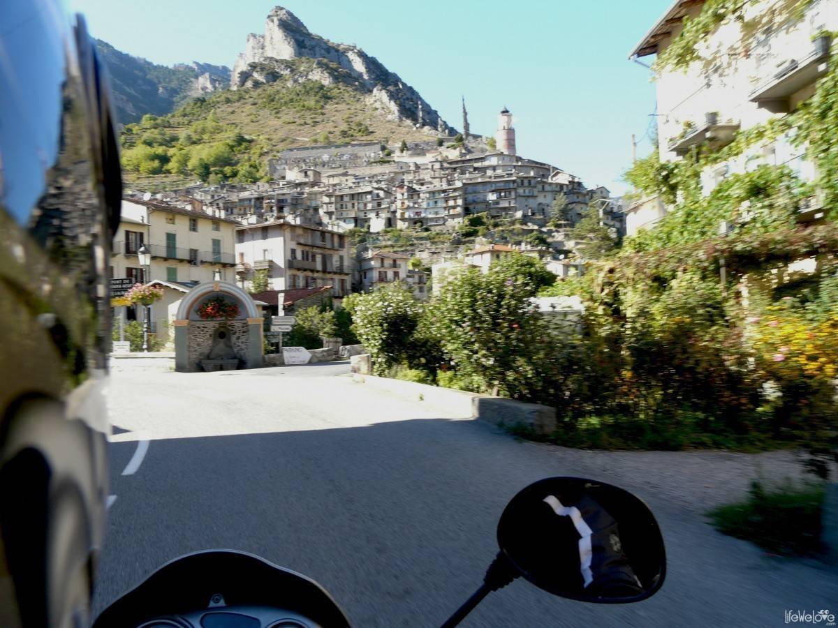
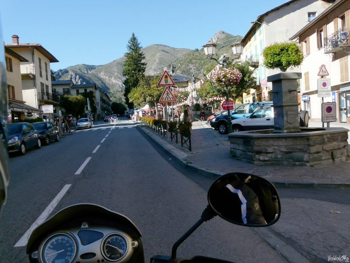
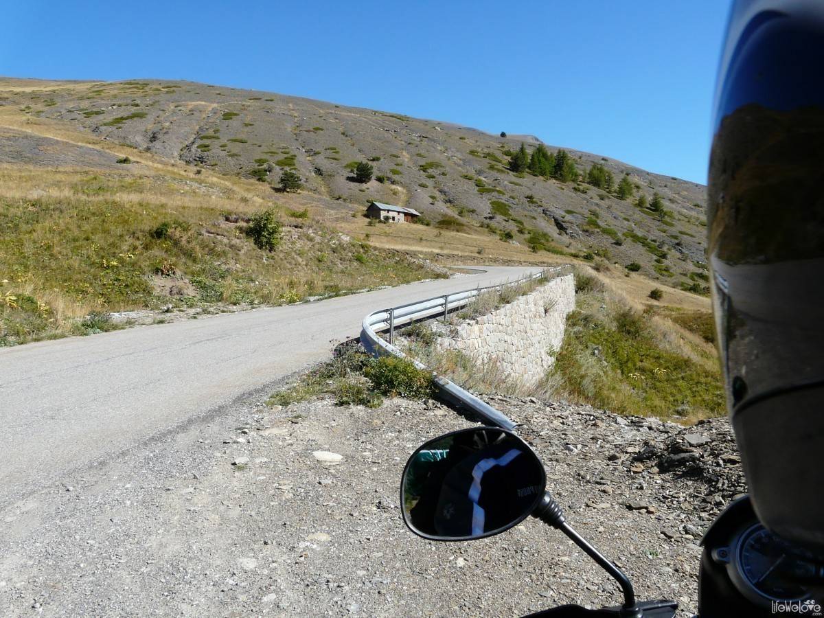
Col de Tende
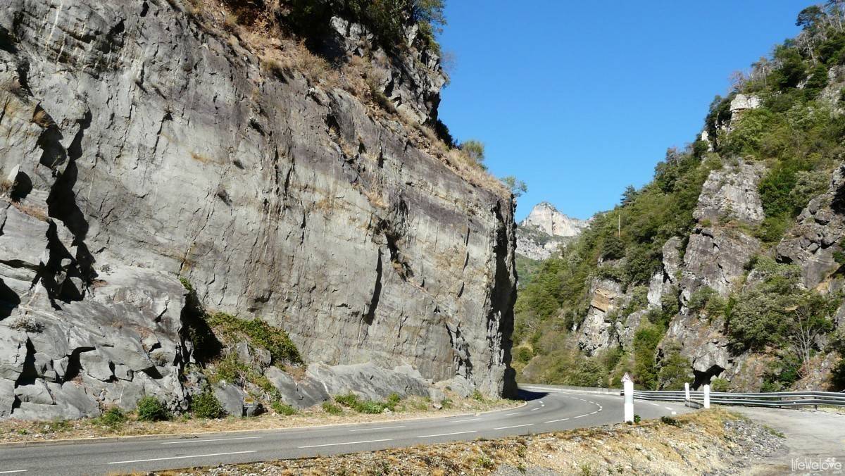

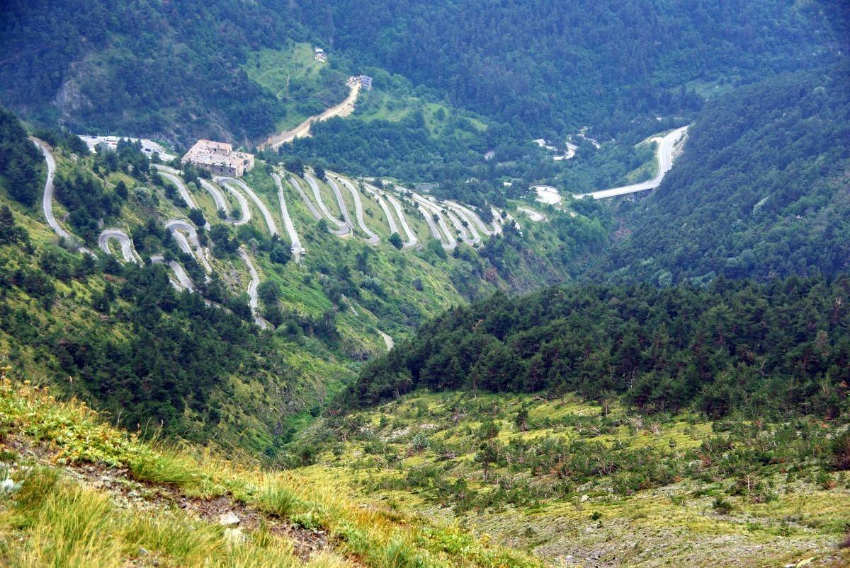
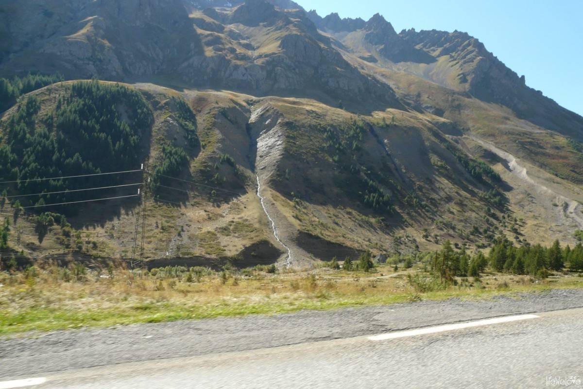
The route begins in the French town of Tende and ends in the Italian village of Panic Soprana. The pass separates the Ligurian Alps from Maritime Alps. In the beginning, the road runs quietly, without any sharp corners, but it is very enjoyable. The marine landscape changes into the alpine one and you can feel joy in your heart. The road becomes a promise of an incredible experience, because we know that it will be more and more spectacular with every following mile. Traffic volume is average, and the asphalt is very good. Nice curves start closer to the tunnel, on the border between France and Italy.

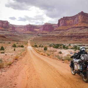
The tunnel is more than 3 km long and separates both countries. Traffic is one way, so we had to wait quite long for the green light. Choosing a journey through the tunnel you lose the best part of the route, where the height of the pass reaches 1,871 meters a. s. l., an asphalt ends and a gravel begins and where the gentle curves give way to the tight ones. In order not to miss the best part you need to turn left on the last corner before the tunnel, into a gravel road. On this trail you can find remains of Italian fortifications.
The length of the gravel road, running through the mountain ridges is about 25 km, while the tunnel is about 12 km.
Col de Larche (ital. Colle della Maddalena)

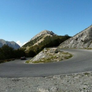
The pass separates the Cottian Alps from the Maritime Alps. It connects French town Larche with Italian Argentera. The height of the route reaches up to 1991 meters a. s. l. There is where the sharp curves (180°) begin, and the joy of driving rises enormously. The high peaks of the mountains emerge. Asphalt is good, but there is a lot of “road snakes” in the form of tar that seals road cracks. They took away a bit of my confidence while cornering. On the route many riders pass each other, including those who you can tell that know the road by heart and take it much faster than we do, in our slower pace that lets us take delight in landscapes. Thus we were often overtaken and greeted with a right foot waggled (standard way of greeting among French bikers). The length of the track is approximately 26 km.
Col de Vars

The route is situated at an altitude of 2,109 meters a. s. l. in Cottian Alps. The length is about 35 km. On the eastern side you can enjoy the view of the summit of La Tete de Paneyron (2,785 m), and the top of Pointe de L’Eyssina (2,837 m) on the west. Bends become gentle and the ride is calm and nice, even in spite of the cracked asphalt. Traffic volume is moderate. On the way you will find one of several, so-called shelters of Napoleon (fr. le refuge de Napoléon), built in 1855 and founded by the Emperor Napoleon Bonaparte. A double room there costs 37.50 Euro per person.
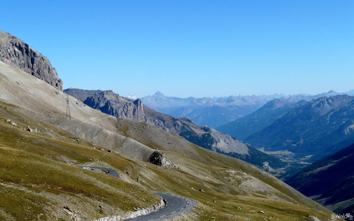
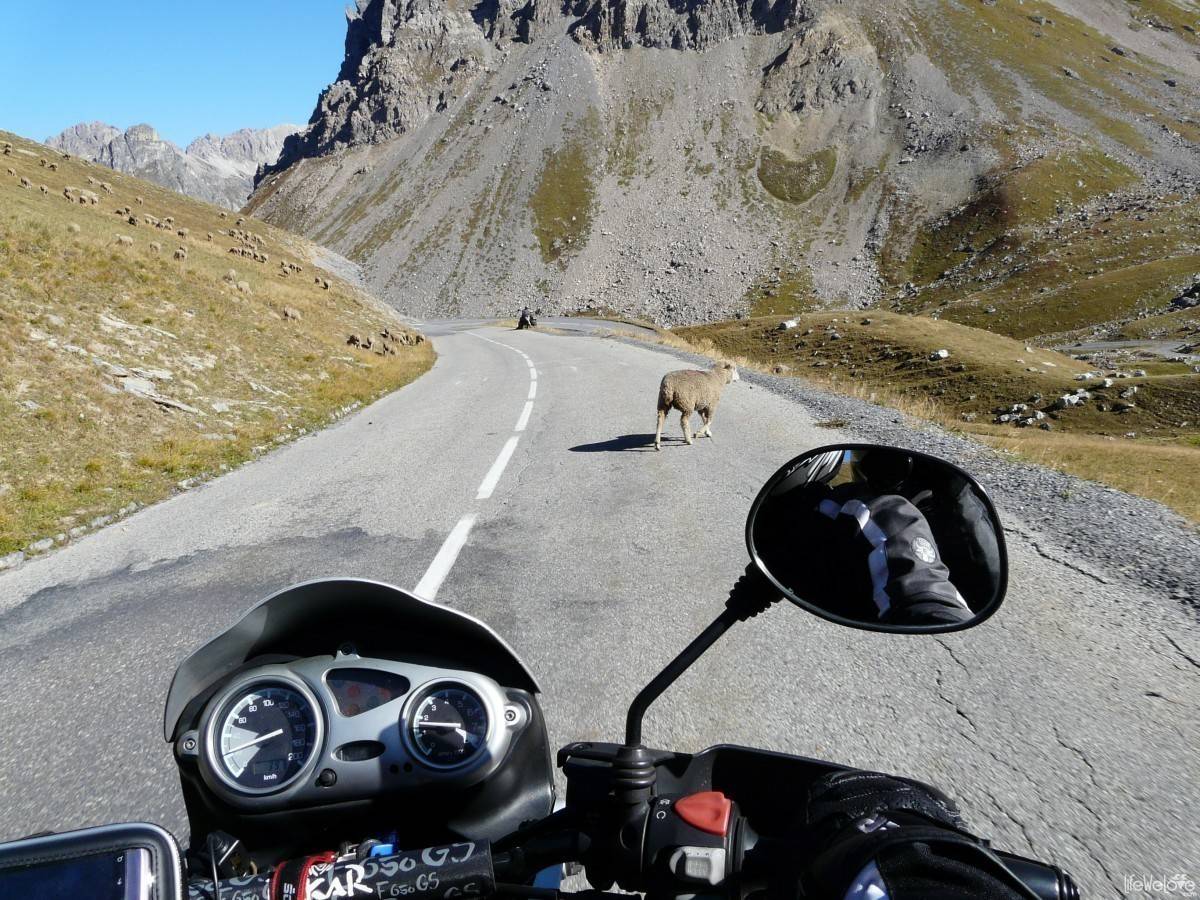
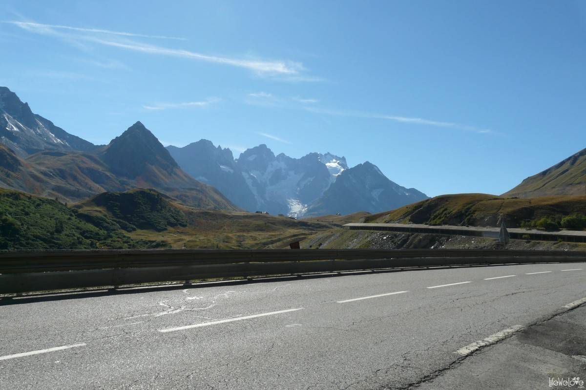
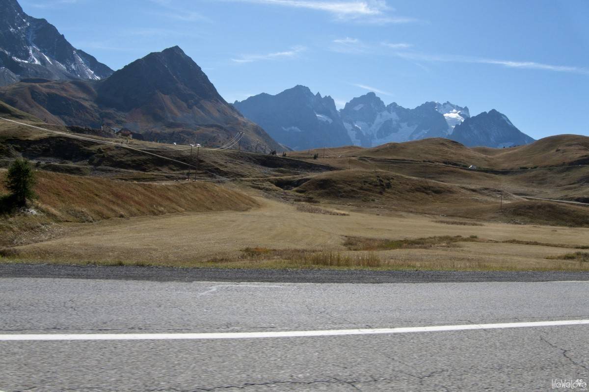
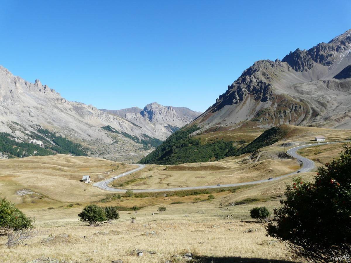
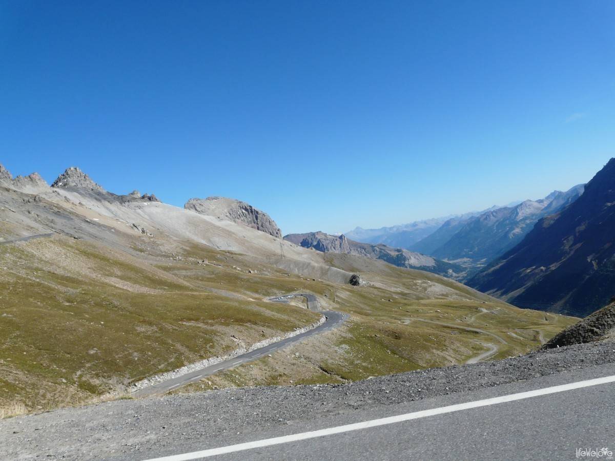
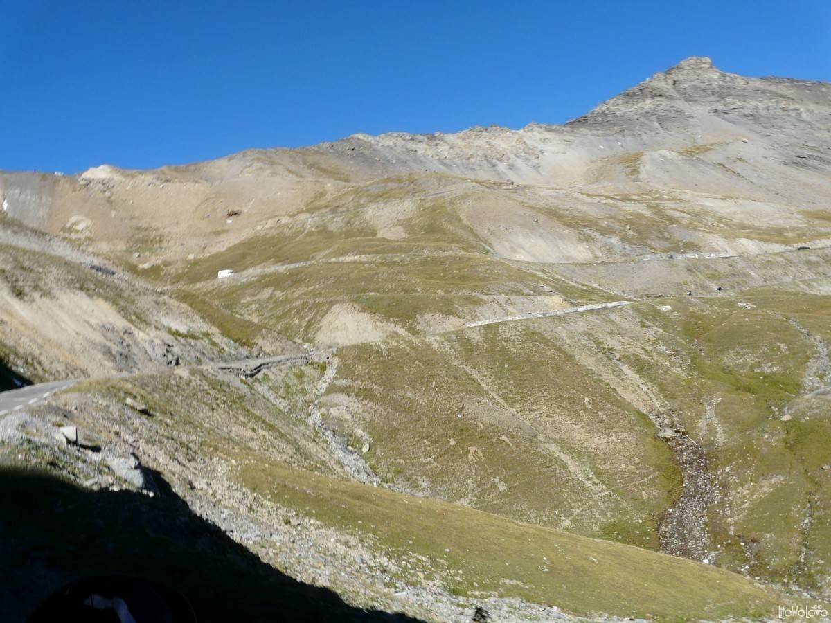
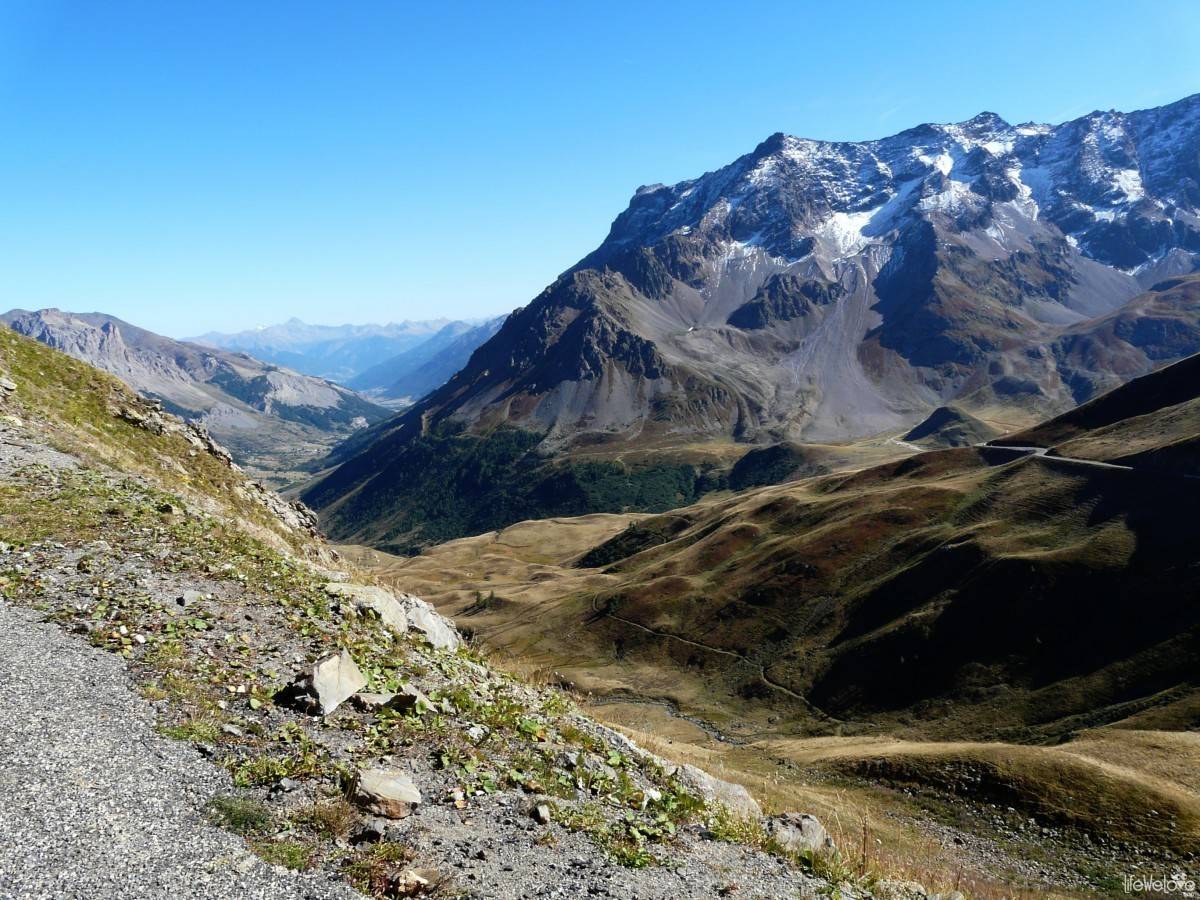
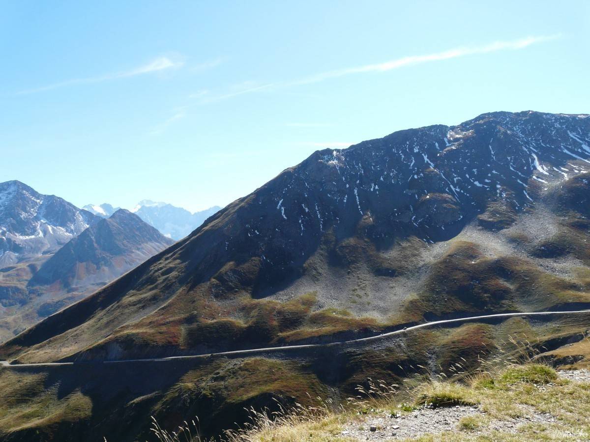
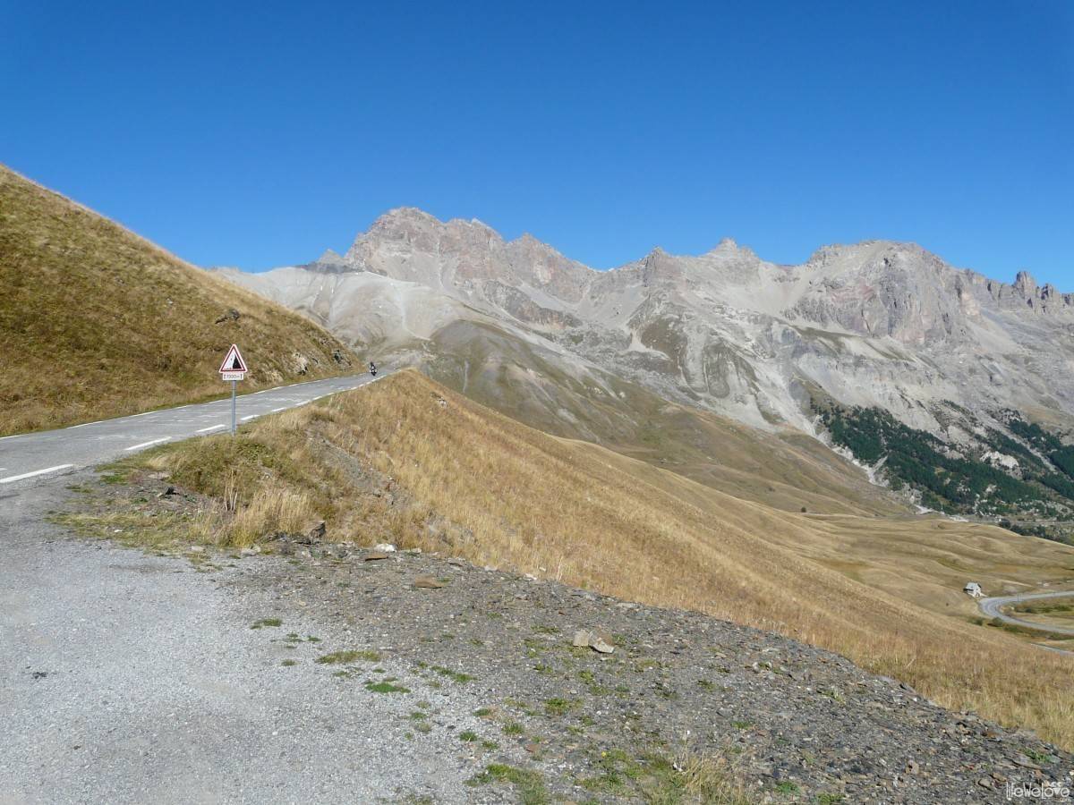
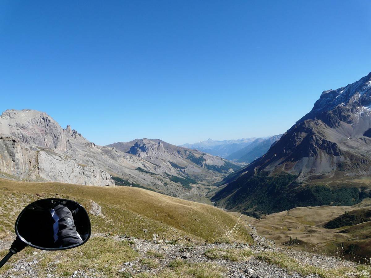
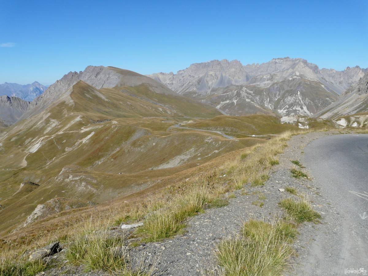
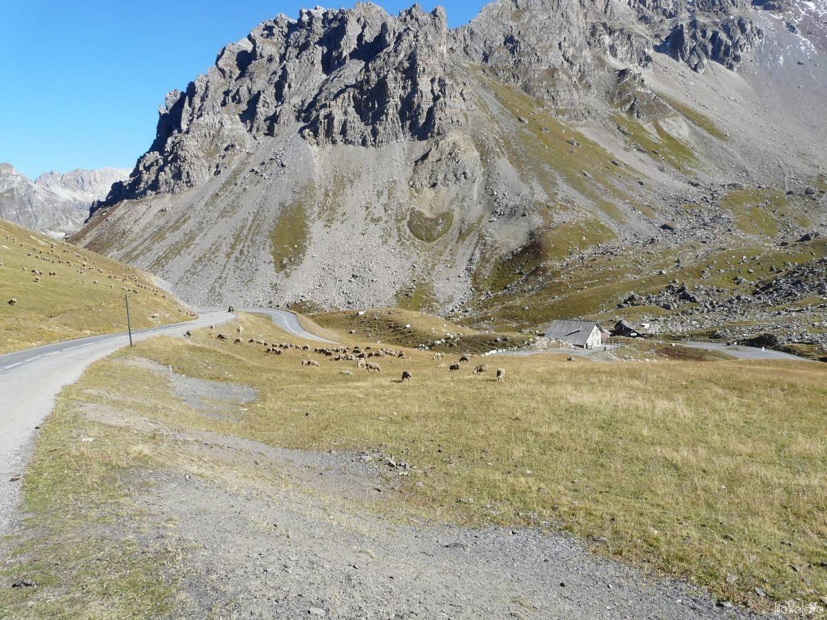
Col du Galibier
It was our highest route so far, at an altitude of 2,645 m a. s. l., in the Graian Alps. We passed many cyclists on the way, because it is one of the Tour De France sections. The panorama is beautiful. Most of the route we contemplated in silence, because how many times can you say “Beautifully! It’s wonderful here!”. The pass is located between the massif des Arvan-Villards on the west and the massif des Cerces with a view of the Grand Galibier (3229 m a. s. l.) on the east. A small traffic on the road and law number of four-wheeled vehicles was a nice surprise for us and pleasure of the ride and panorama absorption even greater. Unlikely to the Transfagarasan Road or Transalpina in Romania, where the traffic is always busy and you need to “release” from cars’ or buses’ companionship.
The length of the route is about 25 km. Asphalt is very good.

One thing is sure about the Route des Grandes Alpes – every version of this route planned by you will bring you a lot of excitement and positive emotions. Only later, when looking at the map, you can regret not having enough time to stay longer in this land to experience its every single mile.
loading map - please wait...
12 1

Kirill Tapkov
Very interesting story, and very useful for us, thanks for writing it! :-) I hope we’ll be in Alps in 2014 too)
Liwia & Joki
Glad to hear we could be helpful :) We also feel there is much more to experience than we had a chance and think of going there once again… Who knows, maybe we will meet somewhere on the road! We’ll keep fingers crossed for your plans!:)