
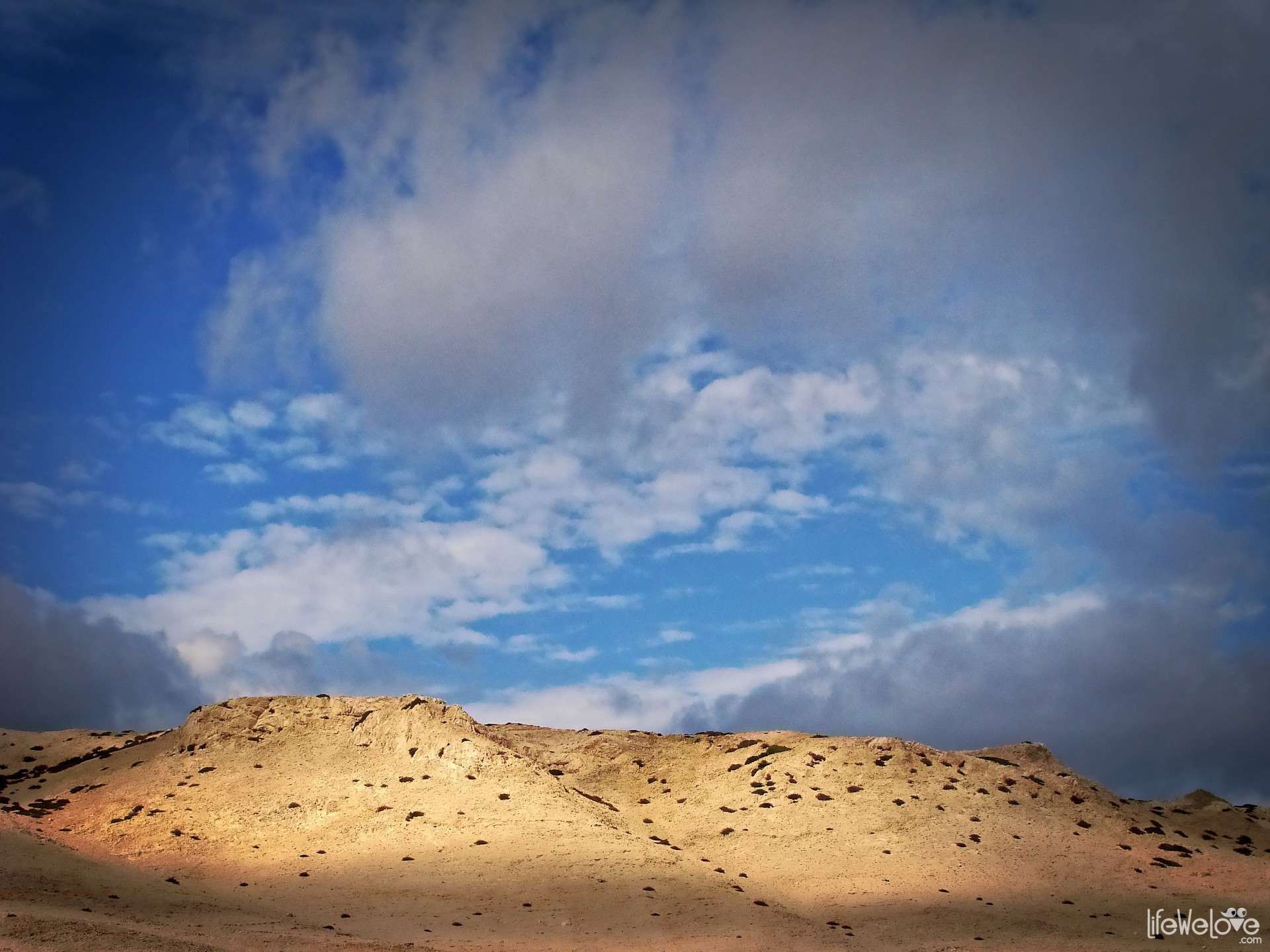
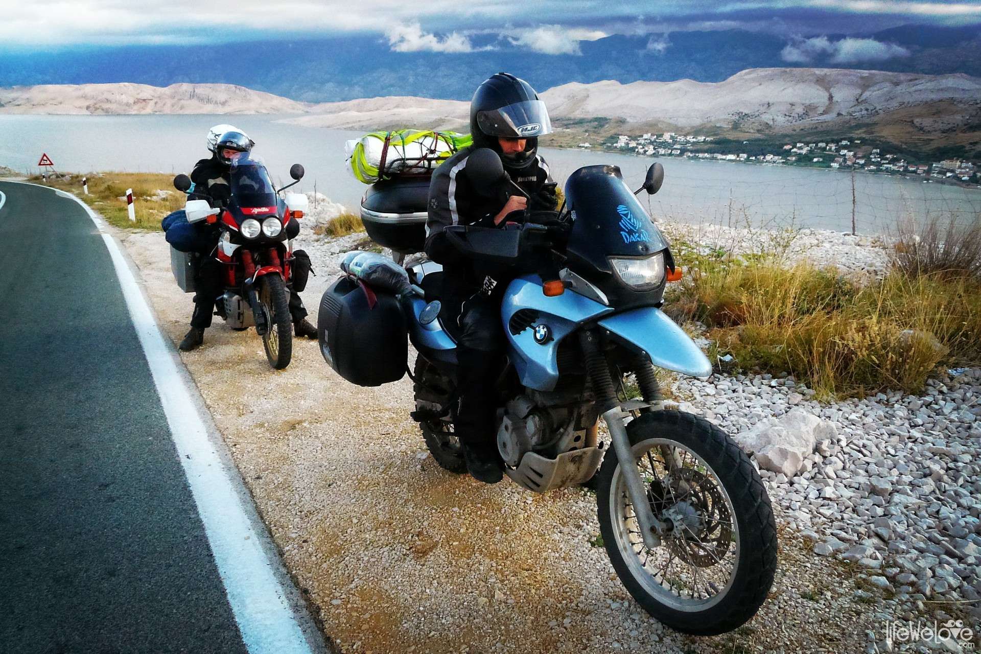
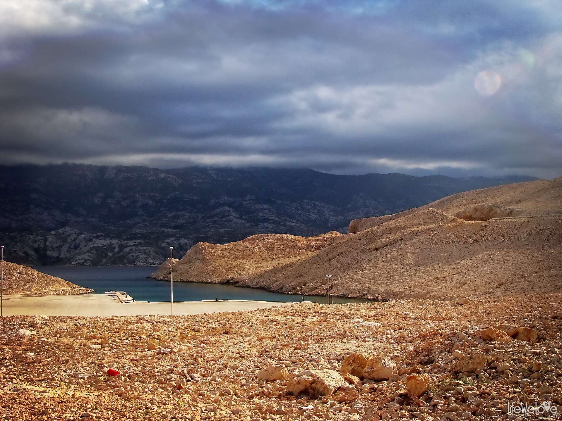
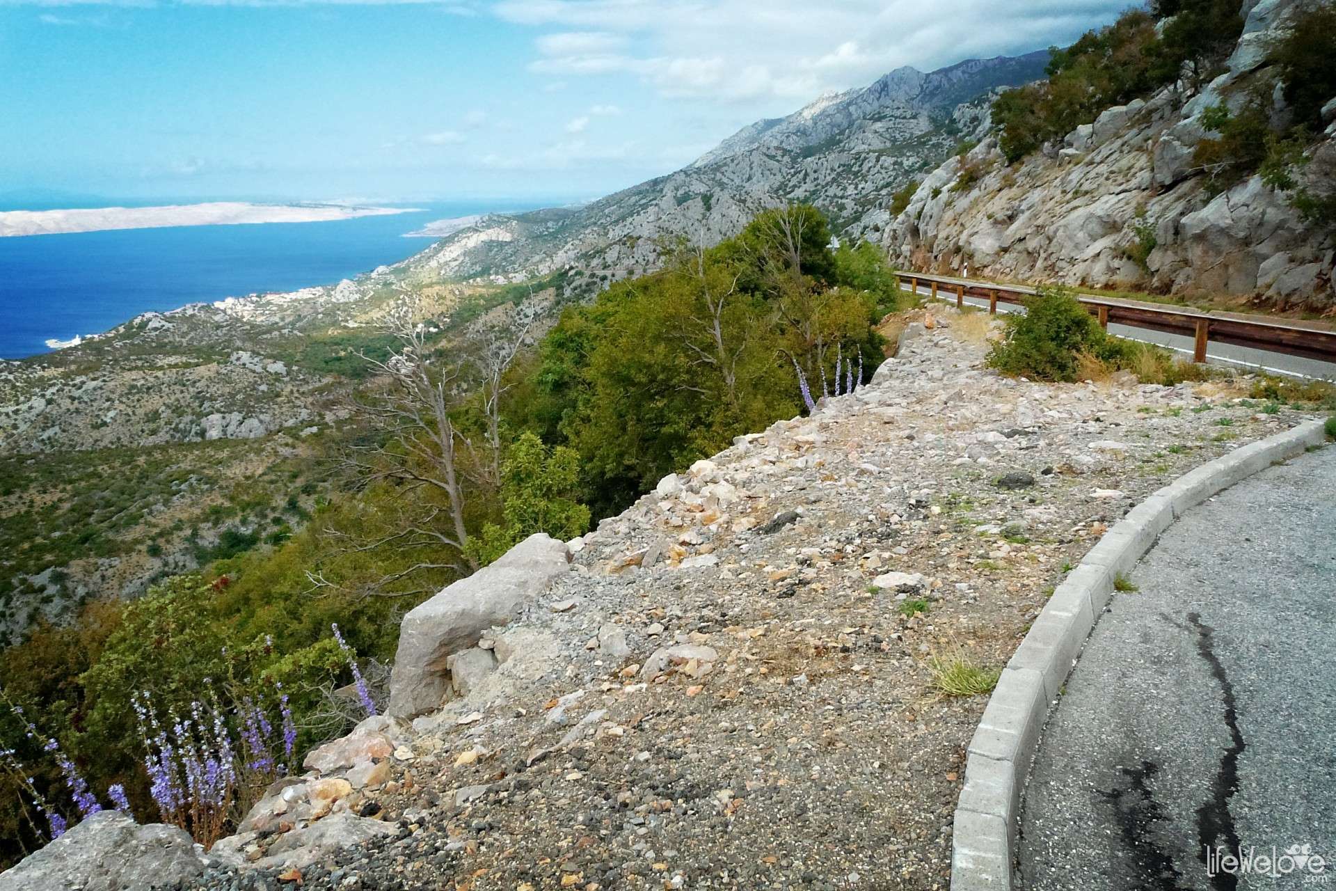
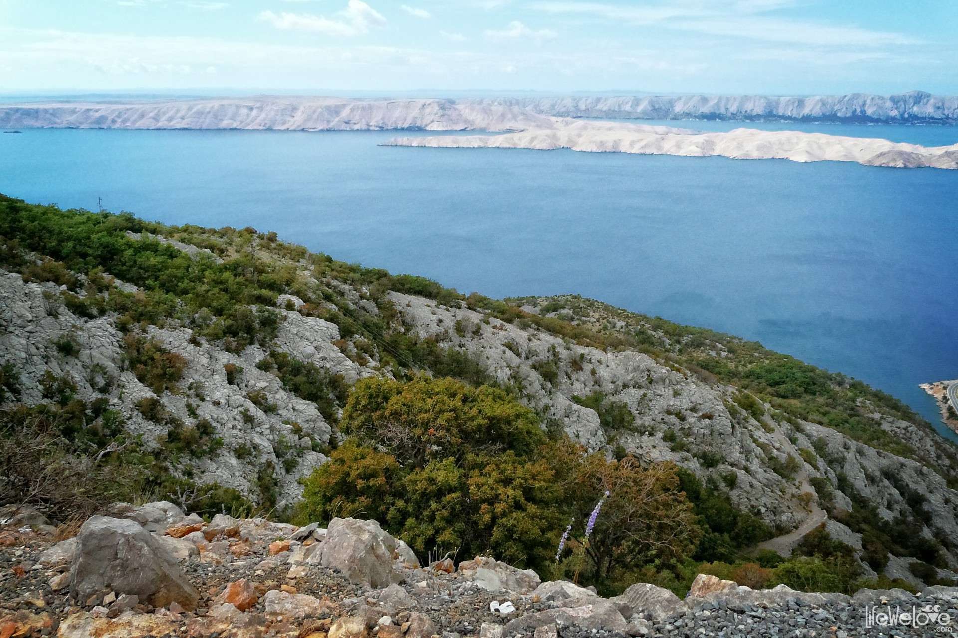
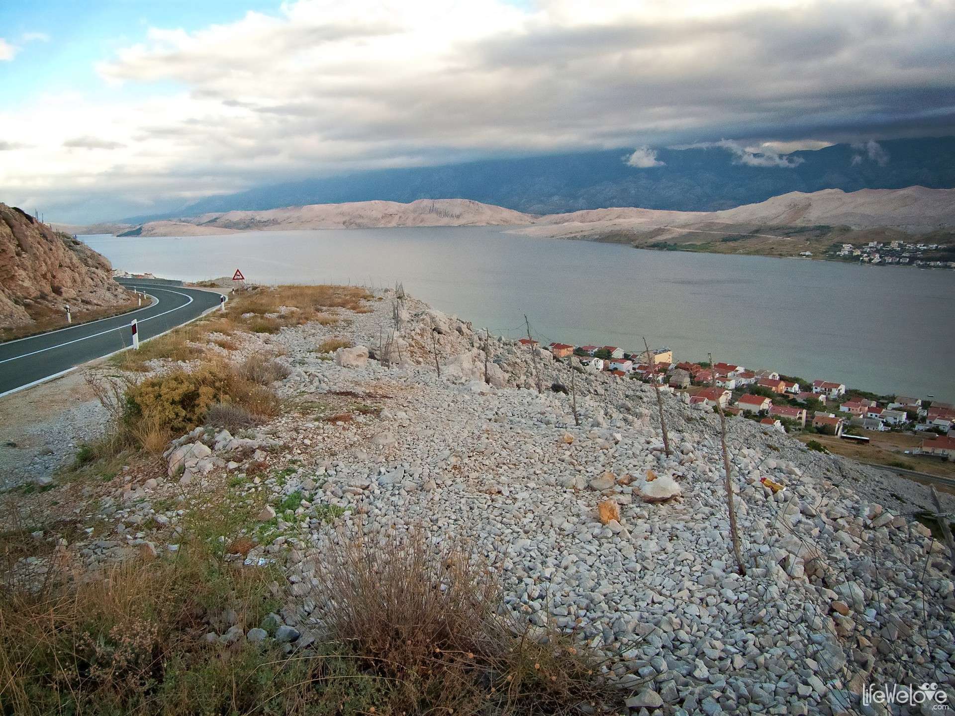
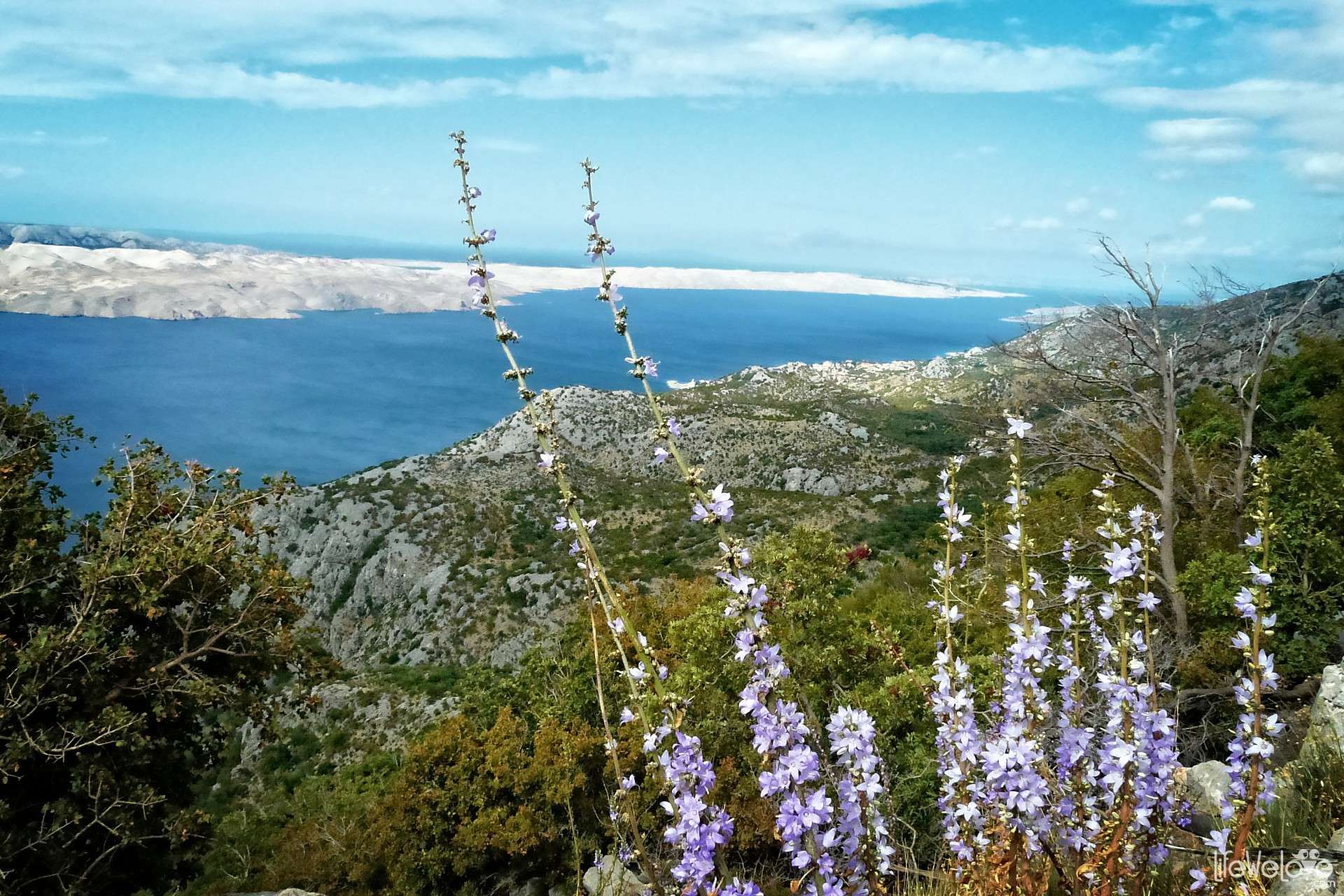
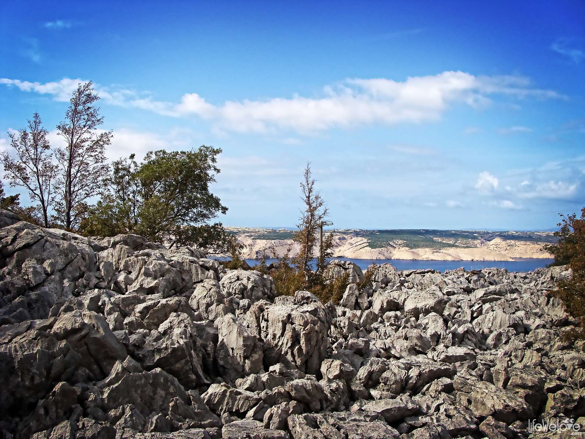
What attracts tourists to Pag is its unusual, lunar landscape and beautiful beaches, which belong to the cleanest beaches of the Adriatic. Also the atmosphere of Pag, its specific cuisine and cultural monuments are great values of this place. Pag Island Cheese is proclaimed one of the best cheeses in the world. It owes its taste to the local flora, consumed by sheep: fennel, thyme and very aromatic sage. The island of Pag is also famous for salt production and manufacture of lace. The regional lacy art has been inscribed on the UNESCO World Heritage List as intangible heritage.

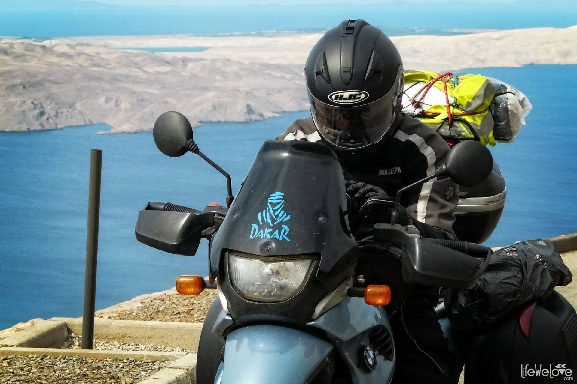
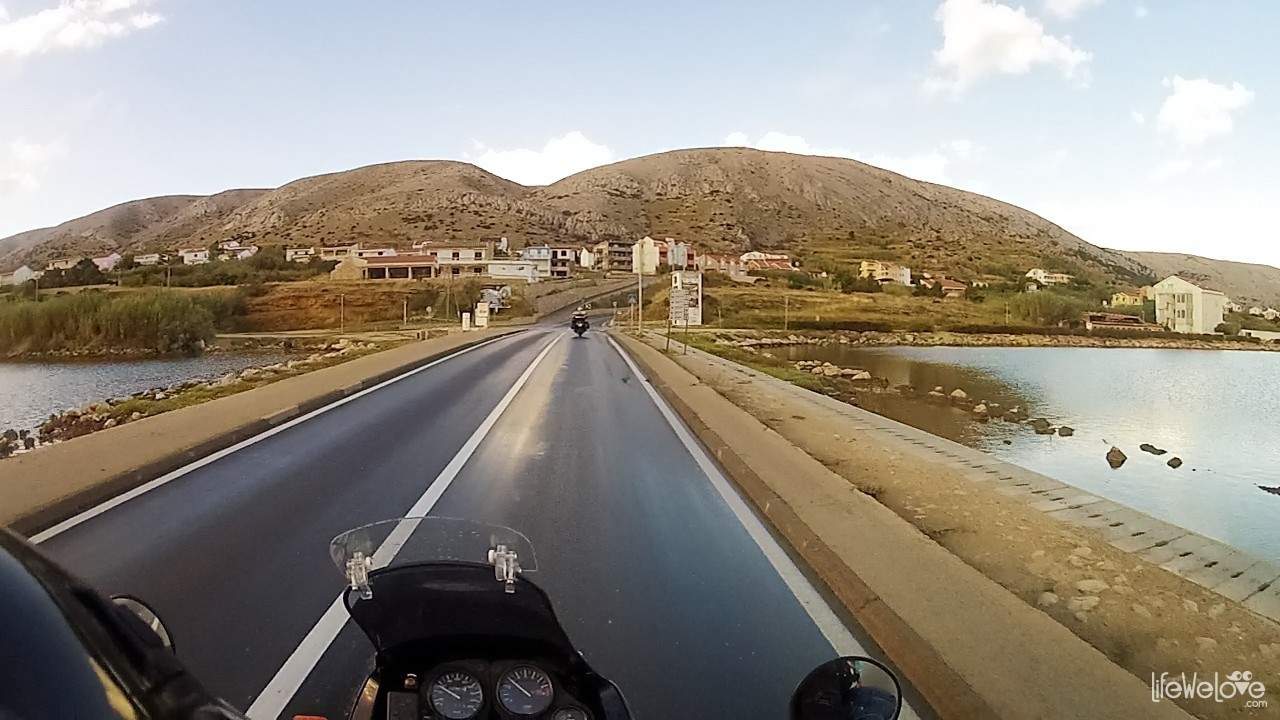
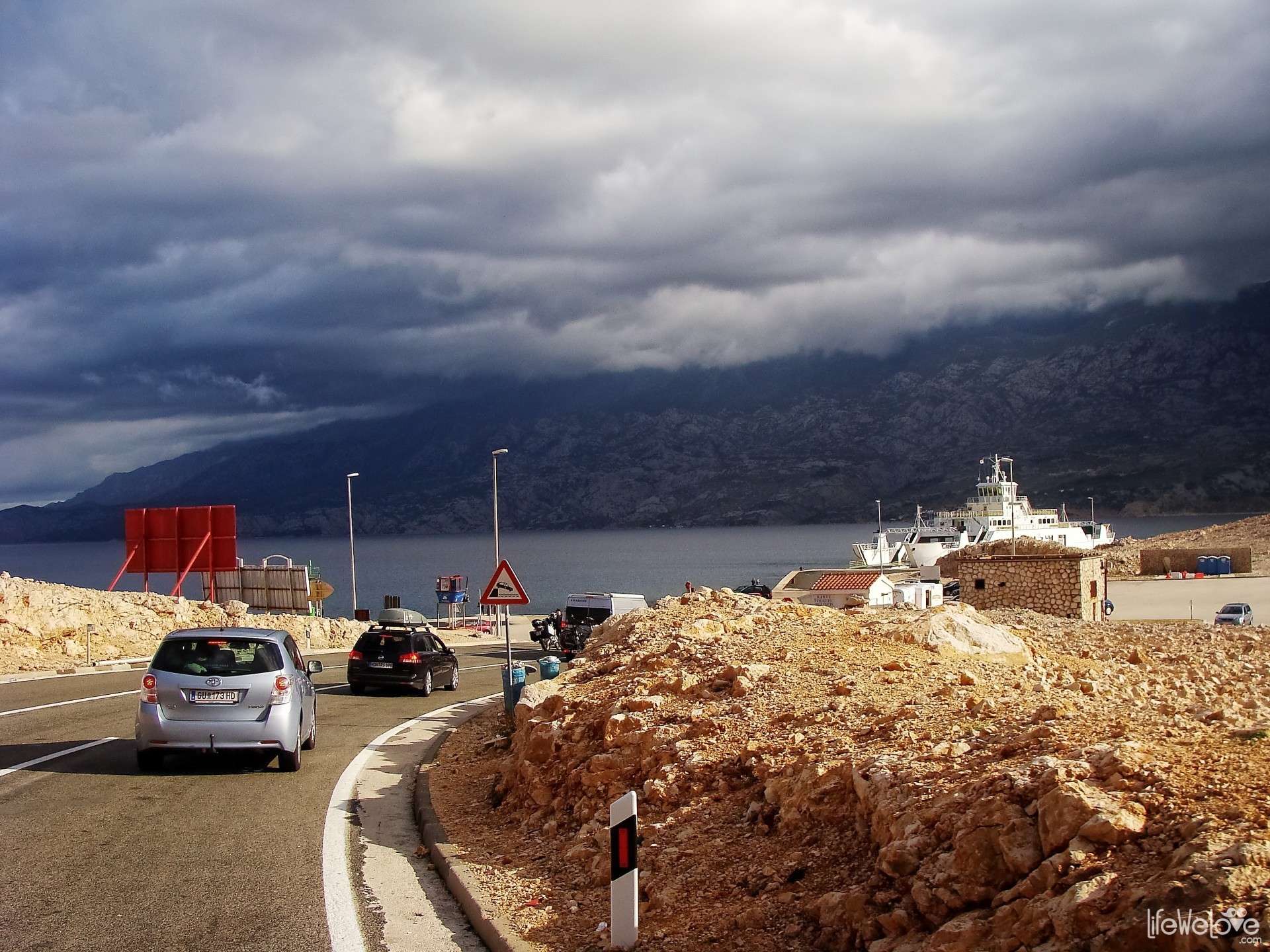
Pag is the fifth largest island in Croatia and has the longest, 300-km coastline. You can enter it from the south, through 300-m bridge for free or by ferry that goes from the village Prizna to the north-east of the island. Ferry sails about 20 minutes and costs 17 kunas per person and 30 kn per motorcycle. Current pricing and schedule of the ferries can be found here »
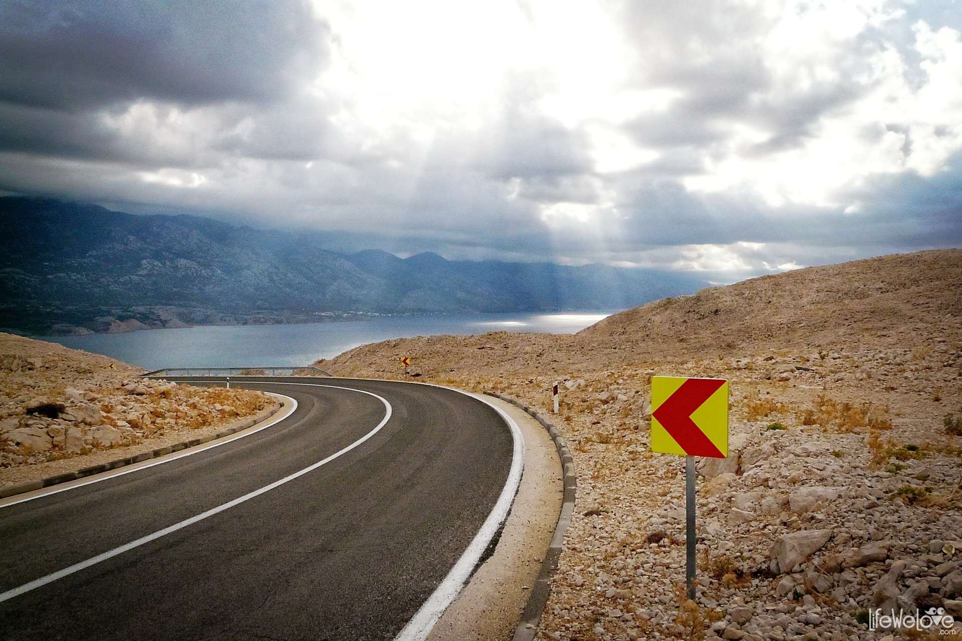
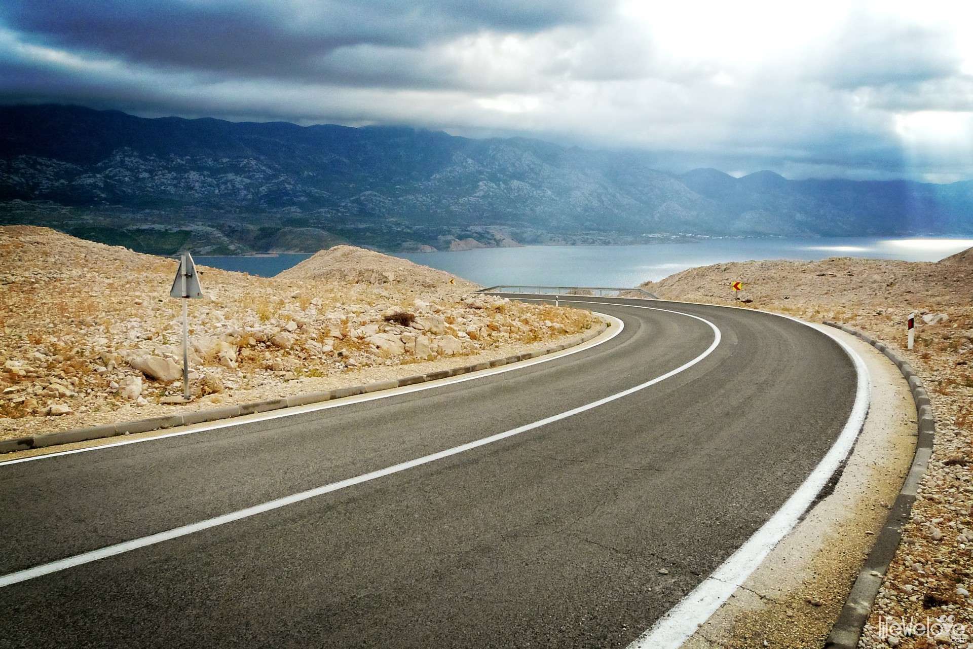
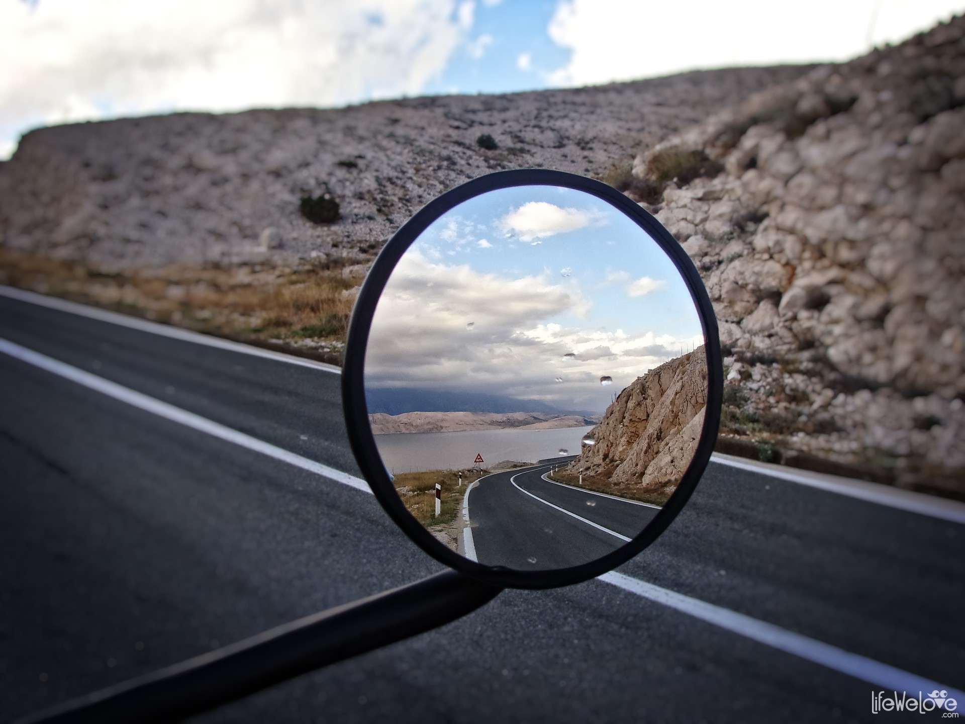
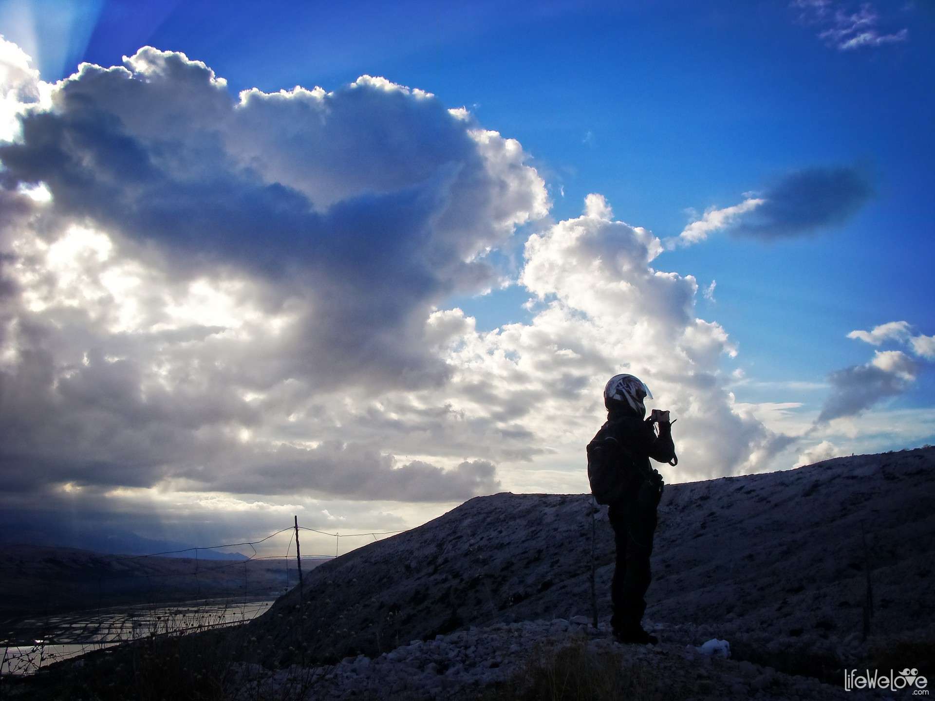
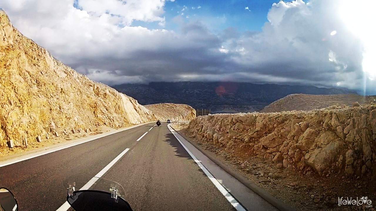
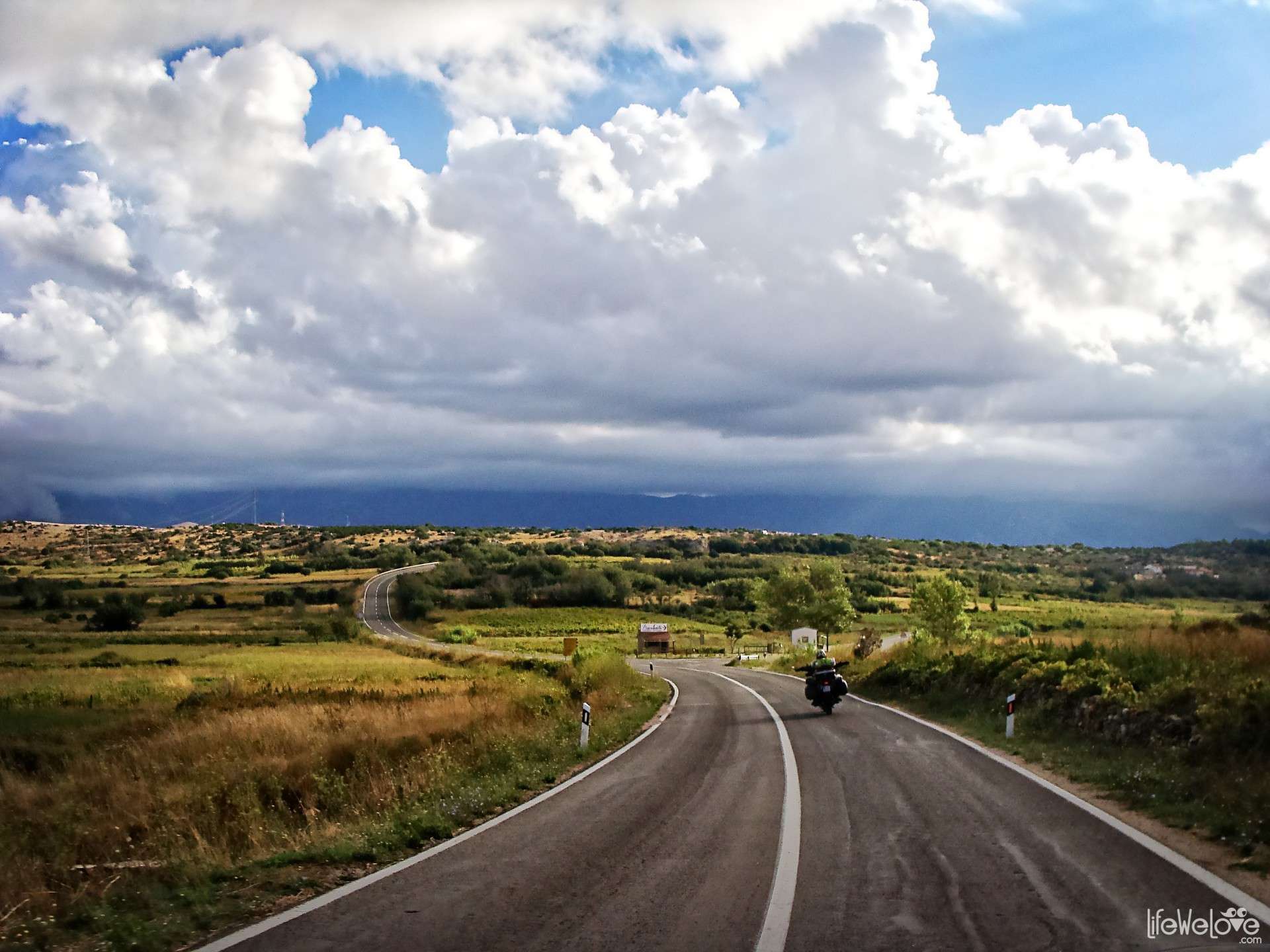
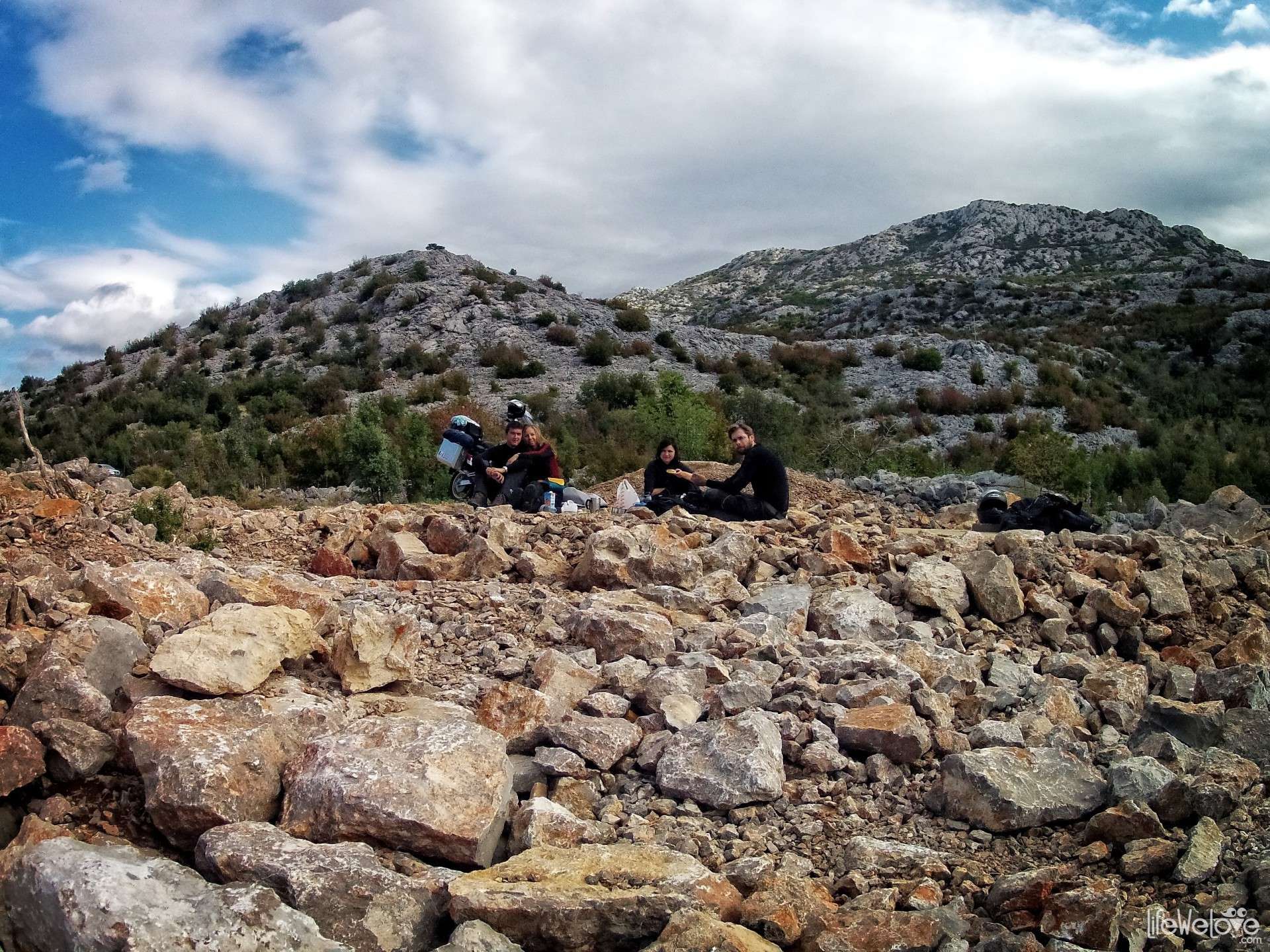
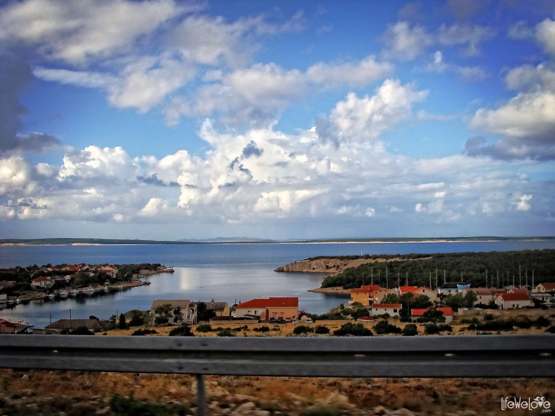
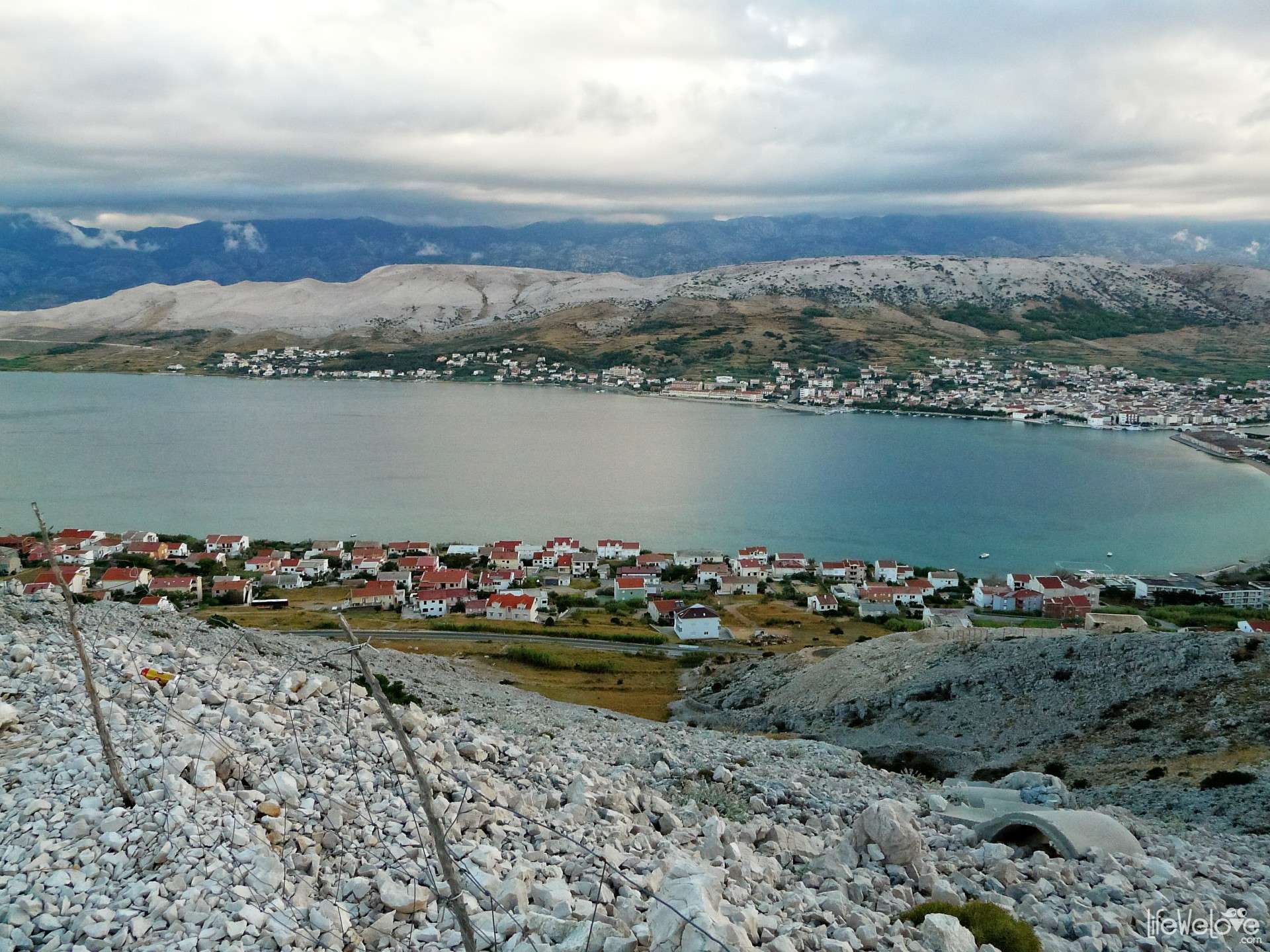
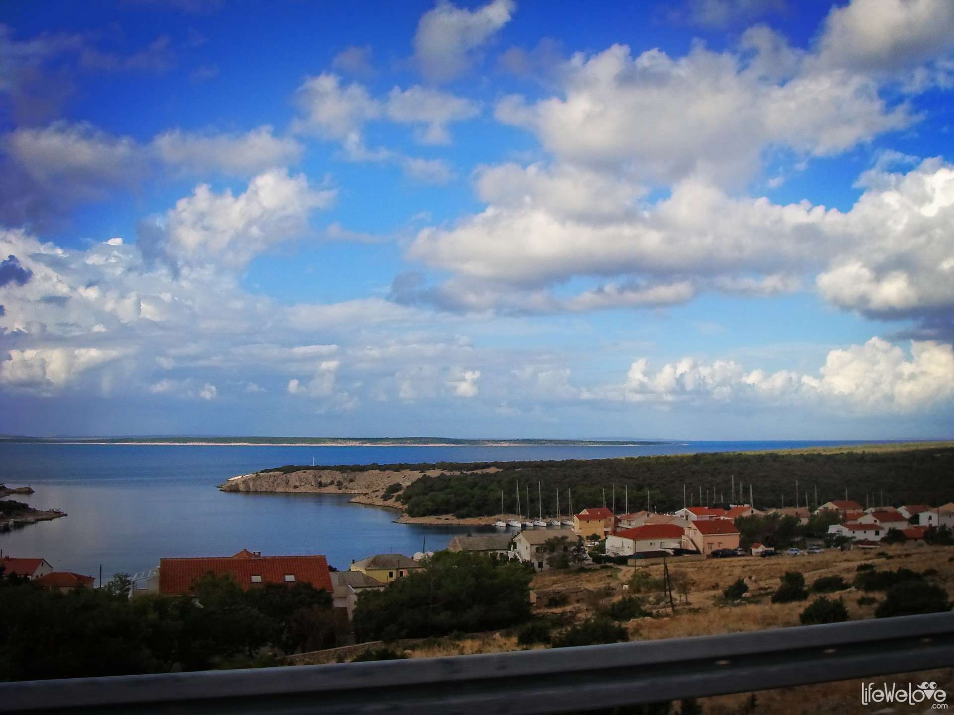
The route from the bridge to the ferry is 50-km long with a fabulous landscape all the way and leads through the town of Pag. Unfortunately, during our Balkan trip in 2013, we didn’t have time to delve into it and experience the full charm of this place, being chased by the coming end of vacation. We took the route from the bridge to the ferry.
Feel free to watch the video of the route:


View the entire gallery of Croatia »
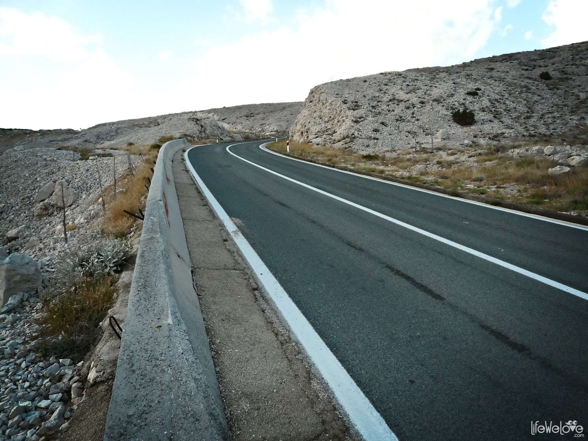
Info about a route on Pag island:
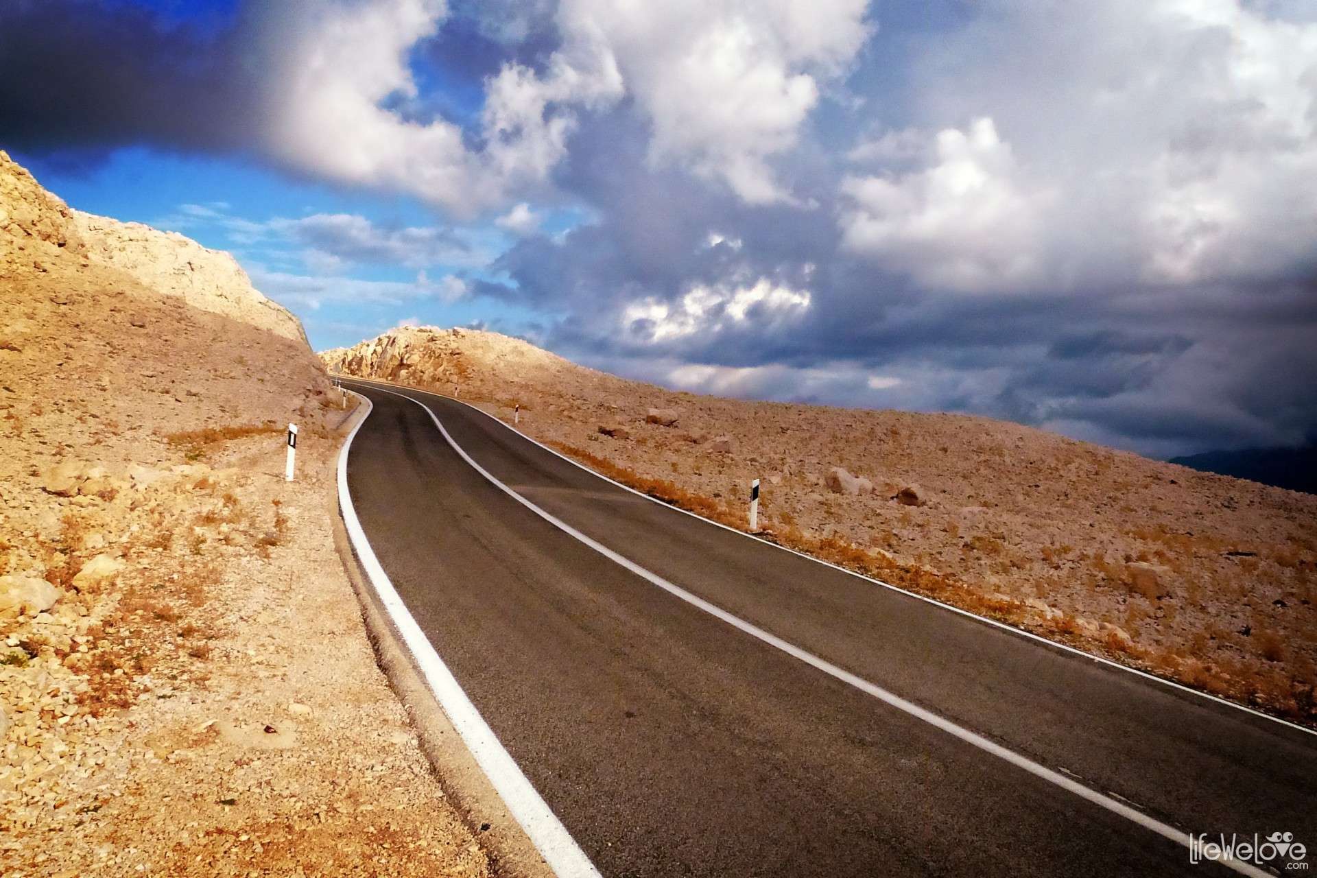
| Distance | 52 km |
| Start / end | Paski Most – Žigljen |
| Surface | Very good quality asphalt |
| Hazards | N/A |
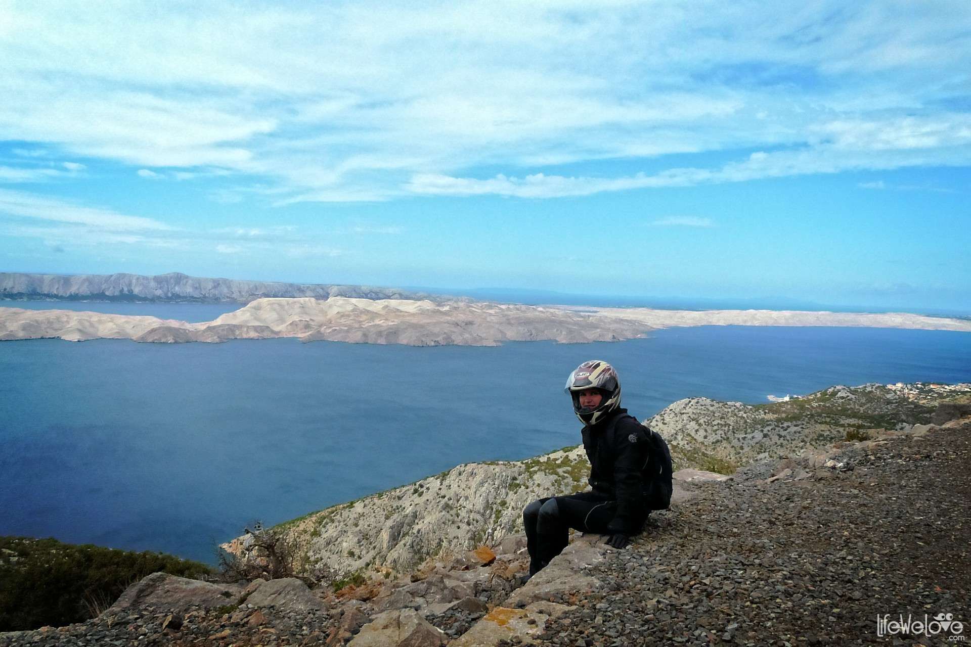
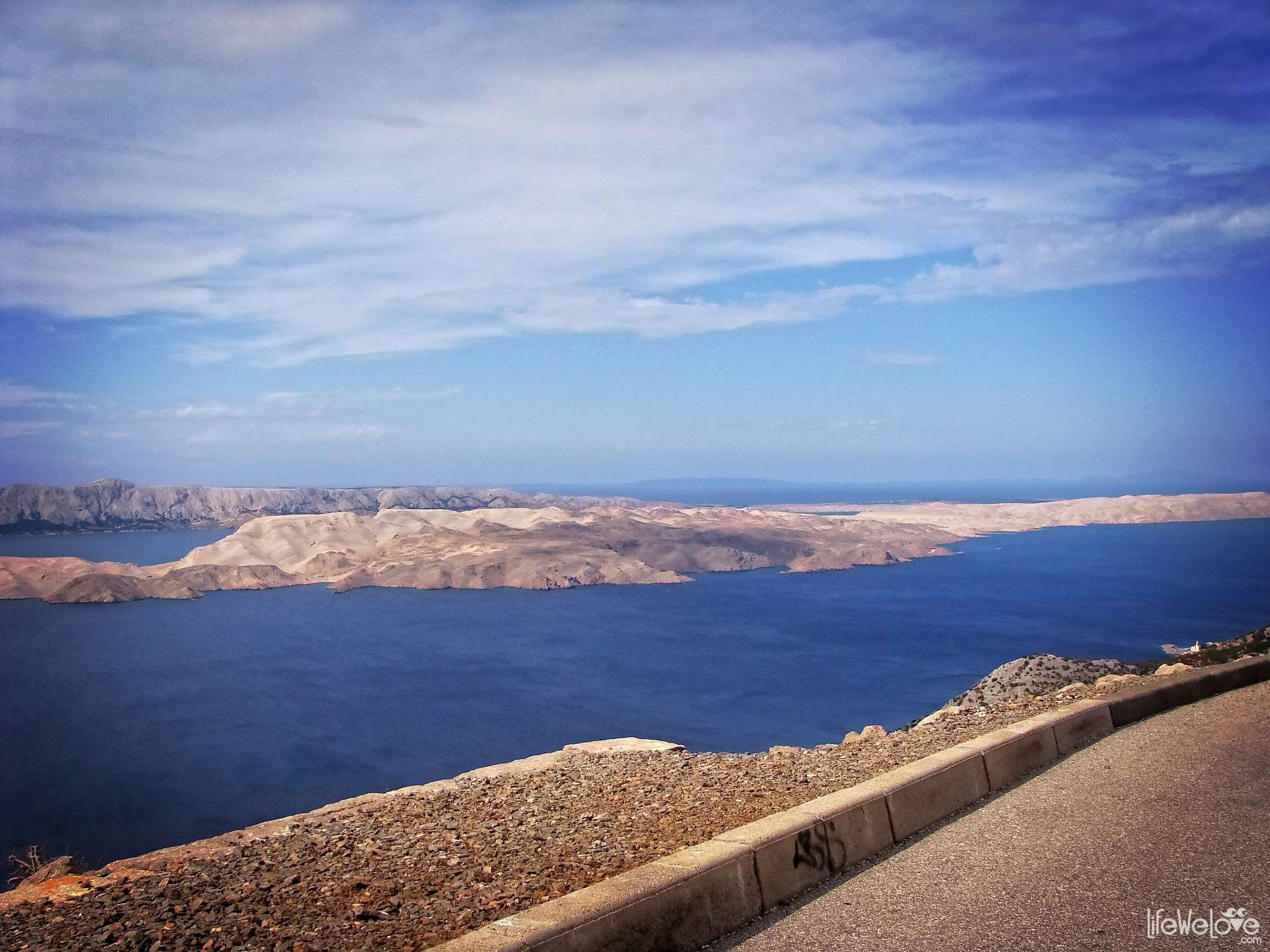
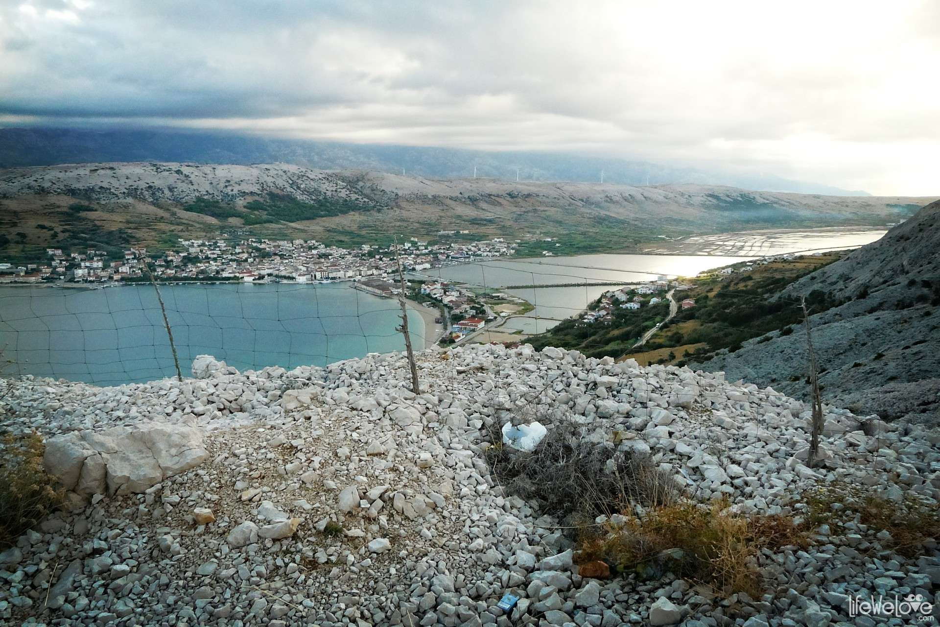
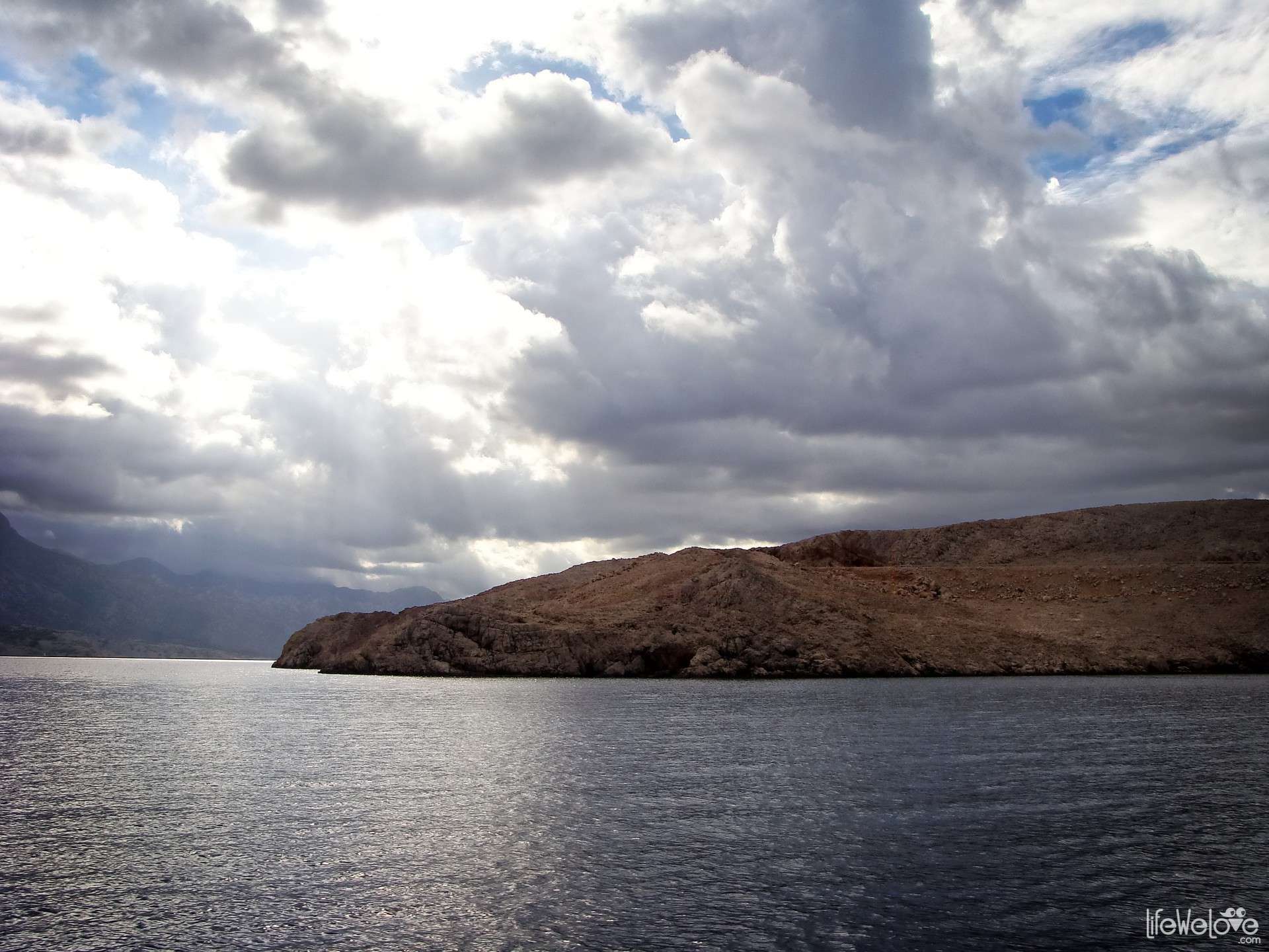
| Attractions on the way | Pag town, quiet sandy beaches in the bays, lunar landscape of the island |
| Maximum altitude | 169 m a.s.l. |
2 10

Ruben
Looks fantastic! Nice video.