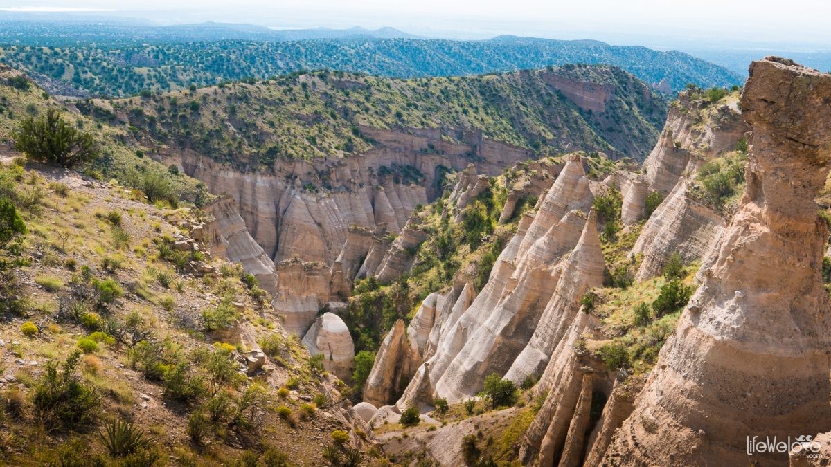
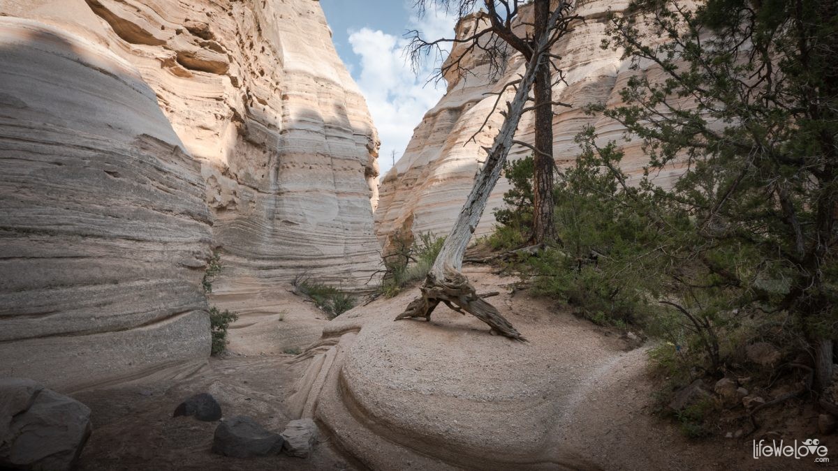
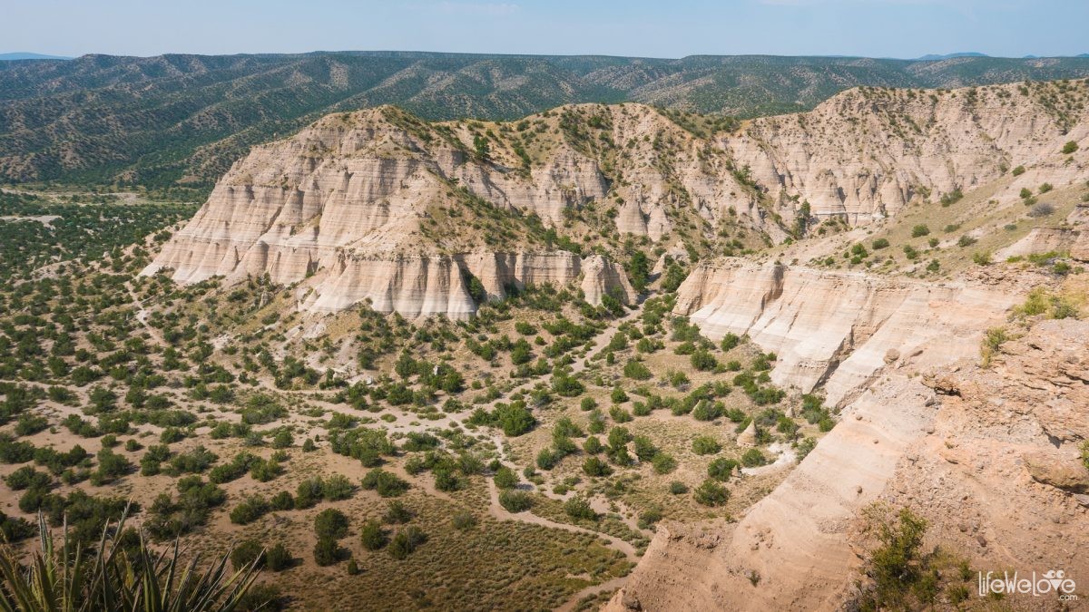
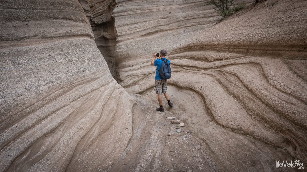
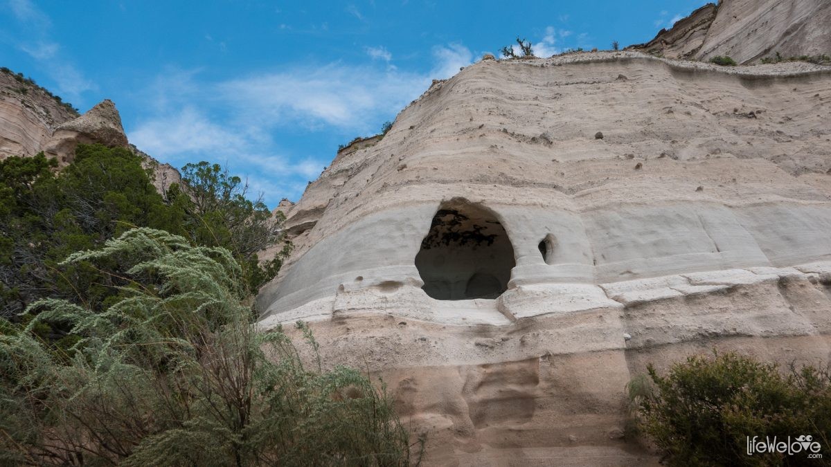
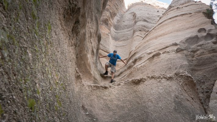
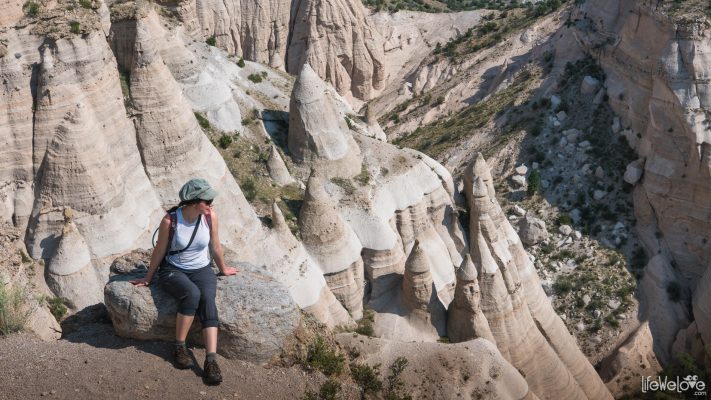
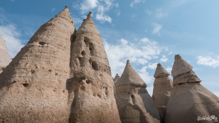
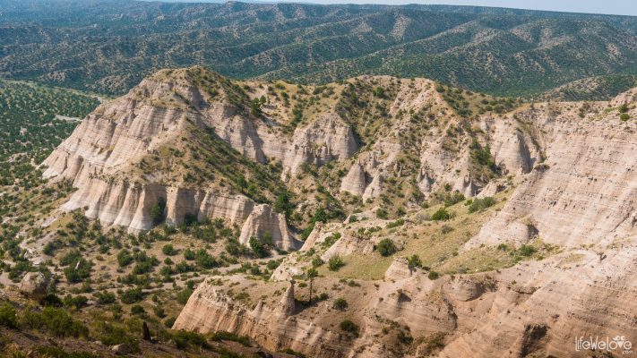
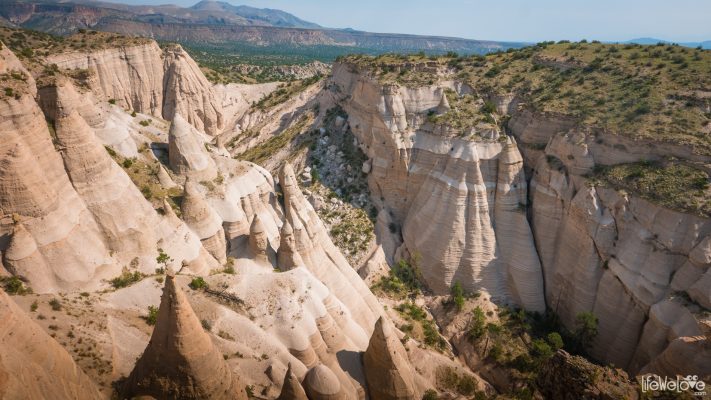
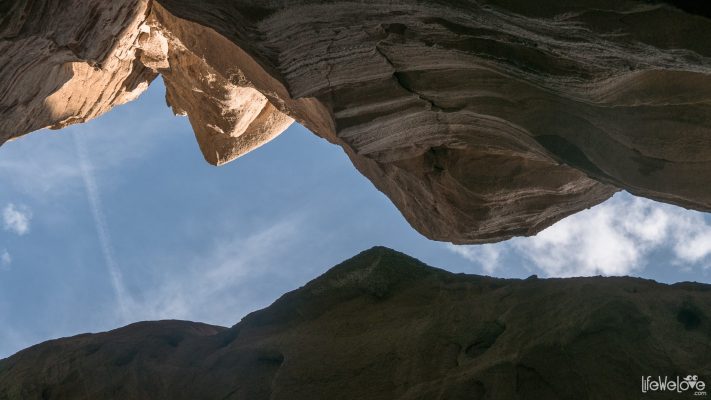
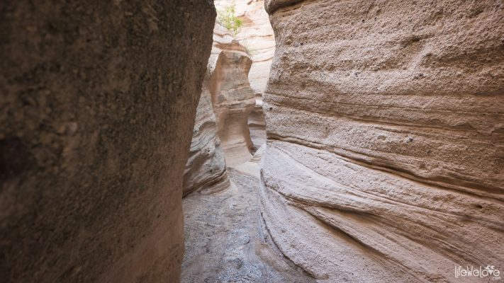
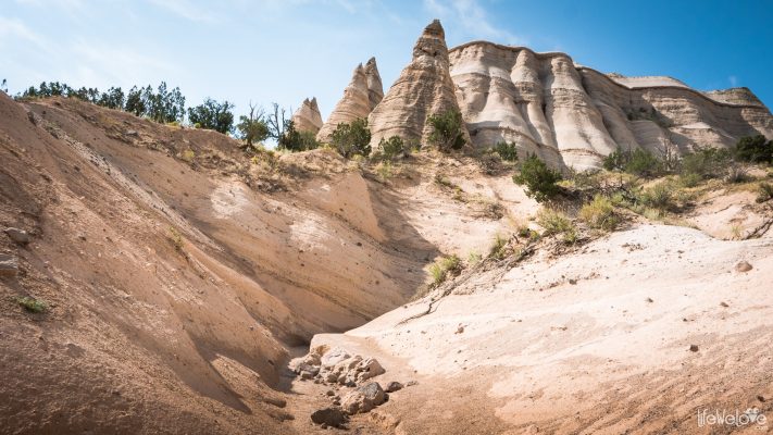
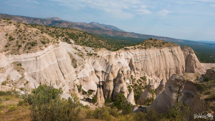
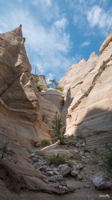
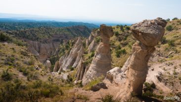
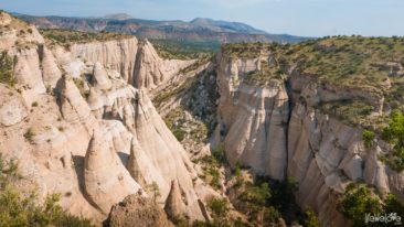
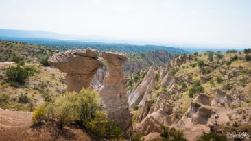
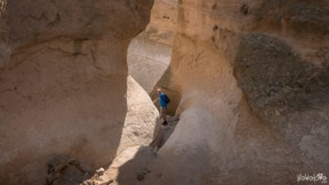
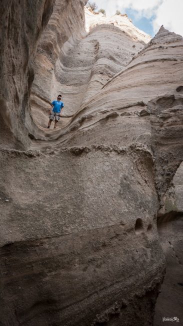
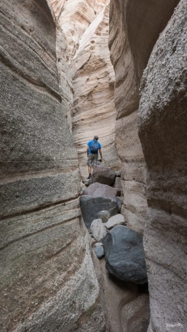
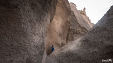
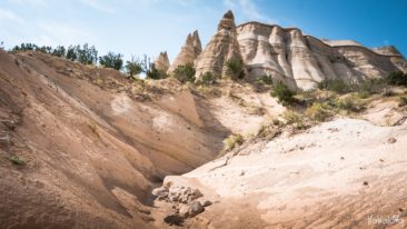
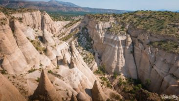
Kasha-Katuwe National Monument in New Mexico is another nice surprise for us in this area. It’s not a very known place, but has been recently gaining more popularity along with development of the park’s infrastructure. To experience its beauty, we need to leave our vehicles and make about 3 – mile hike. The Slot Canyon Trail leads through a narrow gorge to the top of the mesa and rewards with an awe-inspiring scenery of pink-and-white cone-shaped rock formations, surrounded by the Rio Grande Valley and the Sangre de Cristo, Jemez and Sandia Mountains.
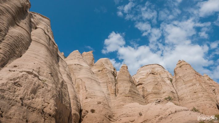
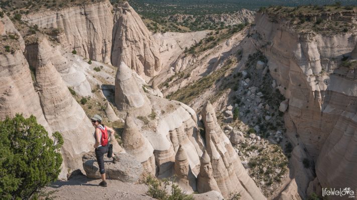
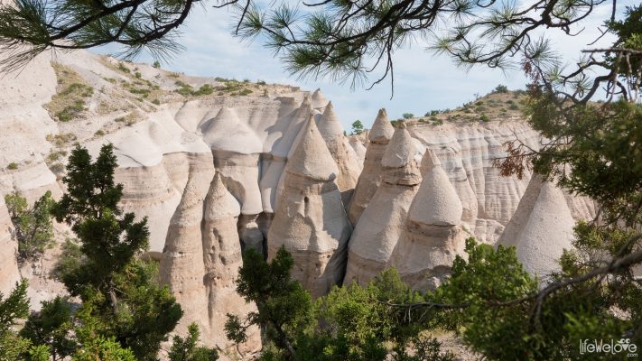
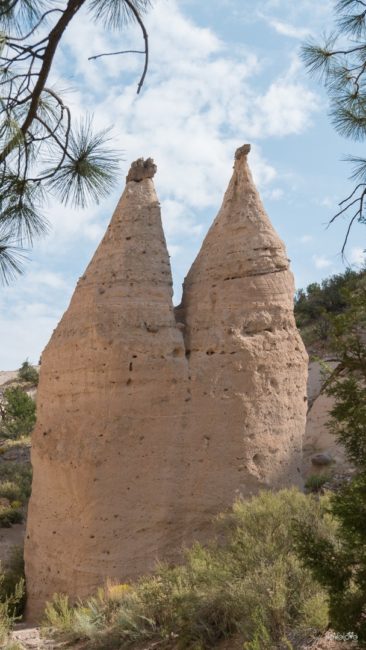
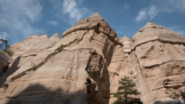
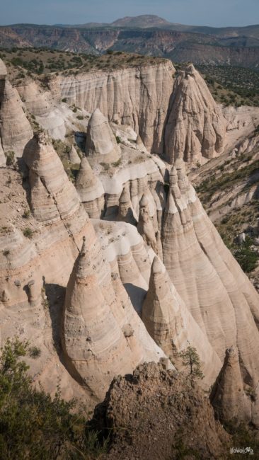
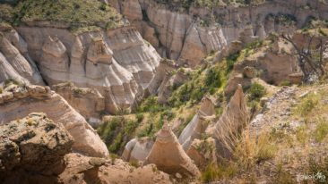
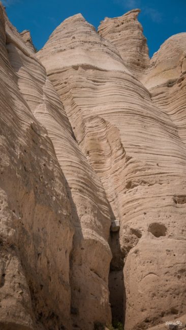
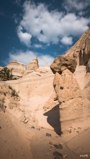
The South of New Mexico used to be inhabited by Cochiti Pueblo tribes. “Kasha-Katuwe” in their language means “white cliffs”. Today the name Tent Rocks is also in use. Cone-shaped formations take their origins from volcanic eruptions from 7 mln years ago that left thick layers of pumice, ash and tuff. Then, as a result of erosion, they took the shape of a spire with a pointed cap. The cap is made of sandstone which is more resistant to erosion than the lower layers of the cone.
In addition to tuff, the volcanic eruptions’ residue in these sites are pieces of obsidian: translucent, brown-black, volcanic glass, locally also known as Apache Tears. You can see the dark mineral here and there on the cliffs, especially in the river valley, but sampling is forbidden.
You have 2 options for the hike:
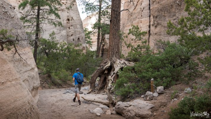
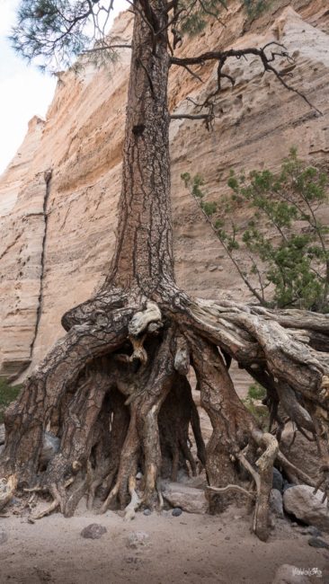
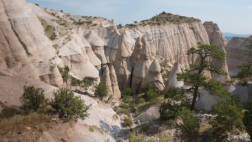
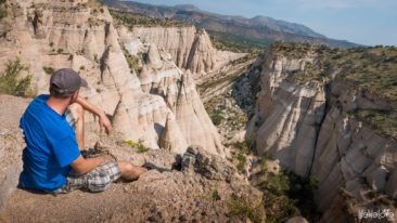
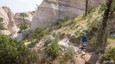
- Canyon Trail: 4.8 km (3 miles), to the top of mesa and back, with the Slot Canyon on the way and amazingly exposed root systems of ponderosa pines, typical desert flora and fauna; prepare for a climb at the end with 200 m (630 feet) elevation gain and an amazing view at the end with the panorama of Tent Rocks, in different tones of pink and beige, striped, sometimes with little windows, a fairy tale kingdom alike.
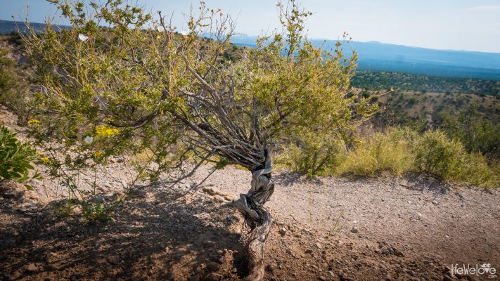
- Cave Loop Trail: 1.9 km (1.2 mile), no steep paths, it’s an easy walk to the cave of Native Americans, along the way you can admire interesting species of cactus, including “jumping” cholla with pink flower or yellow fruit and prickly pear.
If you set off early morning, before the heat wave, the hike is very pleasant and quite easy. We started about 9 am and made both trails at once.
Information about the Kasha-Katuwe Tent Rocks National Monument prices of entry, hours of opening and maps of the trails can be found here.
|
Quick tip Nearby, just a few kilometers from the Monument, you can find nice and cheap campgrounds by Lake Cotichi. You can leave your tent and some stuff on the campground and make a trip to the Tent Rocks. At the destination you can use the empty bag on a motorcycle to put your gear and hike comfortably in a sportswear. Obviously be equipped with a camel bag or bottles filled with water. |
See the full photo gallery of Tent Rocks
loading map - please wait...
| Cone-shaped rock formations Kasha-Katuwe Tent Rocks Jemez Springs New Mexico, Stany Zjednoczone Ameryki | |
24



Jerzy Werner
Byłem, jeden z najmłodszych National Monuments, chyba podniesiony do tej rangi przez Clintona, a Bandalier????
Lifewelove
W Bandalier też byliśmy, piękne miejsca.
Jerzy Werner
Najgorsze że kilka dni później skradziono mi aparat i zachowało się tylko kilka zdjęć które wysłałem mailem, chyba trzeba jeszcze raz……?
Lifewelove
Dokładnie, warto powtórzyć! :)
Diana Milewska
Niesamowite, jakie Ziemia ma bajecznie fantazyjne formy…