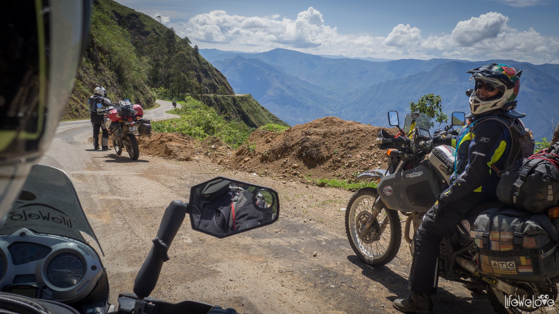
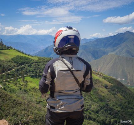
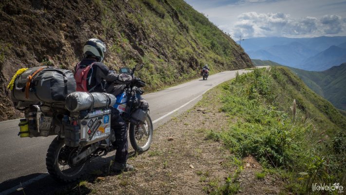
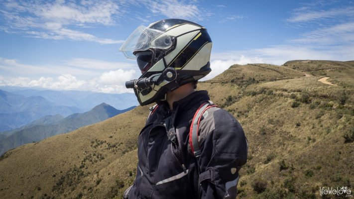
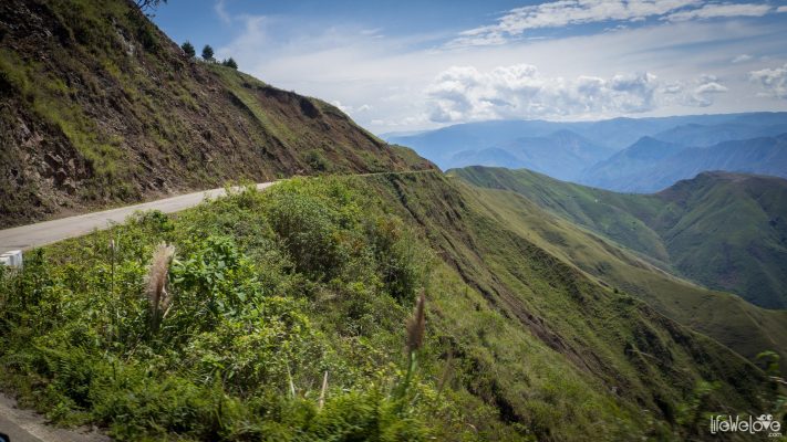
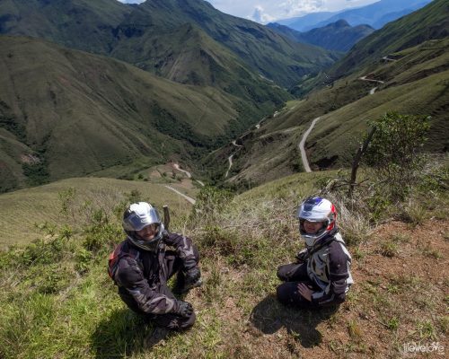
It was one of these routes in Peru, when we exclaimed WOW not once, not twice, but a dozen times on a 330 km stretch from Chachapoyas to Cajamarca. Since the time of exploring the Alps, roads in Colorado and White Rim Road in Utah, no route has ever made such a huge impression on us. We stopped every 5 or 10 minutes to take photos until it was even too late to get to Cajamarca.
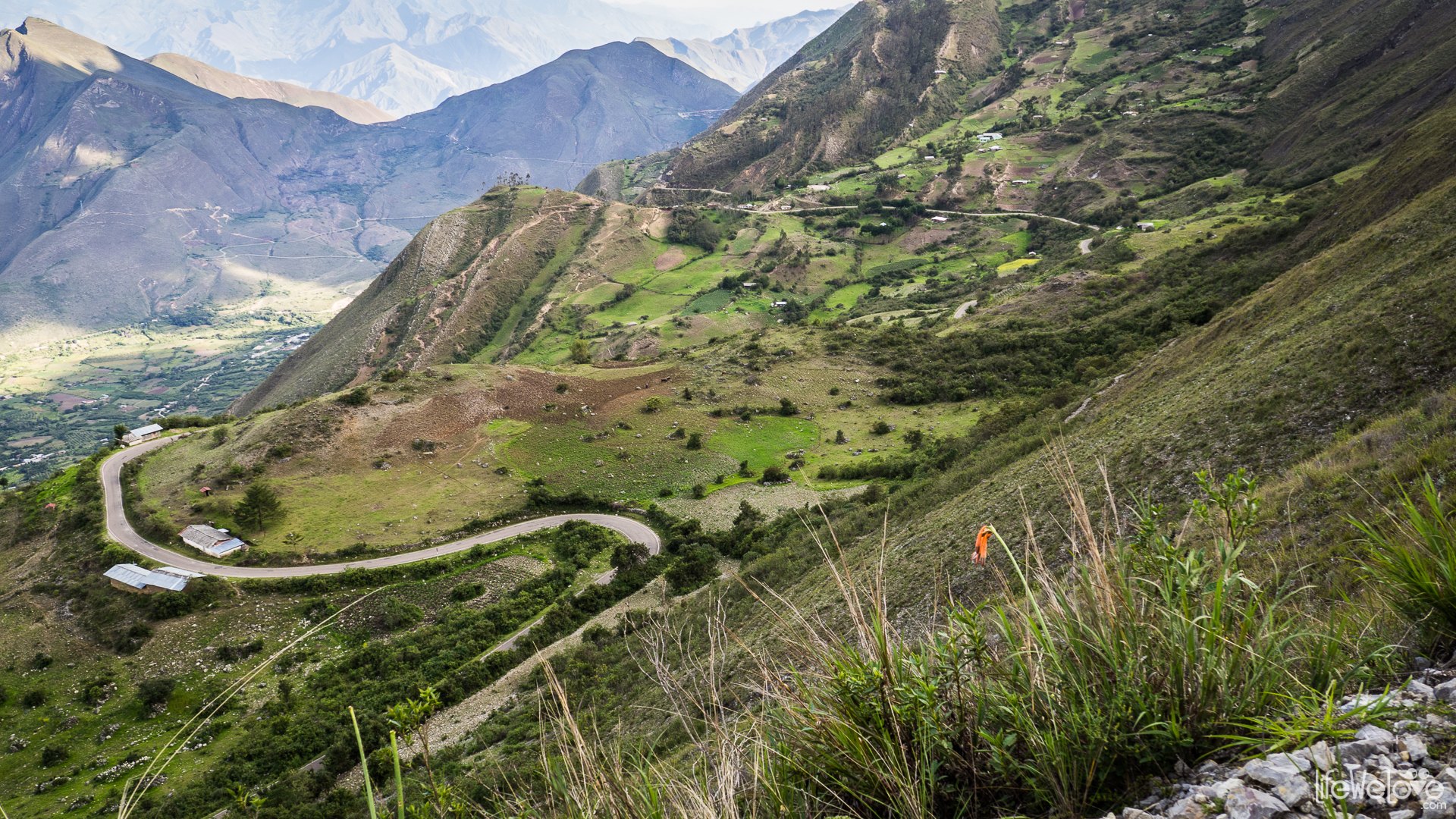
From Chachapoyas (2 335 m a. s. l.) the road leads through a narrow serpentine to Tingo. From there you can get to the Fortaleza de Kuelap, a fortress from the 6th century built by the Chachapoyas culture.
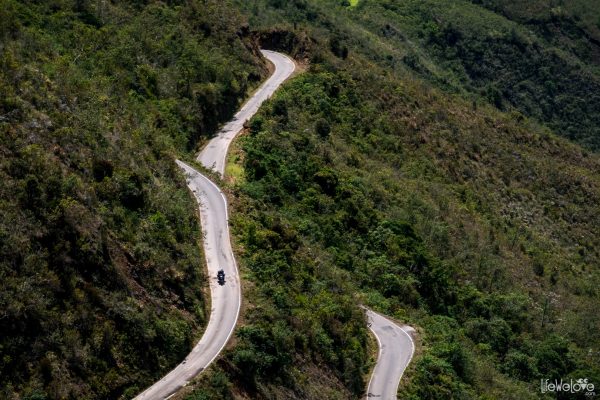
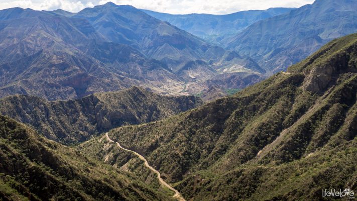
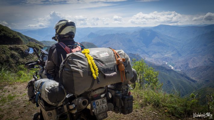
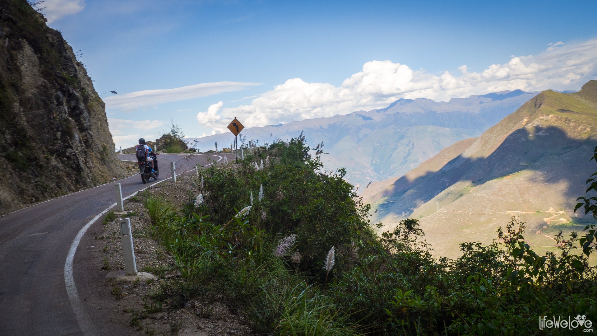
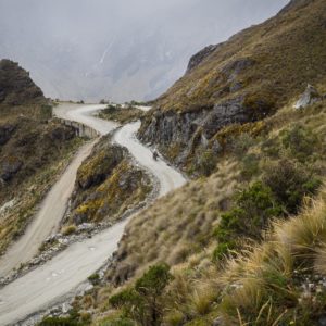
Further, the route runs through the Utcubamba River valley, among the overgrown hills to the village of Leymebamba, where spectacular views begin. The winding, narrow road climbs higher and higher, opening more and more views and reaches its zenith on the Abra de Barro Negro Pass (Black Mud Pass) at an altitude of 3 678 m a.s.l. From there, for three kilometers down we can admire a view of the Maranon River.
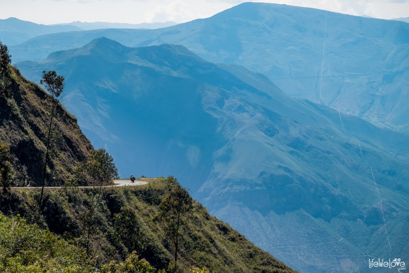
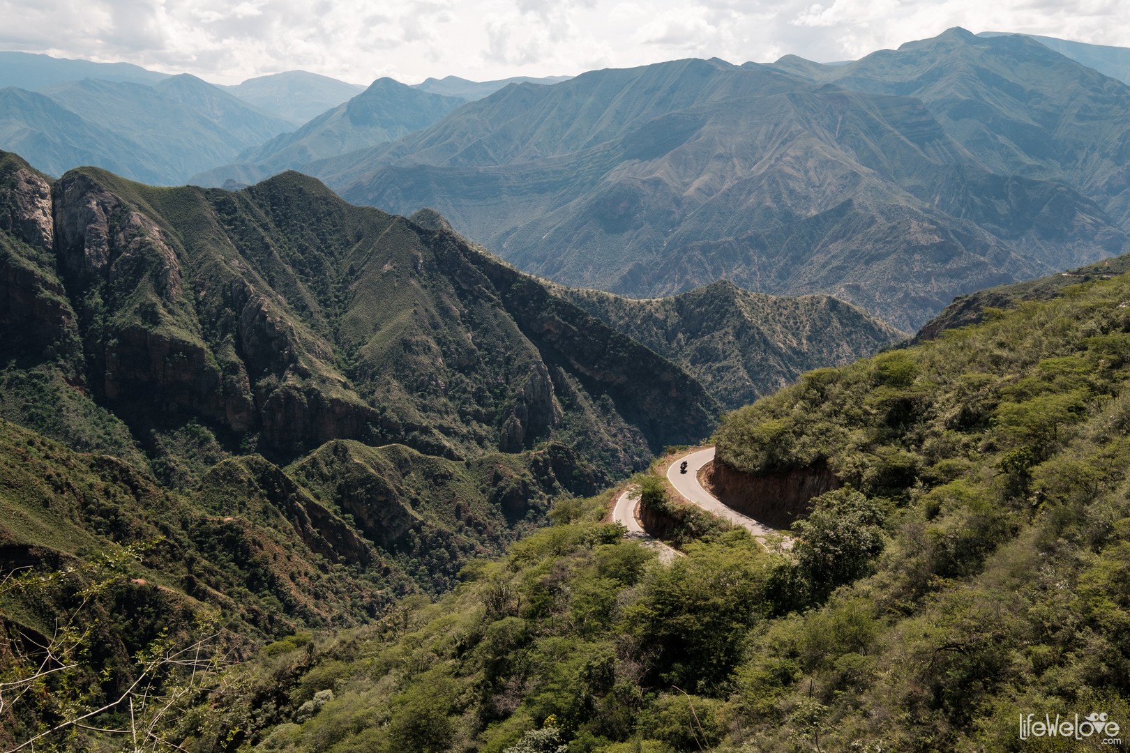
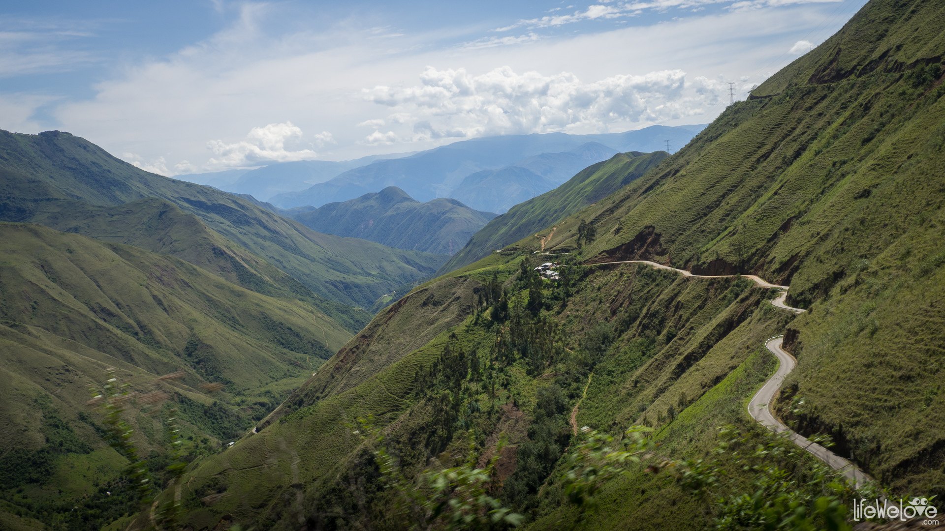
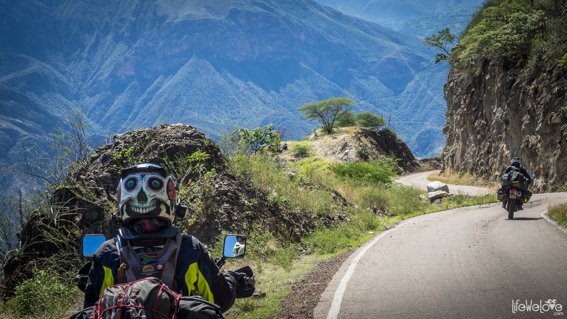
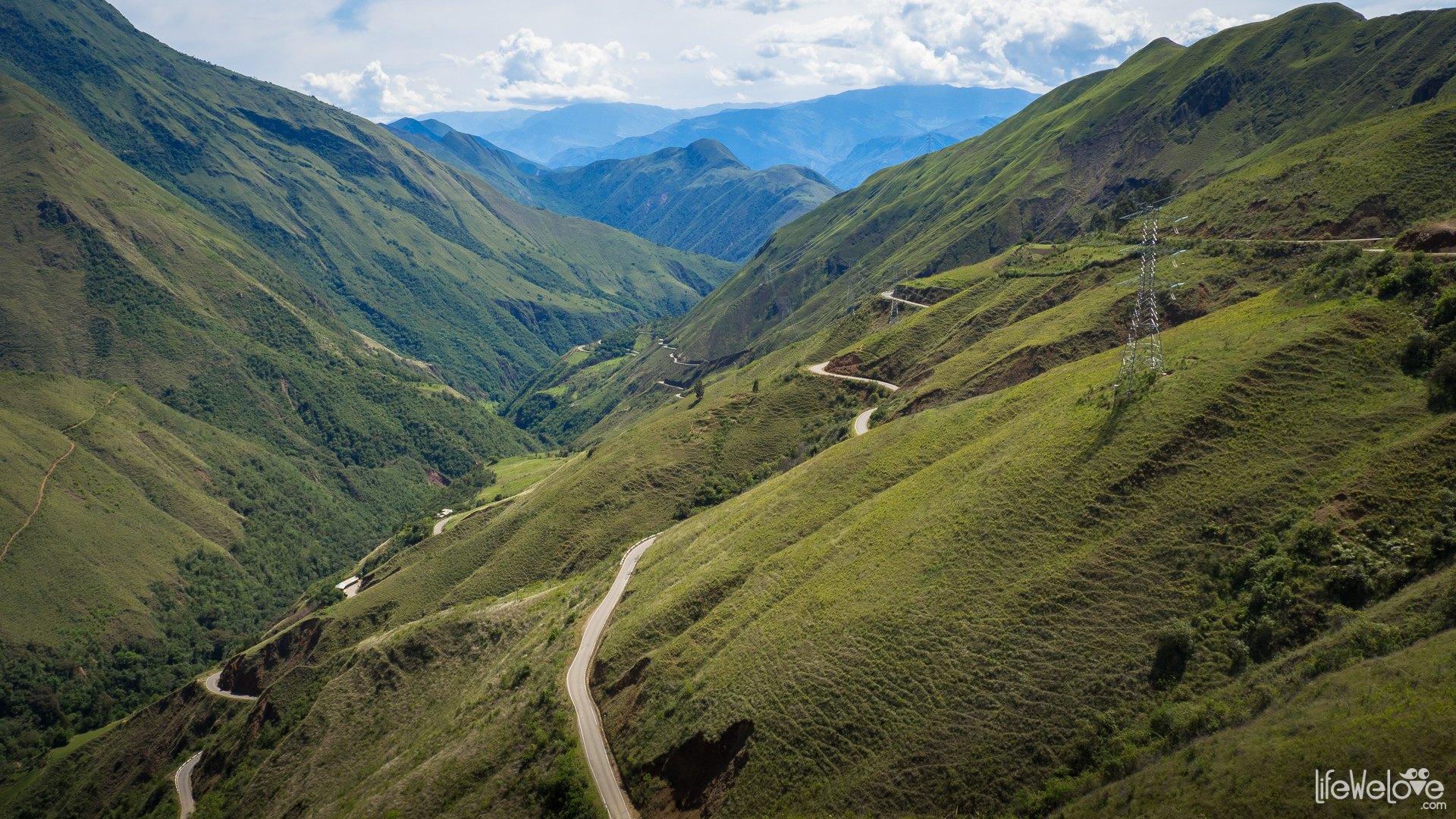
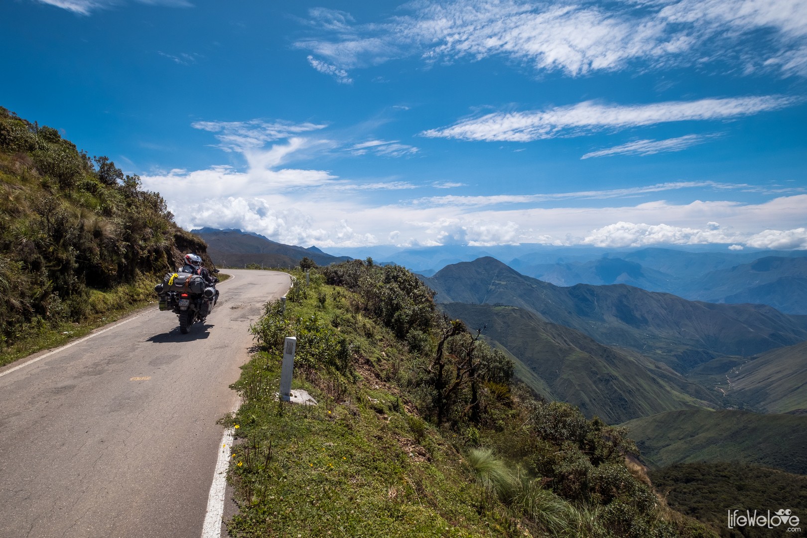
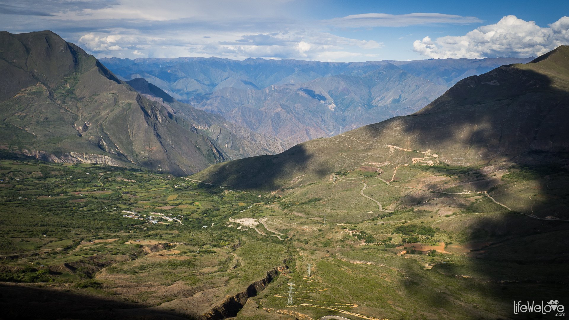
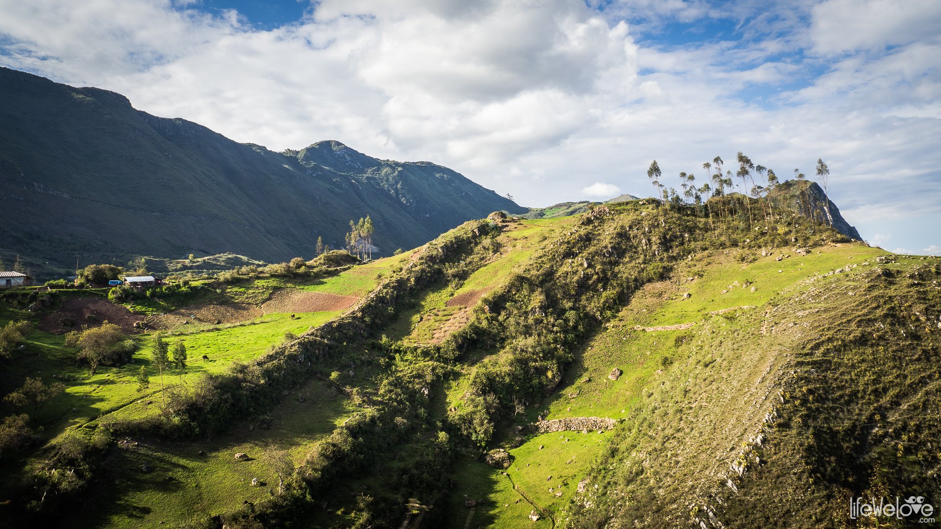
From the high pass the road descends to the town of Balsas located almost three thousand meters below and there it starts to get very hot. Then again, the route climbs up to 3 085 m above sea level surrounded by mountains enveloped in thousands shades of green up to the town of Celedin and further to Cajamarca, where we finish this fabulous ride at an altitude of 2 750 m.
The idyllic atmosphere is disrupted by the presence of Peruvian drivers. They drive aggressively and frequently cut corners. Even the police does it. The winding, narrow road, precipices, crazy drivers create route that I can safely call a death route. More than once, we have seen crosses on such roads, victims of accidents. It is strongly advised to use horns before and on the corners.
Info about the route from Chachapoyas to Cajamarca
| Distance | 330 km |
| Start / finish | Chachapoyas / Cajamarca |
| Surface | Asphalt of various quality |
| Accessibility | Open all year |
| Hazards | Narrow road over precipices without security, tight, steep turns, dangerous drivers |
| Traffic | Small |
| Attractions on the way | Views, Fortaleza de Kuelap |
| Maximum altitude | 3 678 m above sea level |
| Travel time | About 8-10 hours. If you won't finish the entire route, you can find good accommodation in Celendin with a safe garage. |
loading map - please wait...
| The road from Chachapoyas to Cajamarca (Peru) Celedín Cajamarca, Peru | |






Richard
Simply stunning! Fantastic adventure
Athir Nuaimi
Agree with your comments. Did the route last week and it was one of the most crazy and challenging I’ve ever done
Joki
Did you have good weather? We had fog and some rain.
anuaimi
No, thank goodness. I got a few days of rain from Cajamarca to Huaraz. The roads were rough at times but thankfully the rain never occurred on the roads with big drops.
Robert Woolford
How long did it take you? Did you overnight along the way?
Thanks!
Joki
Hi Robert,
it took us the whole day, because we took a lot of pictures. And we didn’t finish the whole route in one day. We slept in Celendin where you can find a few hotels.
Francisco
Can anybody advise on how to cross from Panama to Colombia?