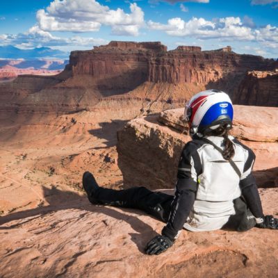
The western United States provide an abundance of places for adventurous ride on dual-sport motorcycles. Americans drive their vehicles everywhere: to work, for shopping and even to explore high mountains. It's not surprising that they have roads everywhere, even in places that may seem strange or impossible to access for Europeans. For example, riding across wild forests in national parks is quite common. Nobody's going to shoot anyone for that, give tickets or hang a rope between trees to hurt bad dirt bikers or quad drivers. It's not different in Moab, south-east Utah, which is considered to be an off-road capital, and where the epic White Rim Road is located, by many considered the best off-road in North America. For me, it was definitely the best route in the US. Its landscape makes every minute of the ride breathtaking and awe-inspiring!
See for yourself in the movie:
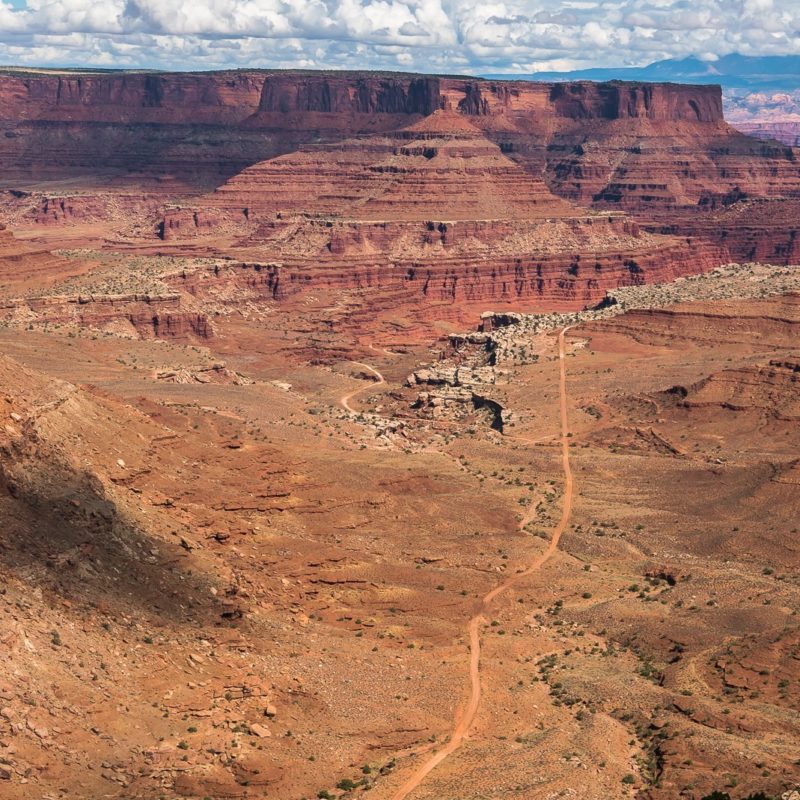
The White Rim Road is a 100 mile (160 km) loop in Canyonlands National Park around the Island in the Sky District between the Colorado River and the Green River. It was built in the 50s to enable access to uranium extracted in the region during the Cold War.
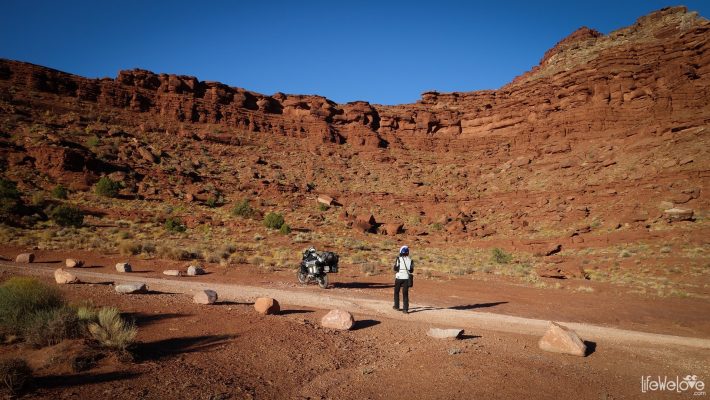
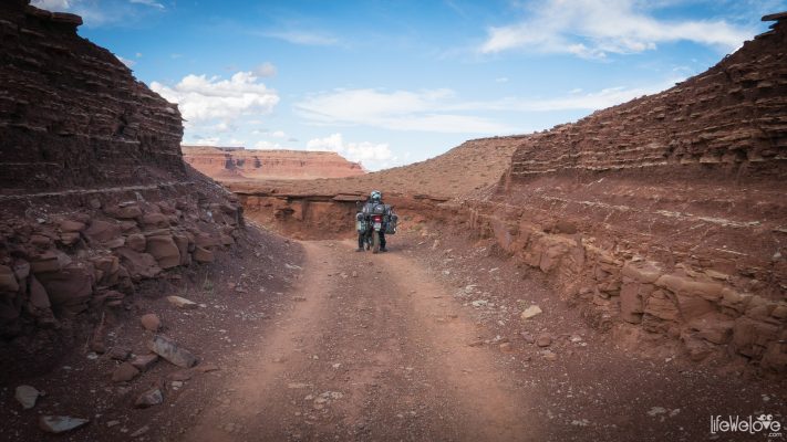
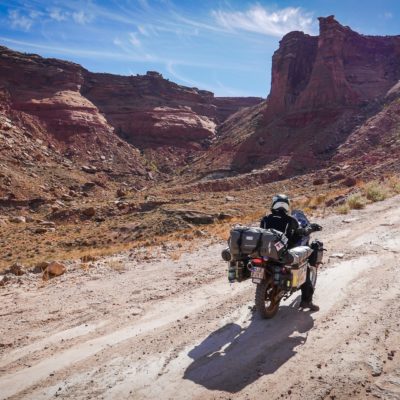
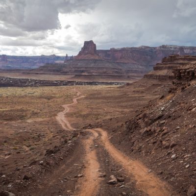
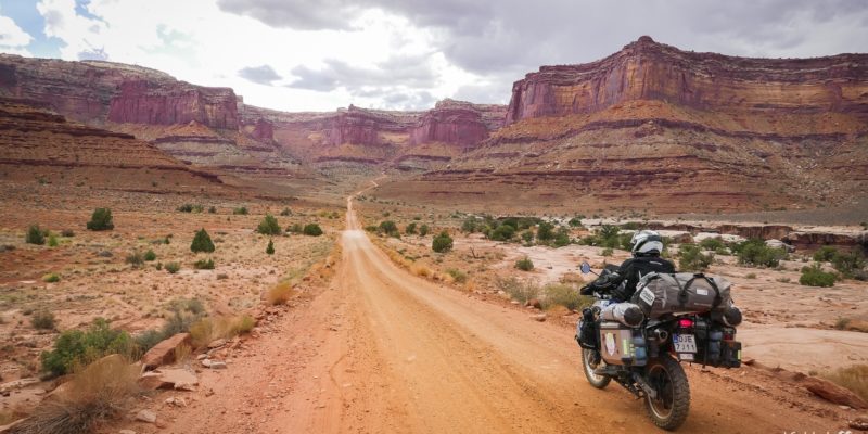
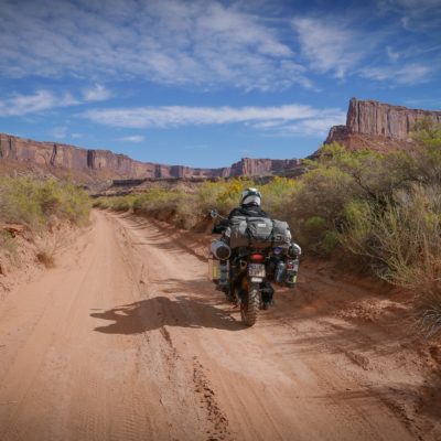
The road surface is gravel with sections of rock and deep sand. However, in general, the road is not difficult except for a few very steep sections with large rocks and a few miles of sand. Road conditions are variable, depending on rainfall. Sometimes water can bring more stones to the path, while during drier seasons the sand can be deep and hard to go through. It's always worth checking conditions of the park roads on the website: https://www.nps.gov/cany/planyourvisit/road-conditions.htm.

The White Rim Road is only available for registered vehicles, so it is not for dirt bikes without plates and ATVs. You also need a permit, so called a day-use permit that is free and can be obtained at the Visitor Center in Canyonlands Park, preferably at least a day earlier.
Because of the incredible scenery that everyone wants to admire, explore and capture in photography, a predicted time for the whole tour is 2-3 days. On the White Rim Road you can only stay on paid camping sites, which should be booked in advance as the road is popular and tent spaces limited. Without camping and photo stops, the entire route can be traveled in about 5 hours.
It's important to bring a large supply of water with you, because water is not available anywhere on the way and there is not much shadow. The nearest water intake is at the Visitor Center. It is recommended to take at least 4 liters per person. The temperature in the summer in Canyonlands can reach up to 46 degrees Celsius (116 F). We were there in October and the weather was perfect. On the park's web page you can see the average temperatures for each month.
Canyonlands National Park
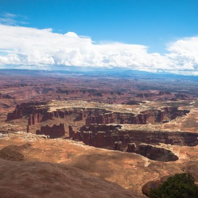
We go to Canyonlands National Park to get the permit for riding the White Rim Road from the Visitor Center and to see the landscape from above. The Island in the Sky District offers many designated viewpoints from where one can admire the marvelous scenery. Entrance to the park costs $15 for motorcycle and $25 per car (unless you possess the annual pass to all the US national parks).
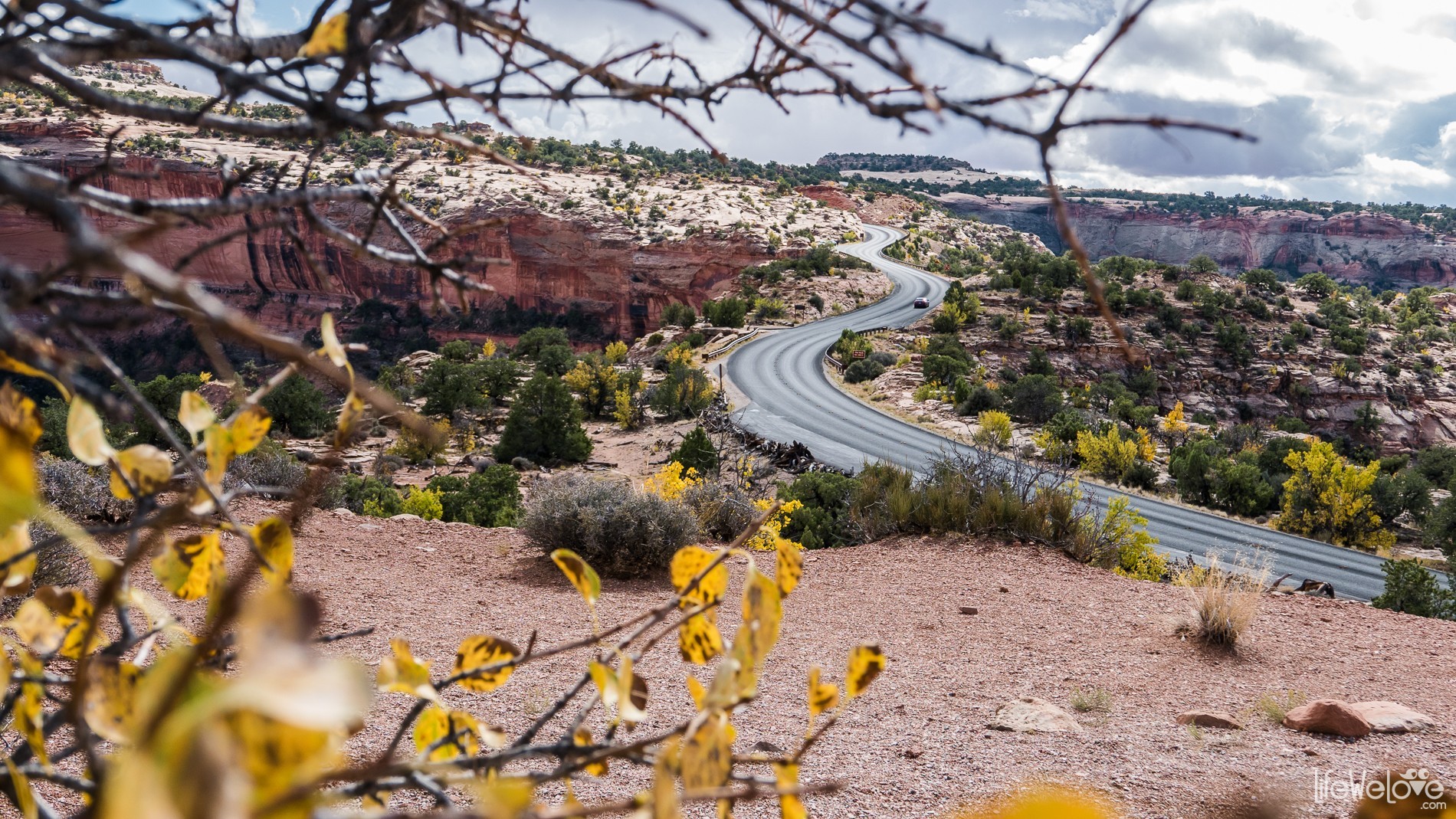
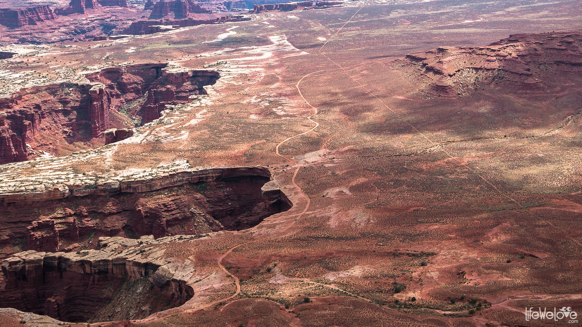
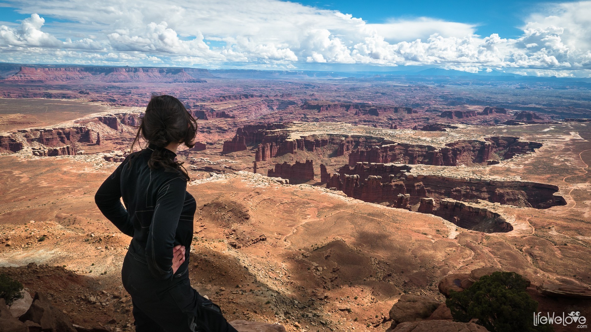
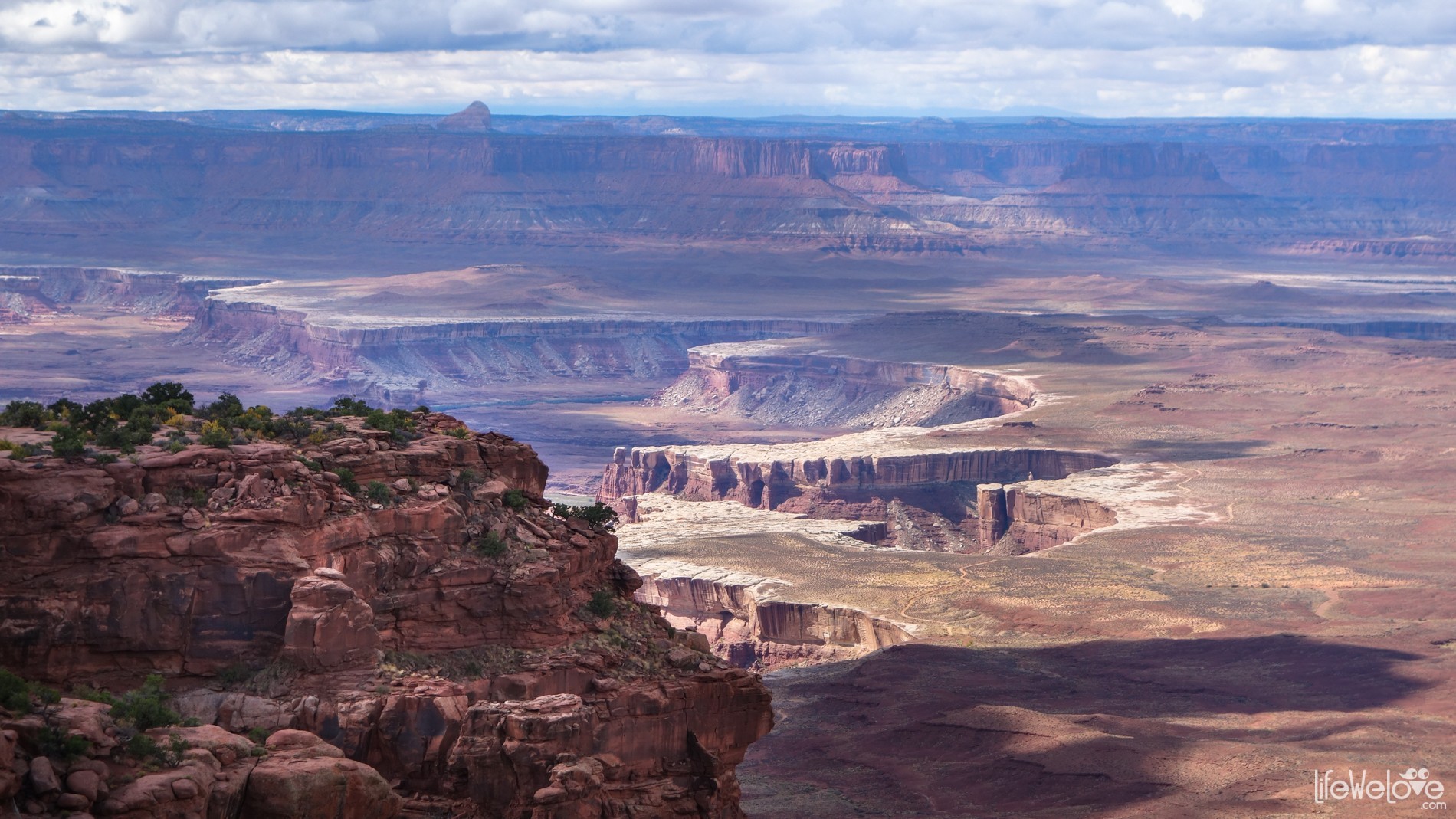
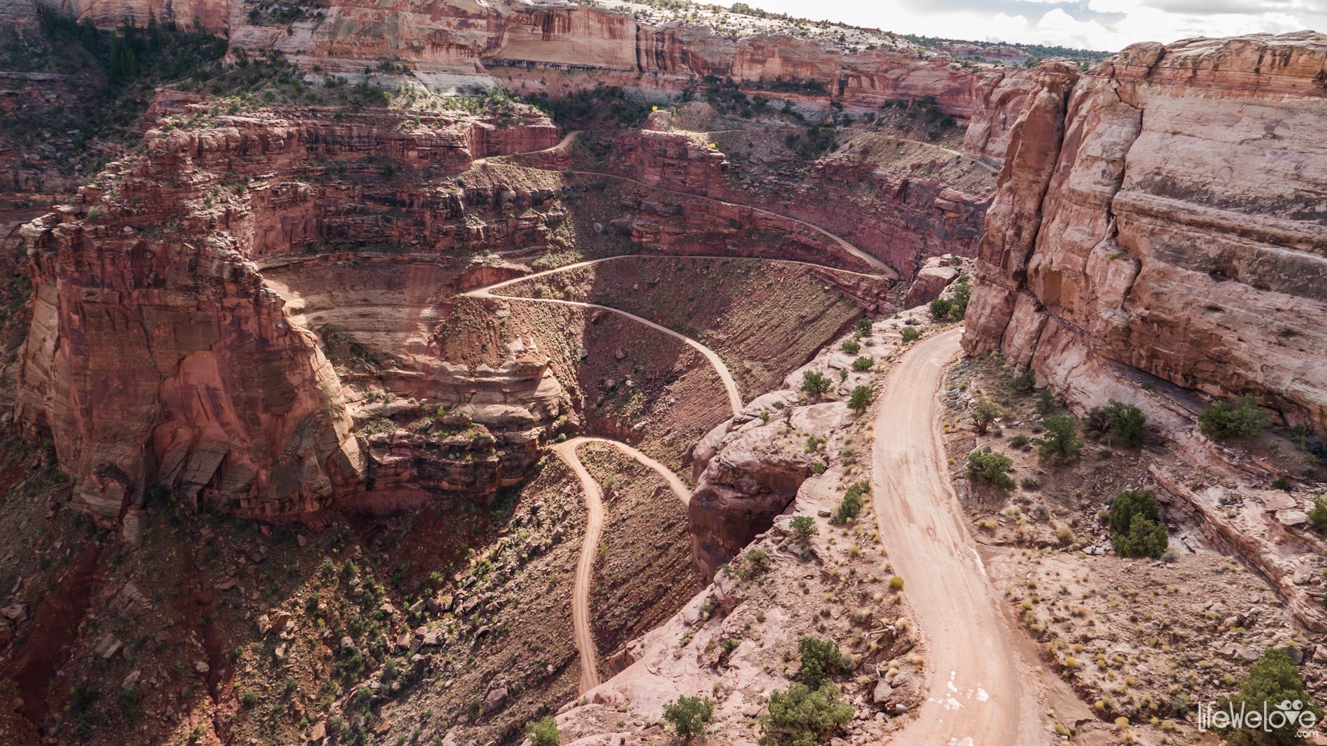
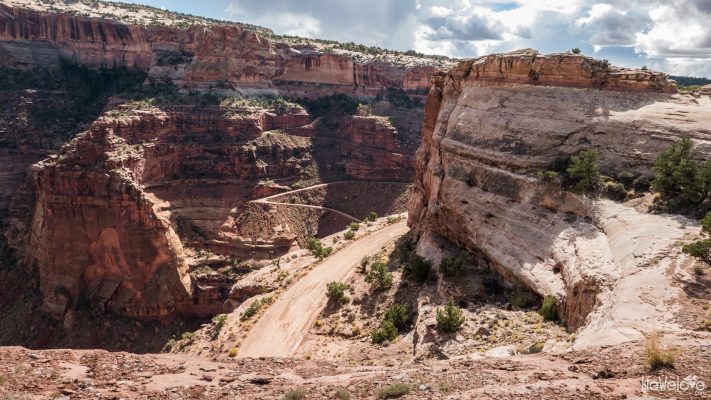
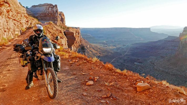
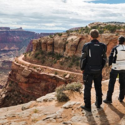
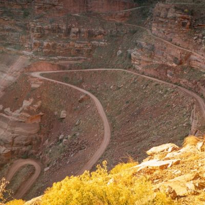
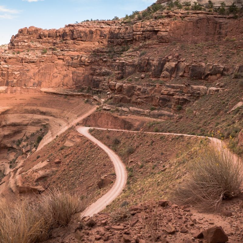
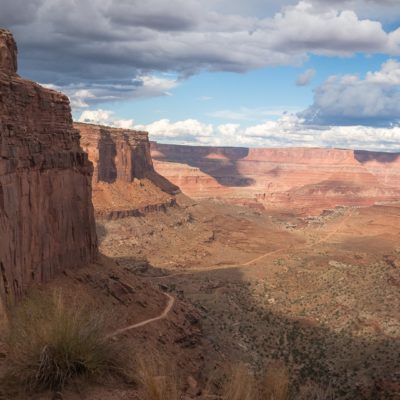
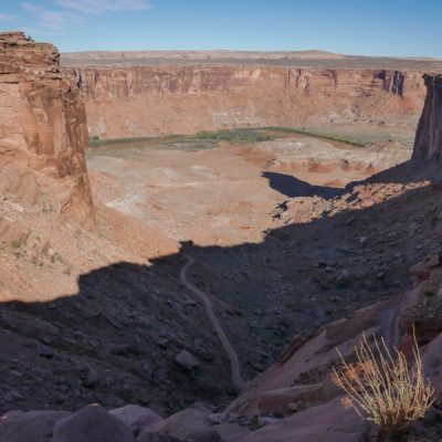
We can also see the Shafer Trail Road (Shafer Canyon Road) leading to the White Rim Road from the east side. Views are spectacular, literally we feel weak at the knees when looking at the sharp switchbacks we have to overcome the next day. The serpentine cuts the steep rocky wall making phenomenal zig-zags. The Shafer Trail has a reputation of a frightening and dangerous road that on a 18 mile stretch provides a huge adrenaline injection. After a rainfall the road surface becomes very slippery and dangerous. So it's better to let go riding super slippery mud above abysses. It can end up tragic.
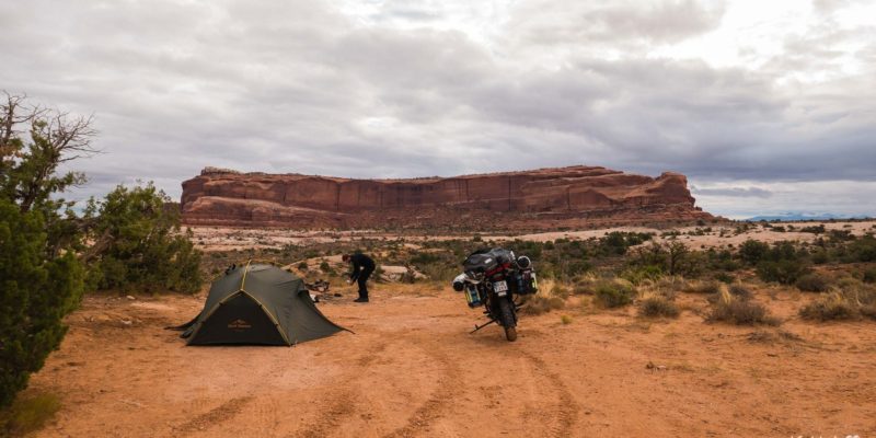
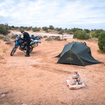
On the day of entering the White Rim Road, we decide to get up before sunrise to catch the first sun rays on the rock shelves. There is quite a lot of public area (BLM) near Canyonlands, where you can camp for free. One motorcyclist from Moab advised us where to camp and we were charmed by the place. It is located on Dubinky Well Rd Road about 8 miles (13 km) from junction of roads 191 and 313 towards Canyonlands. At the beginning of the road there is a paid Lone Mesa Campground, but further you can camp freely at many places.
The White Rim Road
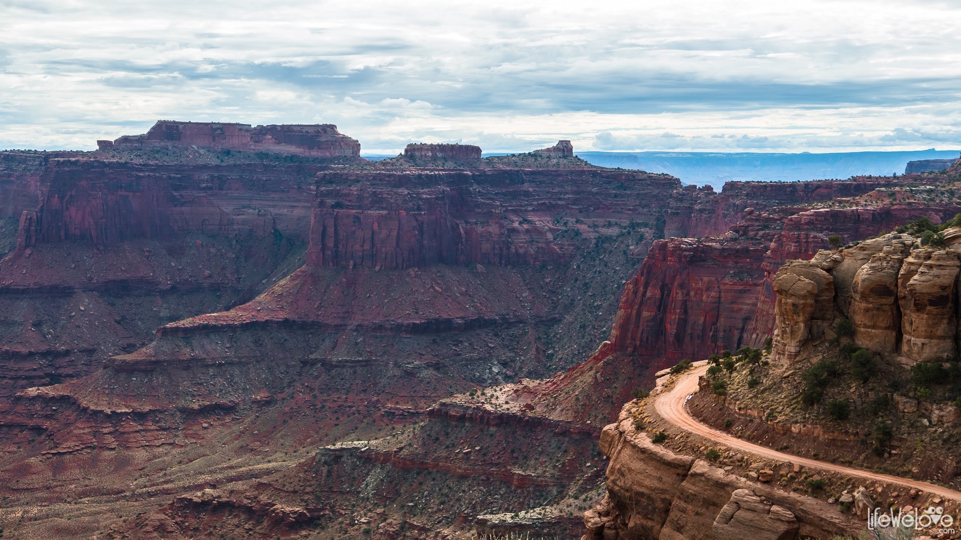
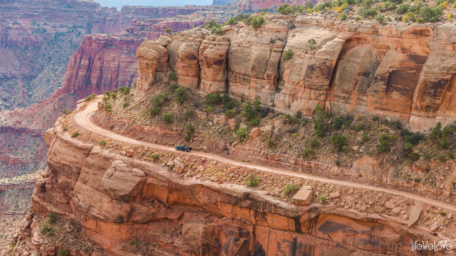
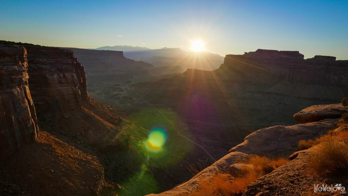
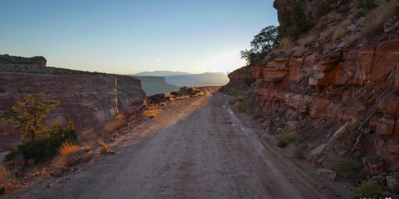
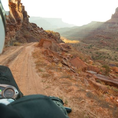
We start at 6 o'clock at the dawn. We are 30 minutes away from Canyonlands. There's no one else on the road, even the entrance to the park is empty, there is no Ranger at the counter, so we head straight to the Visitor Center to get water. We enter the Shafer Trail with cameras turned on. The sun rises over the rocks and gorges painting them with beautiful color, arousing our delight, but also the fear when we drive down the narrow and winding path. Every few meters we stop and take photos, because on every corner there is a new breathtaking panorama. It is early morning, so don't pass by other vehicles. It would be even more stressful. We slowly ride down to the White Rim Road without much fear, except for one moment when Liwia holds her breath and nervously shudder as we drive very close to an abrupt part of the road.
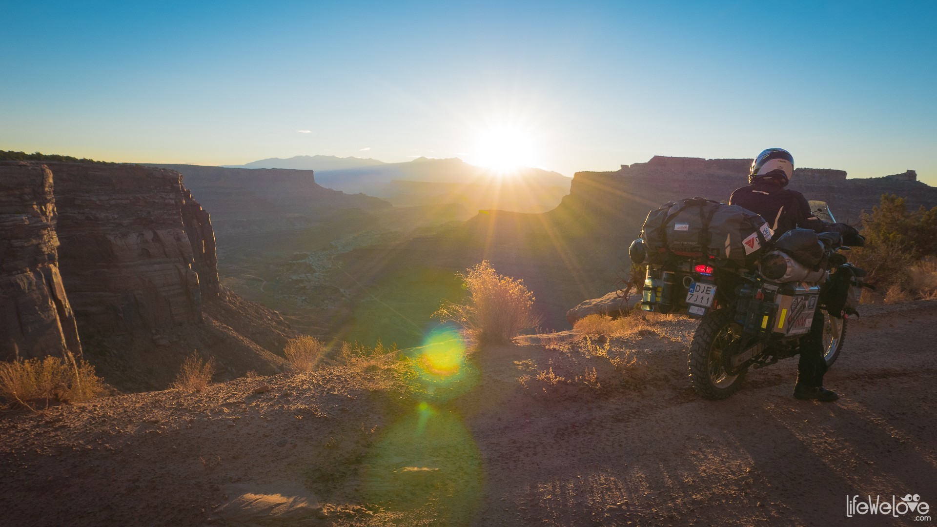
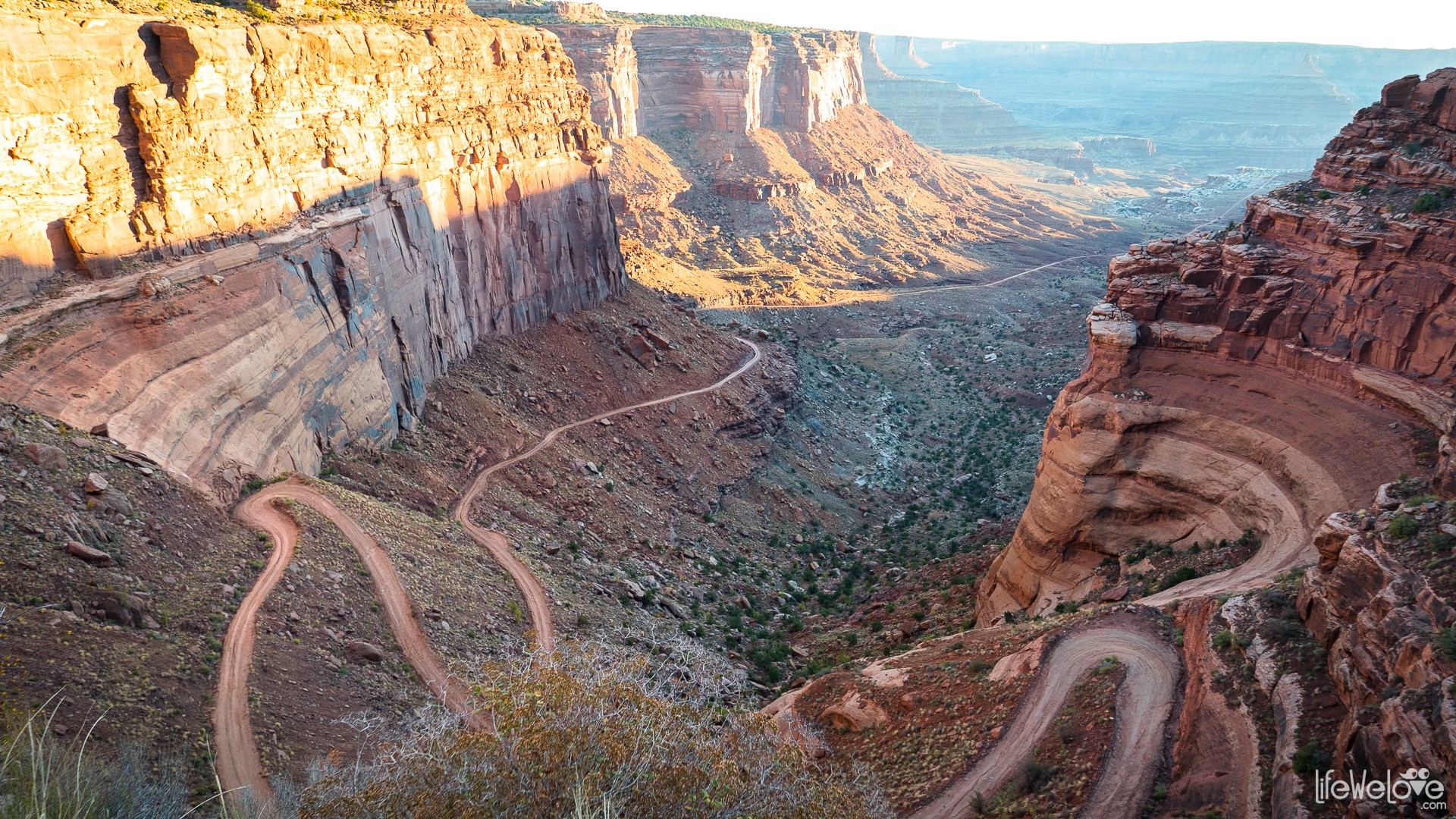
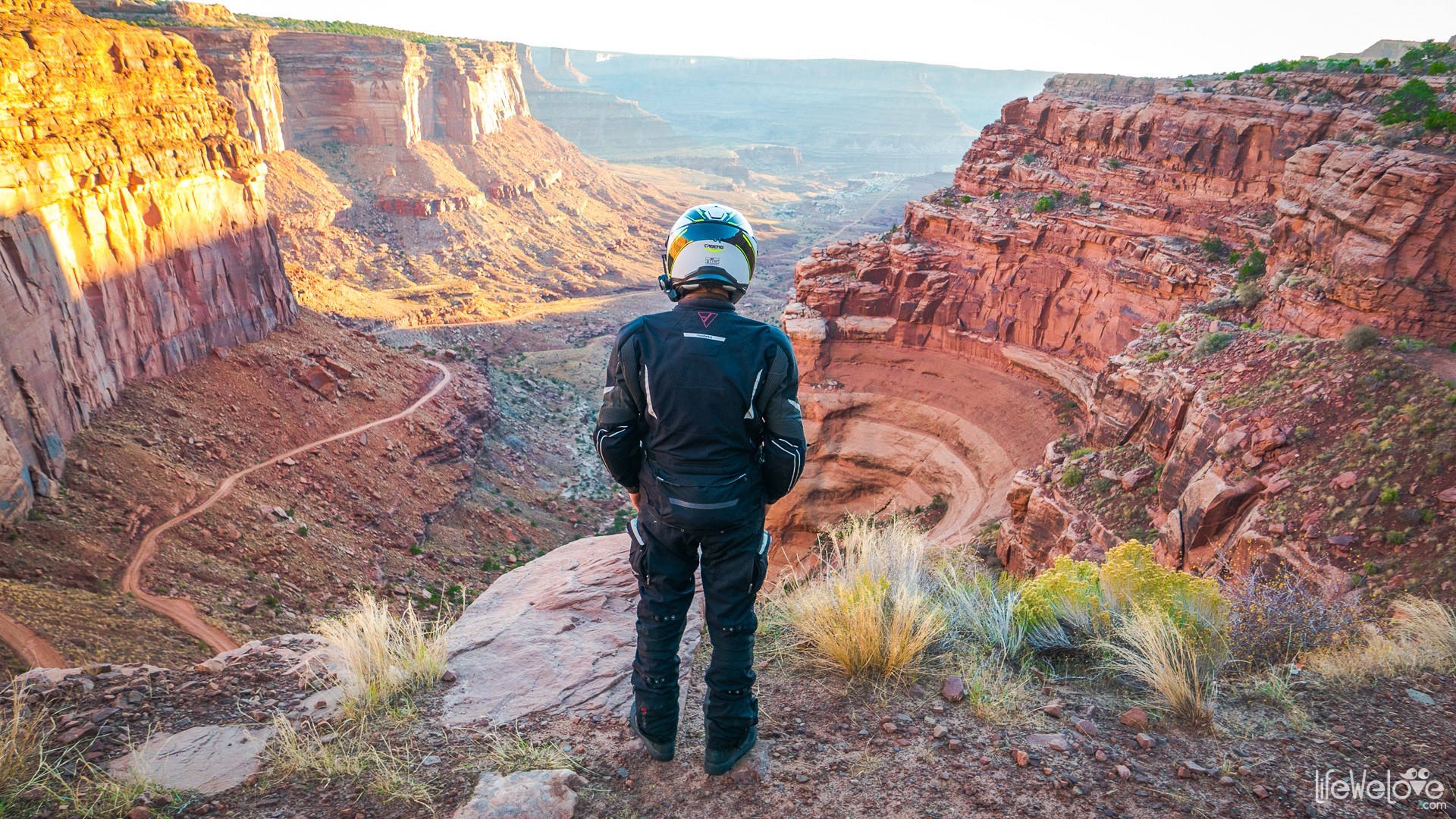
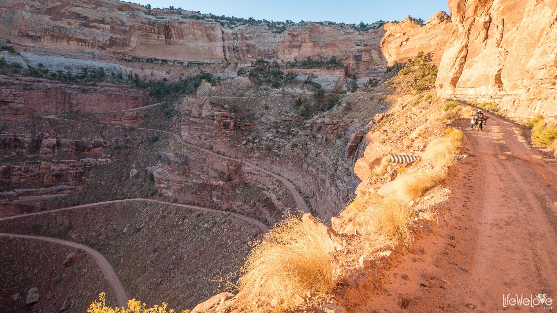
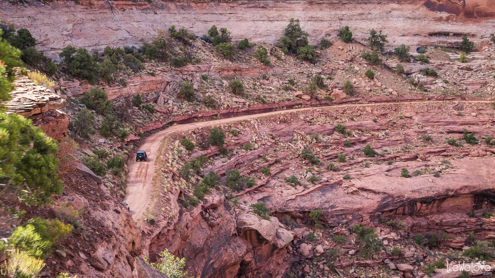
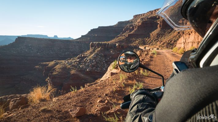
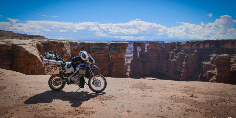
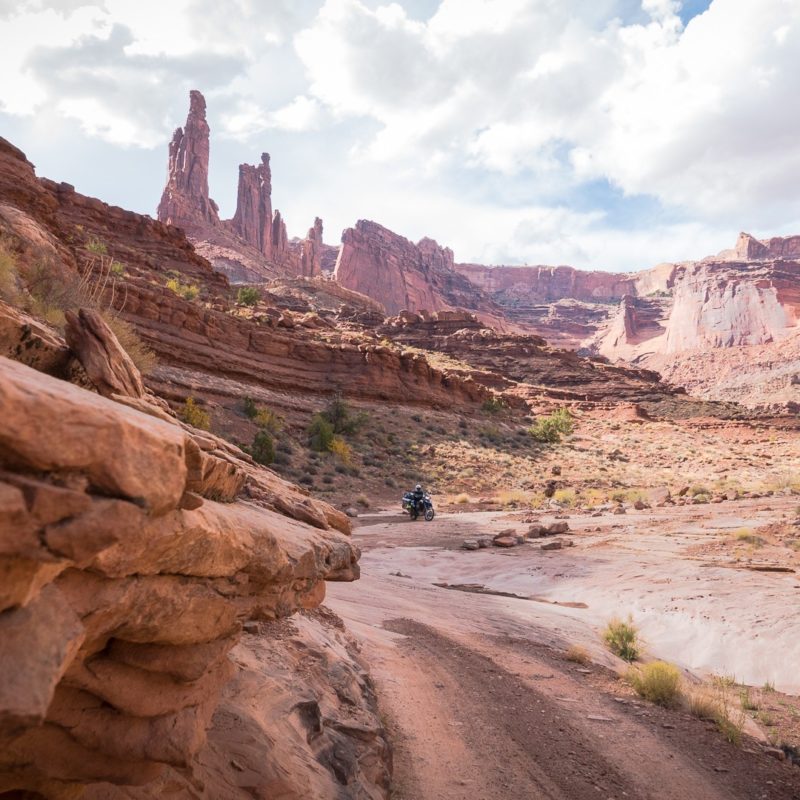
After the Shafer Trail, we enter the White Rim Road and enjoy the ride between canyons and fantastic rock formations. Some portable toilets located by the road save in need.
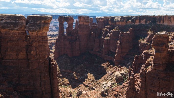
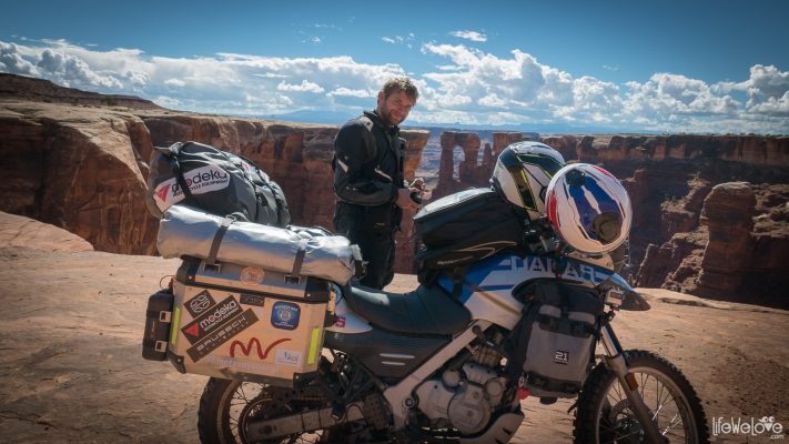
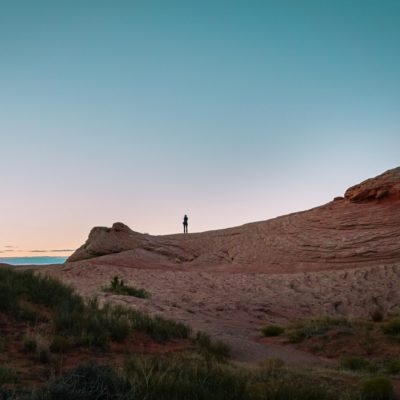
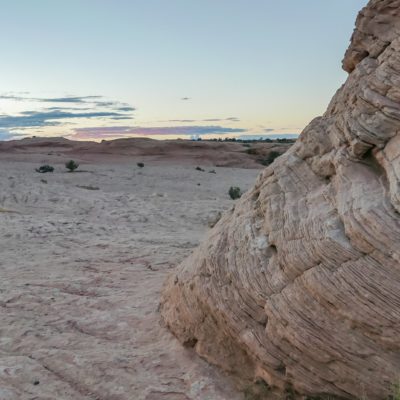
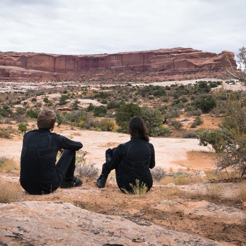
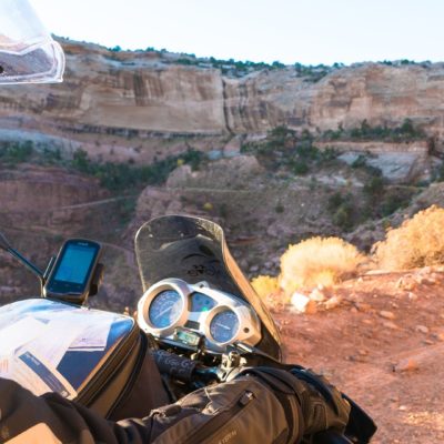
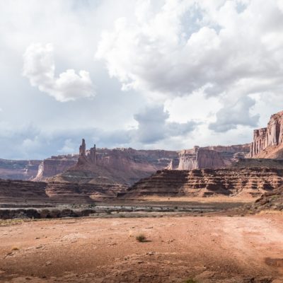
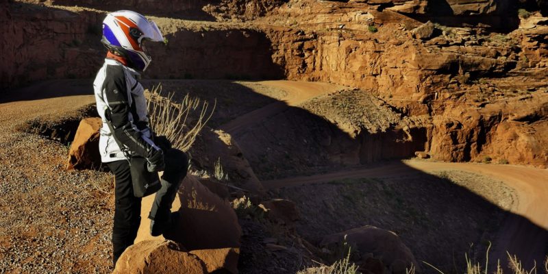
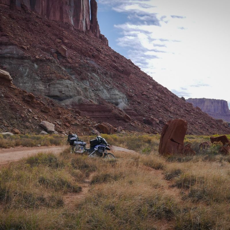
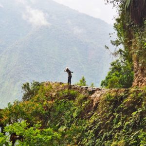
All around you can see many rock formations that even got their nicknames, such as the Washer Woman Arch or Airport Tower. We spot a mysterious figure, a desert wanderer on the top of one hill. It's no one else but Muad'Dib from Frank Herbert's "Dune", who looks at us us from above. The views are amazing and although the road in some places gets more difficult as we have to overcome the rocky driveways, we keep going with an indescribable delight. On the way we meet bikers, Jeeps and off-road pickup drivers. Some other motorcyclists pass by and make big eyes when seeing our loaded Dakar with 2 people up.
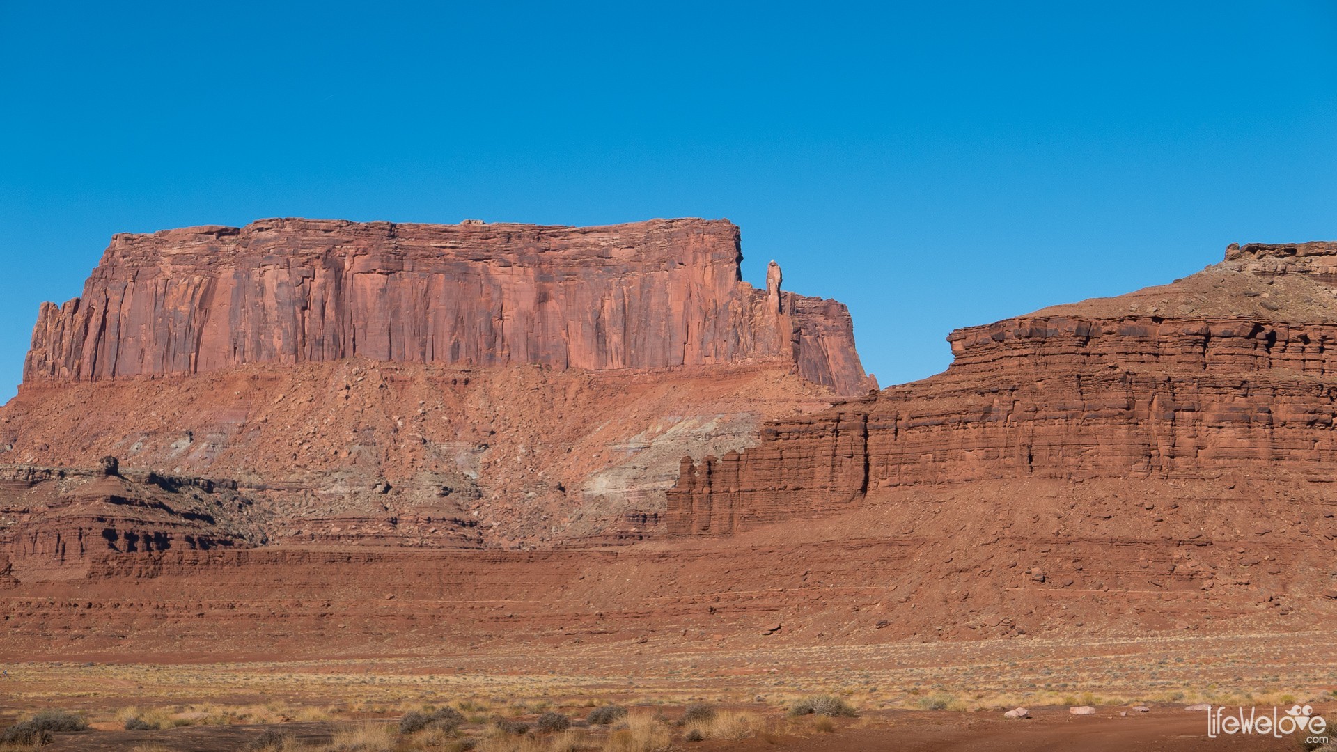
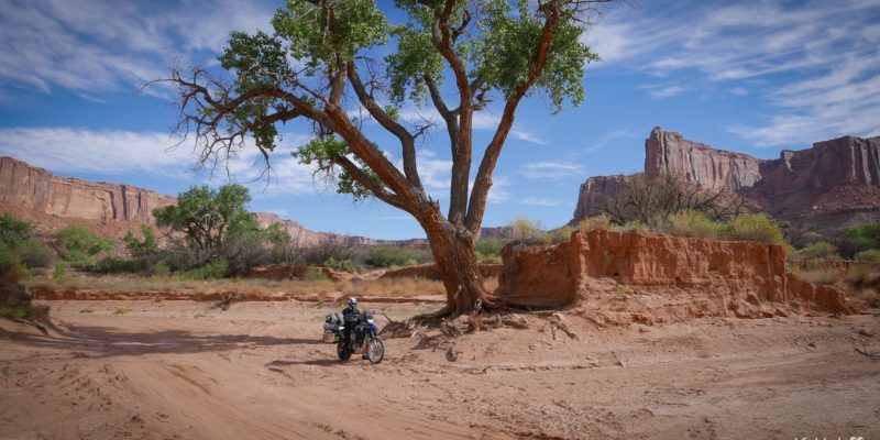
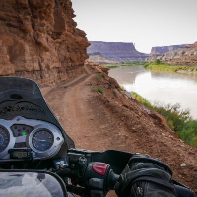
After 40 miles (64 km), the route gets harder and we have to overcome steep, sharp turns with large stones and ruts. We fall down once, luckily at low speed. Closer to the west side, the road is covered with deep sand where I fall down but land softly on the sand. It's good that the sand is not deep enough to completely bury the back of the bike. The Green River, which forms the meanders around the White Rim Road, adds charm to the whole scenery.
The culmination of the route is a 16 mile (26 km) Mineral Bottom section, which the Shafer Trail alike, provides many scenic and beautiful views and winds up with 180 degree switchbacks.
Info about the White Rim Road
| Distance | About 100 miles (160 km) |
| Start / finish | Shafer Trail / Mineral Bottom |
| Surface | Off-road sections of deep sand, large rocks, steep climbs, the ruts |
| Accessibility | Open all year |
| Hazards | Narrow road over unprotected precipices, narrow, steep corners, very steep rocky driveways |
| Traffic | Small |
| Attractions on the way | Various rock formations, canyons, desert flora and fauna, the Green River and the Colorado River |
| Max altitude | 1 888 m a.s.l. |
loading map - please wait...
| The beginning of the Shafer Trail Shafer Trail Utah, Stany Zjednoczone Ameryki | |
| Camping spots Dubinky Well Road Utah, Stany Zjednoczone Ameryki | |
| Mineral Bottom Road Mineral Bottom Uta | |
52




Cliff
Awesome photos, place, adventure! Thank you for sharing. I know my next destination for me and my KLR :>
Hiram Doria
Olha Thiago Doria vamos fazer?
Tom Moc
Pavel?
Pavel Gorski
Sprzęty gotowe!
Tom Moc
A jaka pogoda tam na xmas Lifewelove?
Lifewelove
W grudniu ok. 7st C, więc w pełnej zbroi da się jechać :) Pełen wykaz średnich temperatur znajduje się zwykle na stronach parków narodowych. Również dla Canyonlands: https://www.nps.gov/cany/planyourvisit/weather.htm Trzeba tylko przekonwertować z Fahrenheit na Celsius
Tom Moc
Wielkie dzięki, właśnie czegoś takiego szukałem.
Lifewelove
W sumie pochopnie podaliśmy najwyższą średnią temp. Analizując wszystkie dane z tabeli, widać, że zdarzają się w grudniu też temp. -15 st. i większość dni jest poniżej -3 st. C, co już mocno zmienia sytuację… Październik, kiedy my byliśmy, uznaje się za idealny okres dla eksploracji tych rejonów i rzeczywiście pogoda i warunki drogi były wtedy idealne.
Tom Moc
Dzięki, to rzeczywiście zmienia sytuacje. Jazda na moto przy minusie to nie moja bajka więc Xmasowy wyjazd się przesunie na inny miesiąc. Boskie miejsce, btw, zazdro!
Lifewelove
Zgadza się, miejsce nieziemskie, ciężko było uwierzyć, że to nie fototapeta. Xmasowy wyjazd to będzie podróż z Polski za Atlantyk czy mieszkasz w USA?
Tom Moc
Byłby, bo wygląda na to będzie musiał poczekać ;) ja z Londynu ale moto w Stanach.
Marcia Cantor
Love this! This is going to be on Barr’s and mine, Bucket list! Have never been to Utah or Yellowstone, Thank you for sharing. Happy to see you are doing well, Miss you guys! XoXo
coleman
I did the 100 miles with my buddy. Pretty scary and very technical ride. We made a movie about it. You can view it on Amazon at Nowhere Fast Motorcycle. Amazing place.
Johnston
Hey guys! Hope you both are doing well. This a great video with very helpful information. I just made my reservation to camp overnight and looking forward to the beautiful scenery and fun trail riding.
Just wanted to say hi, your friend, Johnston @mototrekkin
Cheers,
Johnston
Hey guys! Hope you both are doing well. This a great video with very helpful information. I just made my reservation to camp overnight and looking forward to the beautiful scenery and fun trail riding.
Just wanted to say hi, your friend, Johnston
Cheers,
Liwia
Hi Johnston! I apologize I’m replying so late, didn’t notice your comment before. It’s great to hear from you! How was the White Rim Road, did you have fun and enjoyed beautiful views? Have you posted photos from the trail anywhere online? I don’t see any on your Instagram channell. I hope you’re doing well :) Best regards from Poland!